Nationwide Service | Houston Headquarters

Reality IMT Project Deliverables
Sample 3D Scanning, CAD, BIM & Mapping Deliverables
Explore representative point clouds, floor plans, CAD drawings, Revit models, GIS datasets, reports, and visual documentation produced for building, industrial, real estate, rail, and infrastructure projects.
Representative previews only. Samples shown on this page vary by industry, project scope, required accuracy, intended use, and requested file formats. Complete sample packages are available to qualified clients upon request.
Browse Deliverables by Industry
Select an industry to view representative deliverables and common project applications
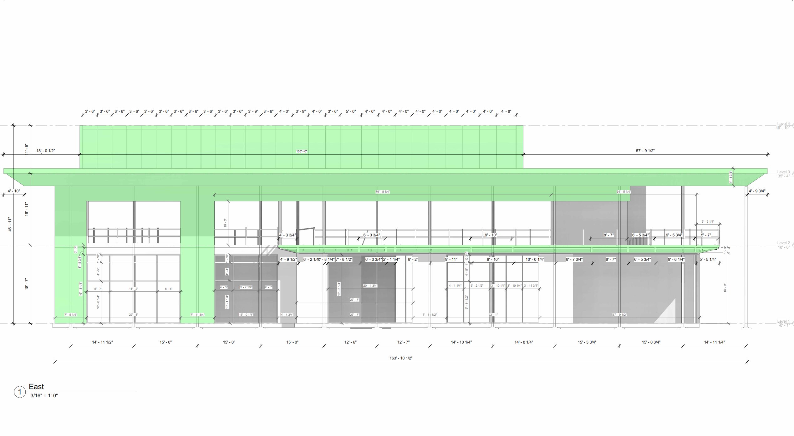
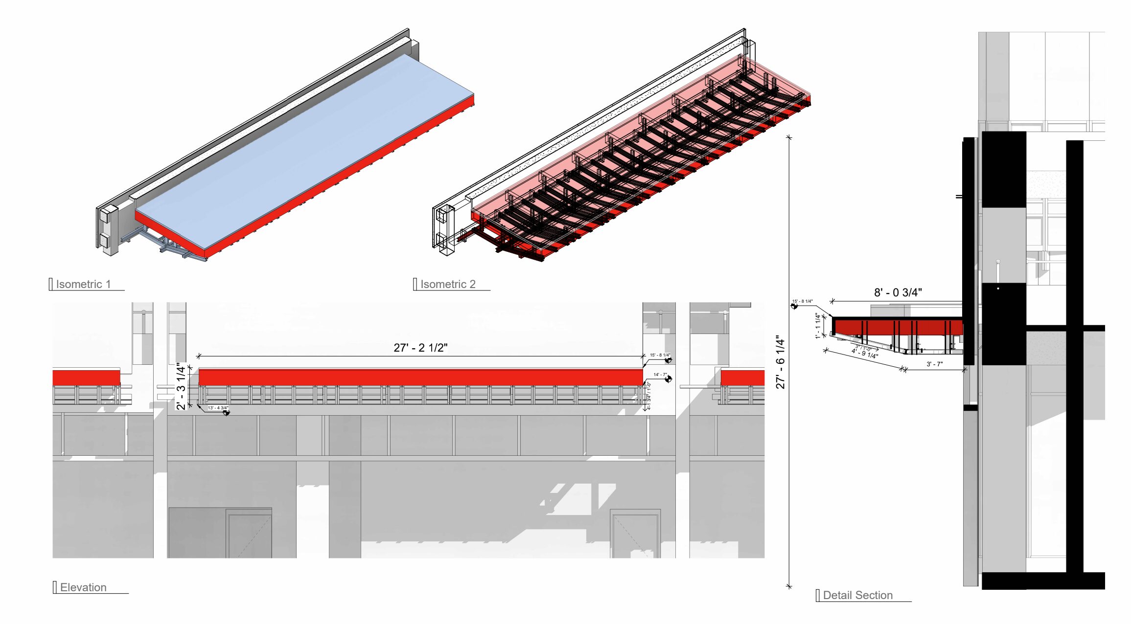
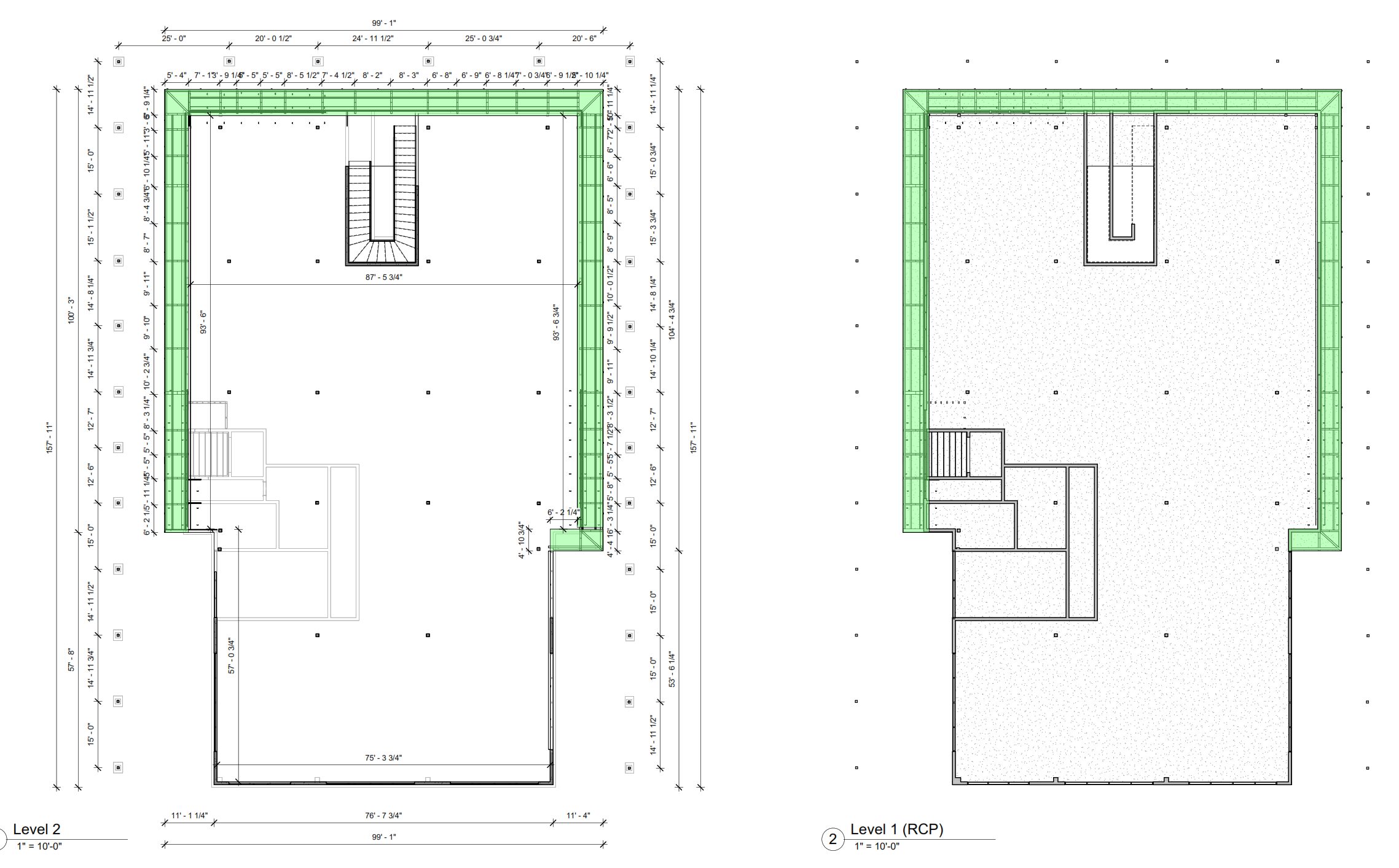
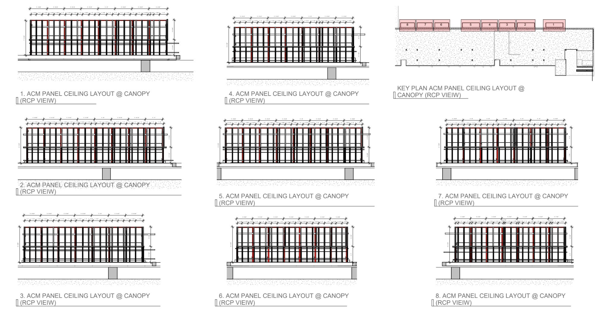
Exterior Elevation Scanning
as-built measurements for ACM panels organized by building, showing exterior elevations and opening dimensions for distribution to fabricators and contractors.
Request a Related Sample
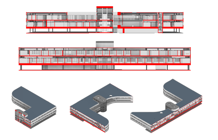
Structural As-Built
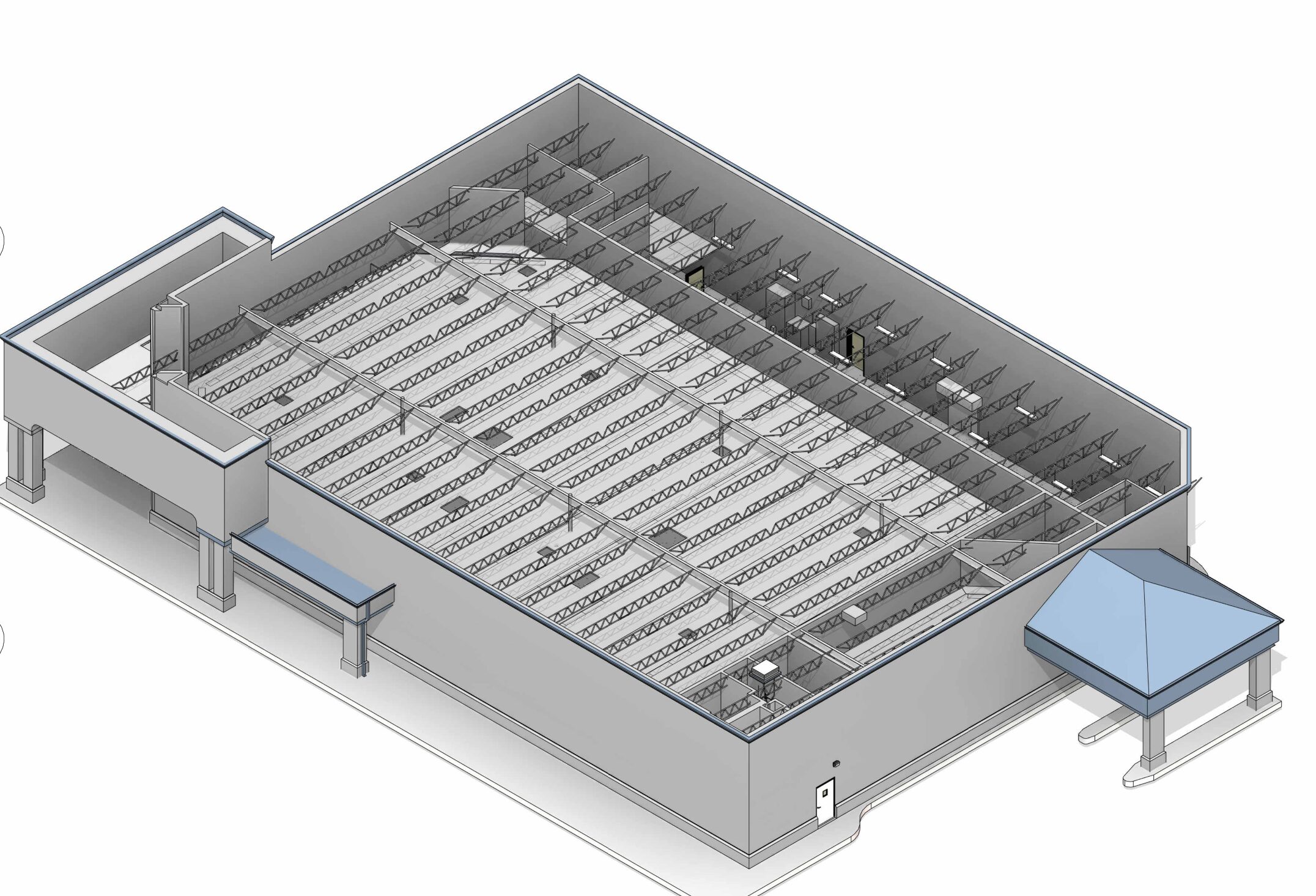
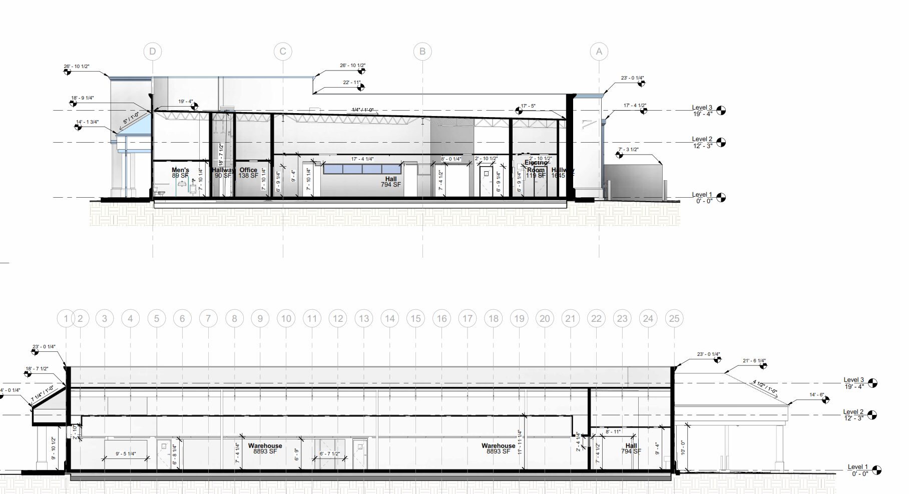
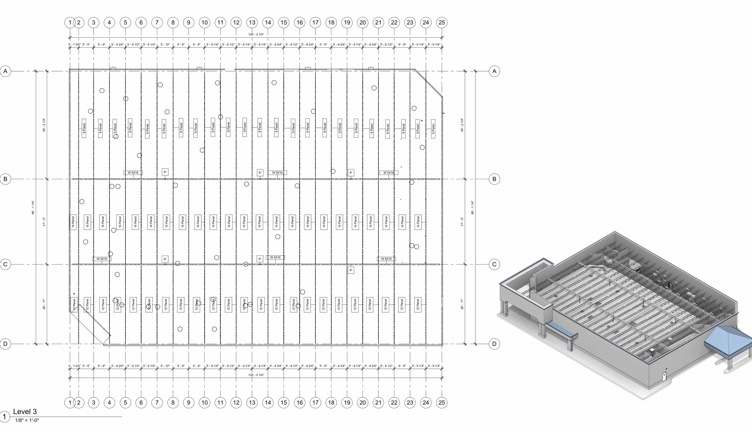
3D as-built structural model of an existing pharmacy building that was completely documented using terrestrial laser scanning and pointcloud
Request a Related Sample
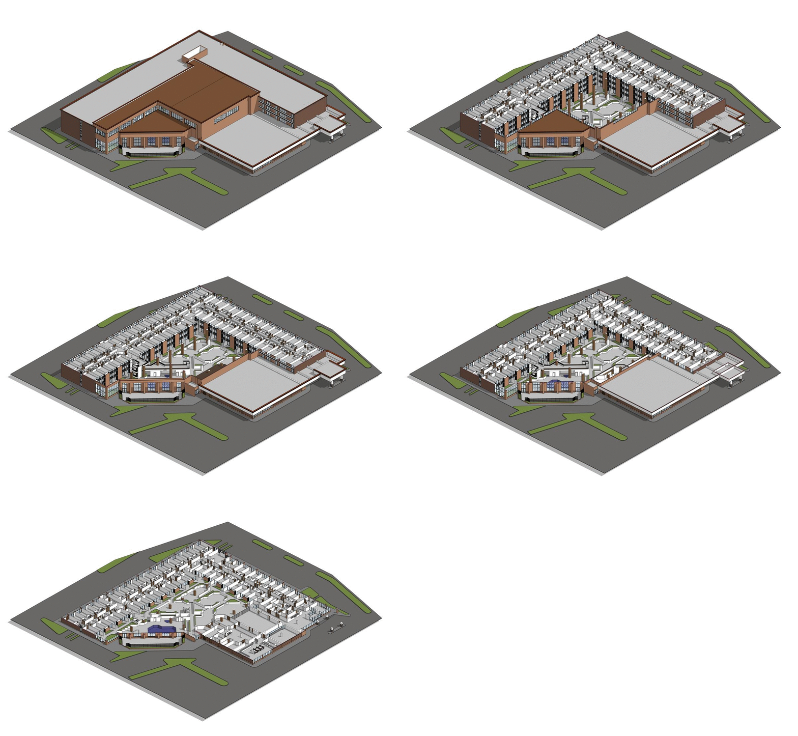
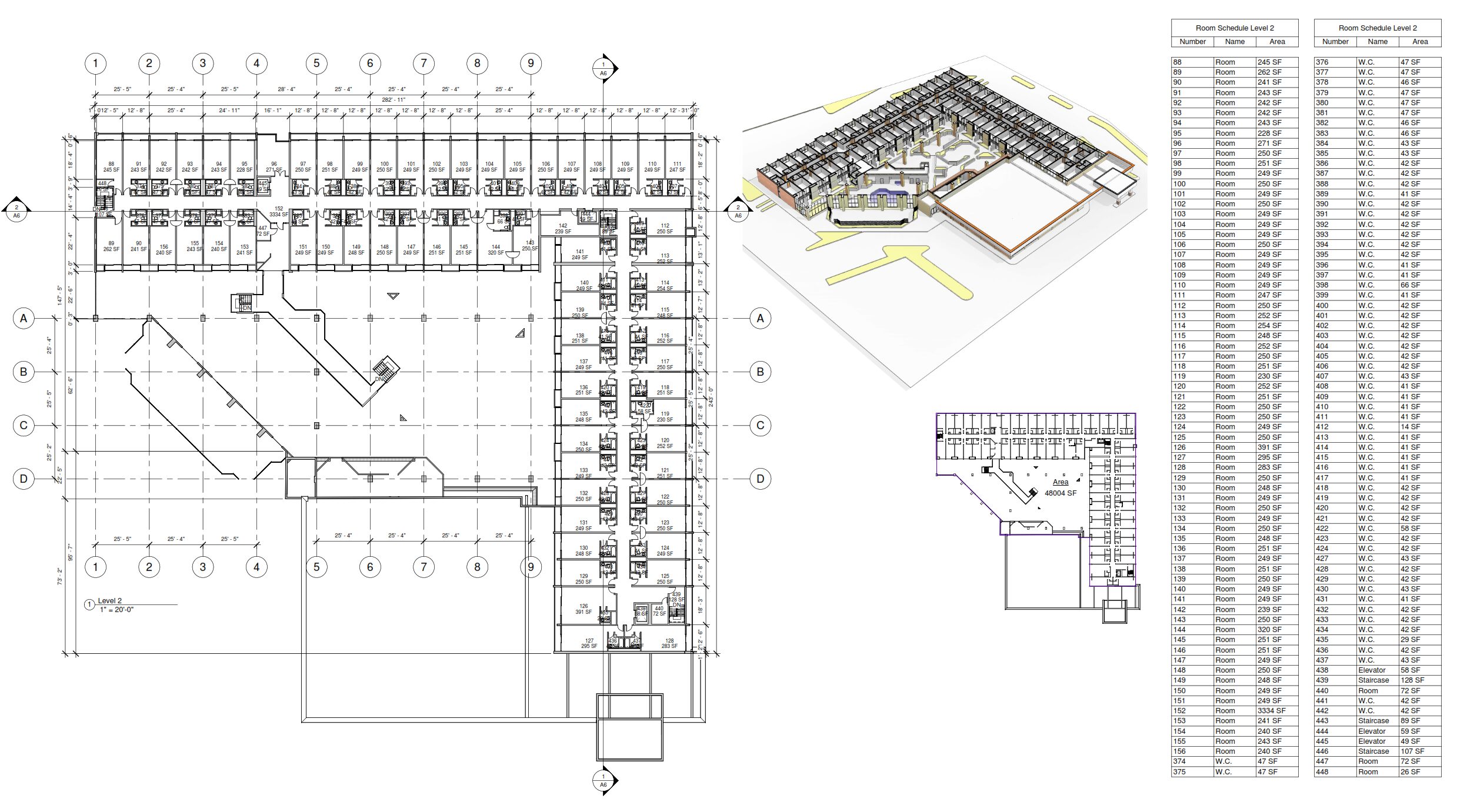
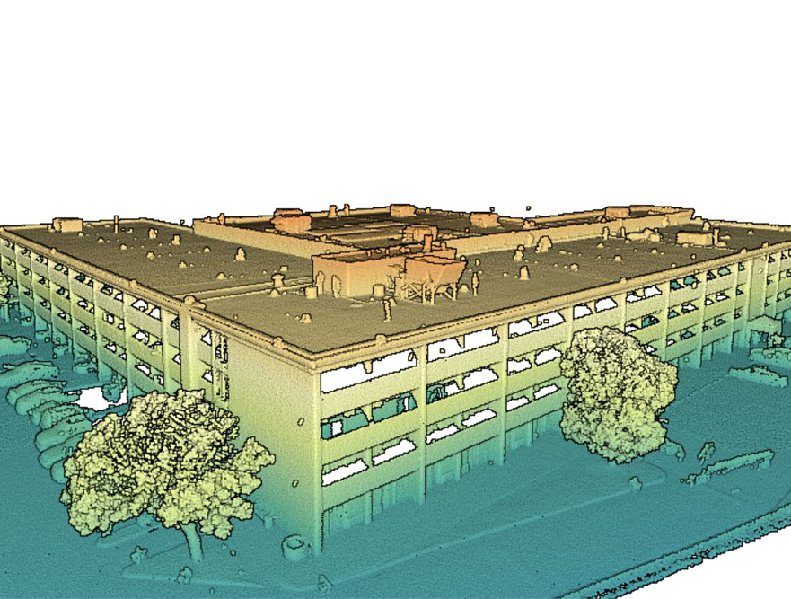
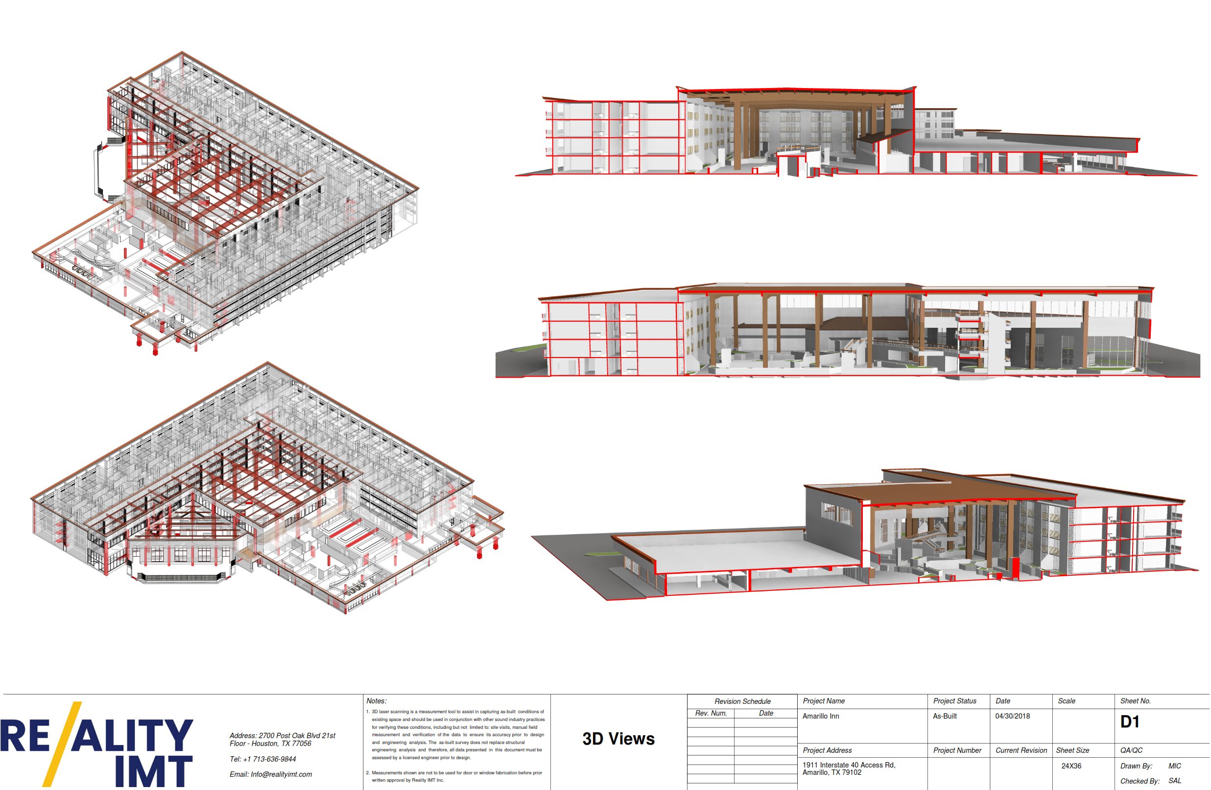
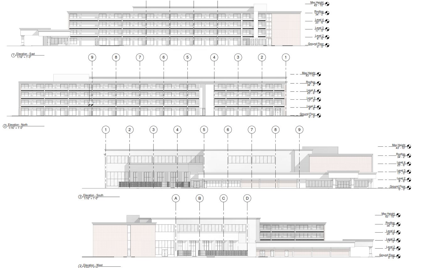
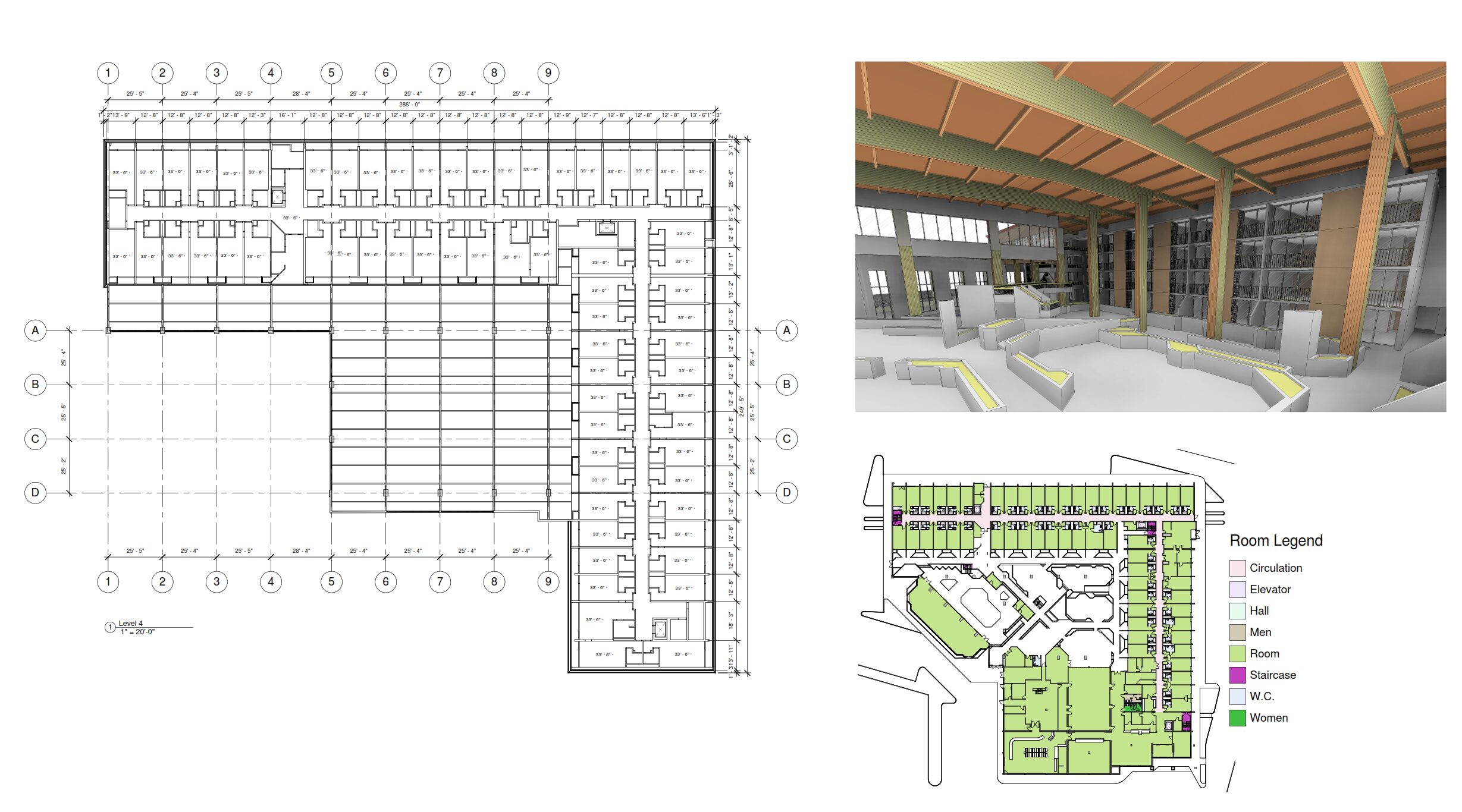
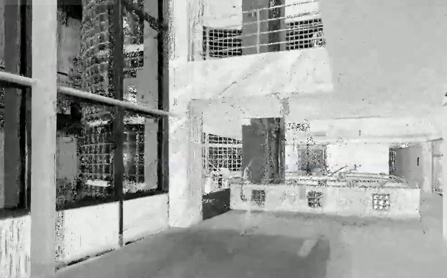
Hotel Exisiting Condition Documenation
Sample data include pointcloud, Revit model, structural as-built and BOMA calculations.
Request a Related Sample
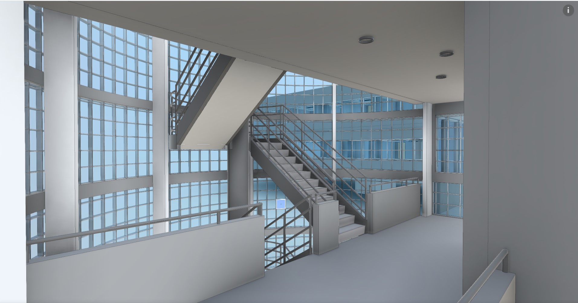
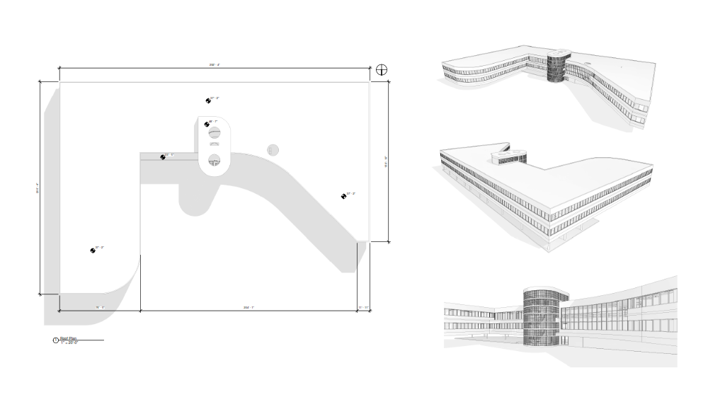
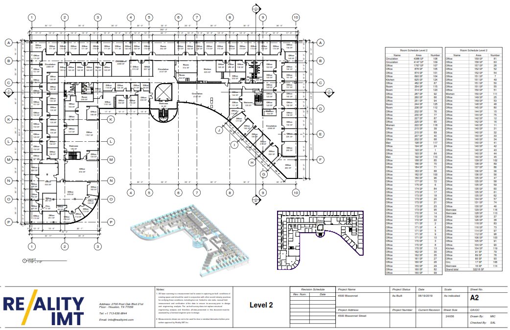
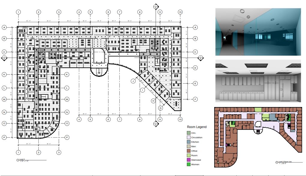
Office BOMA Measurements
As-Built drawings produced from 3d laser scanning field measurements that produced a Revit model with BOMA analaysis
Request a Related Sample
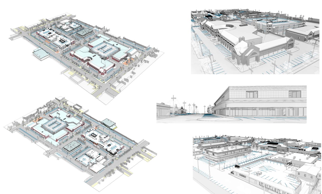
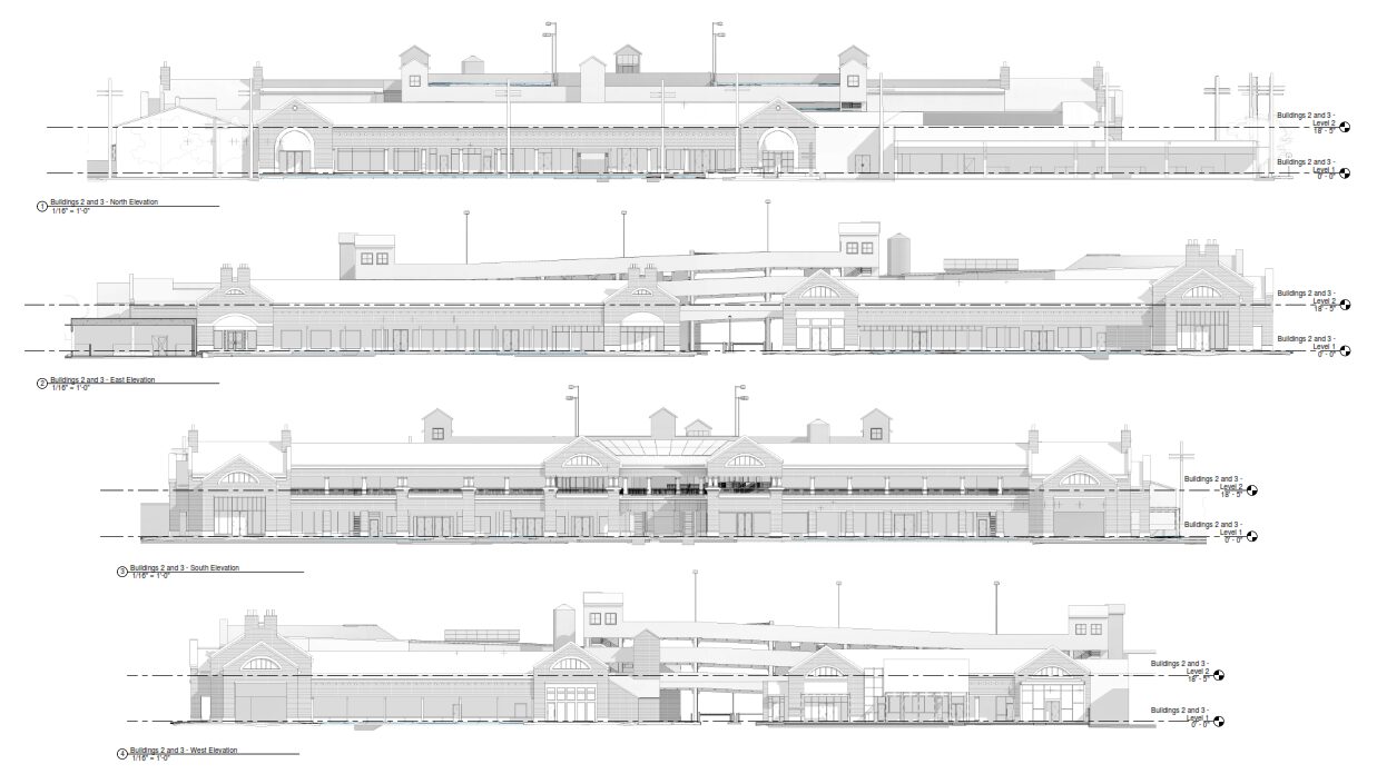
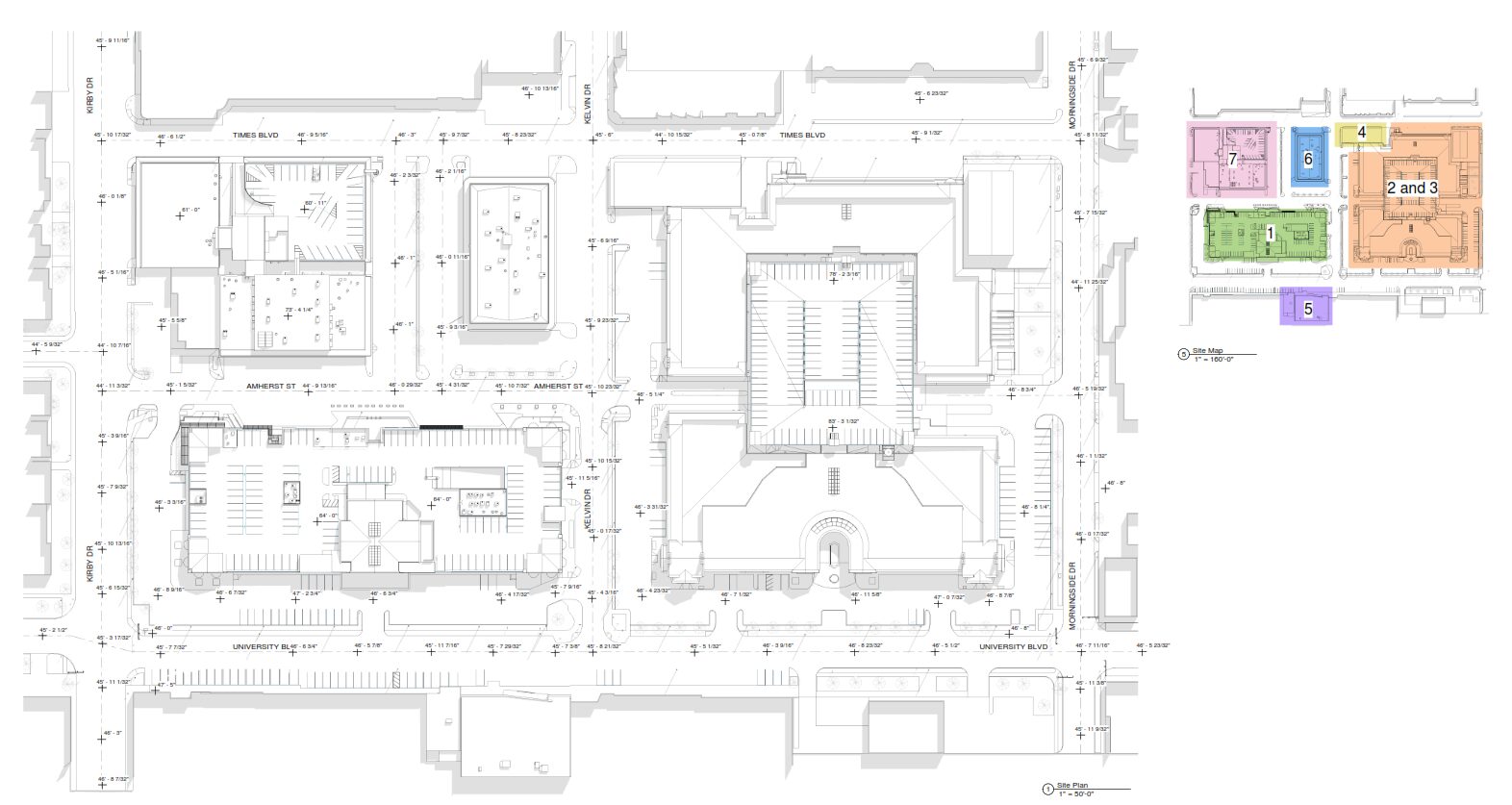
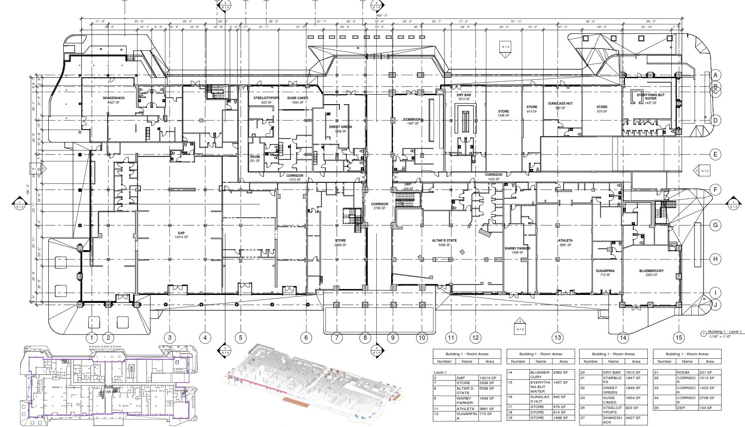
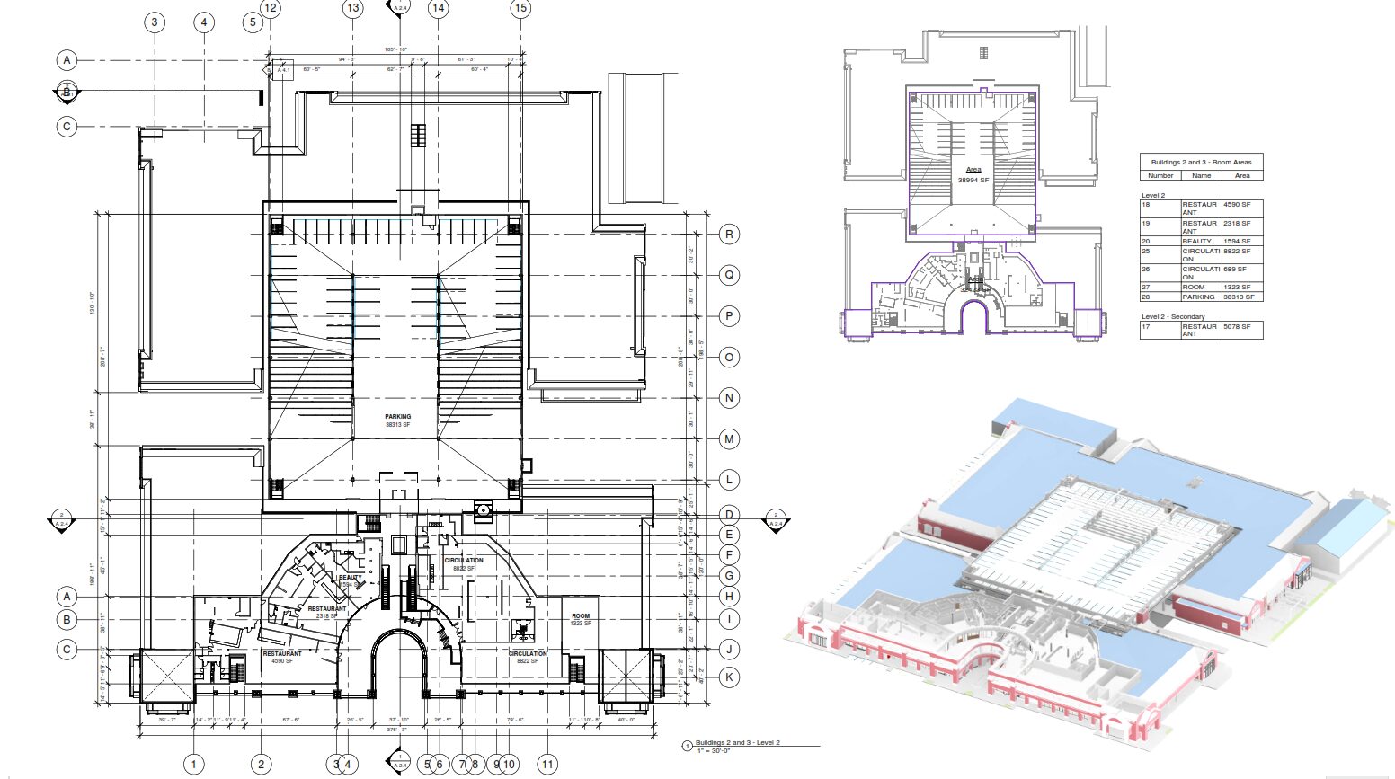
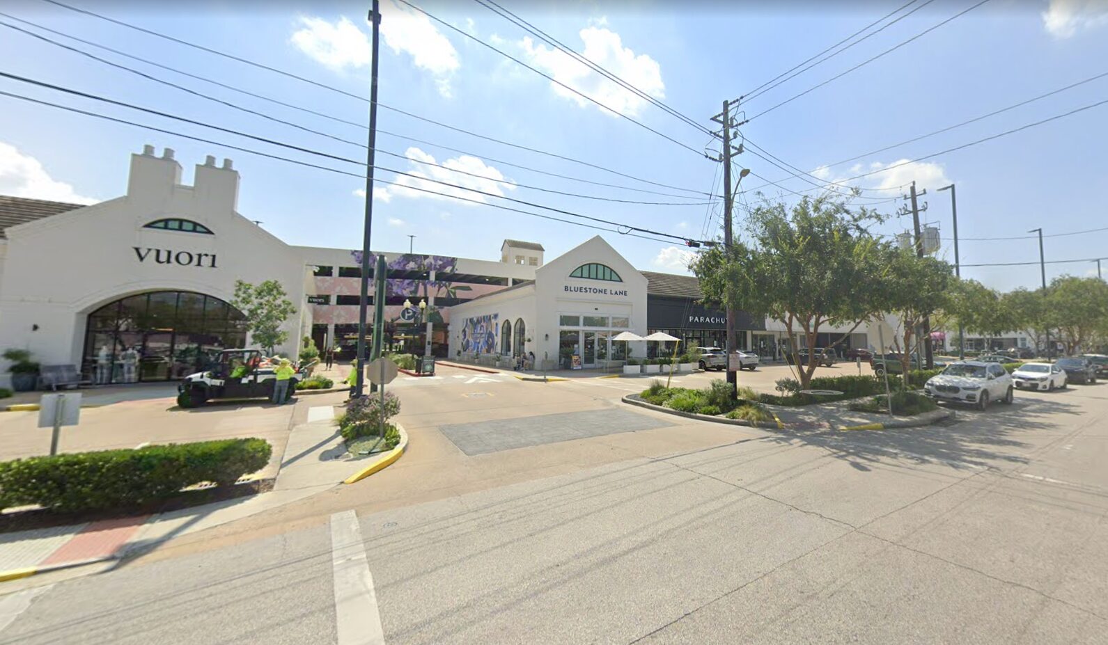
Retail Existing Condition Drawings
Samples include 3D Revit model existing condition, Floorplan, exterior elevations and panoramic photo documentation
Request a Related Sample
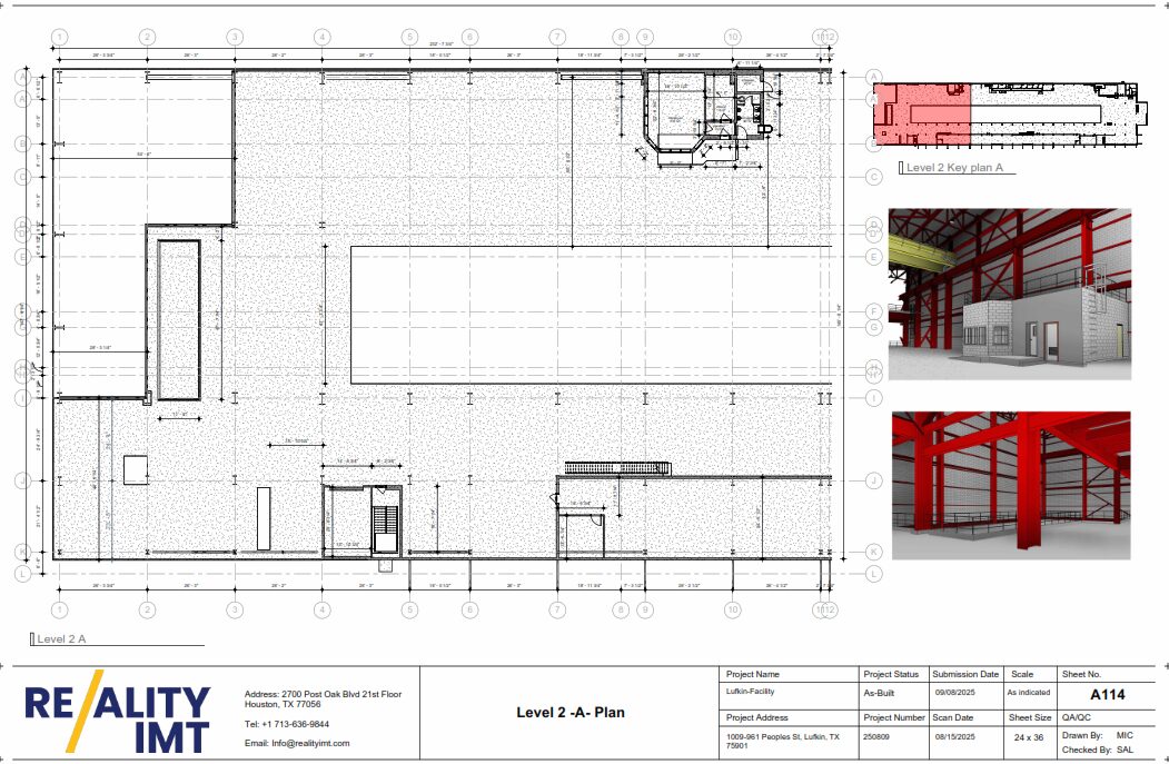
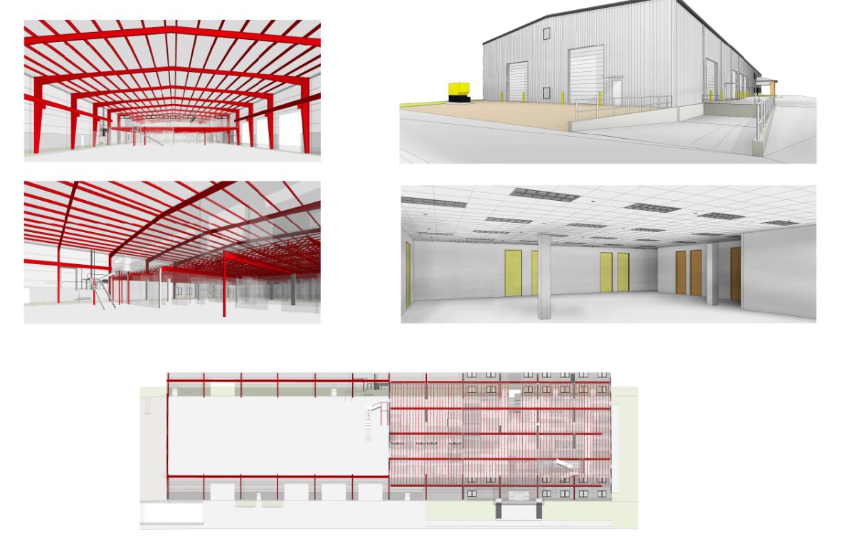
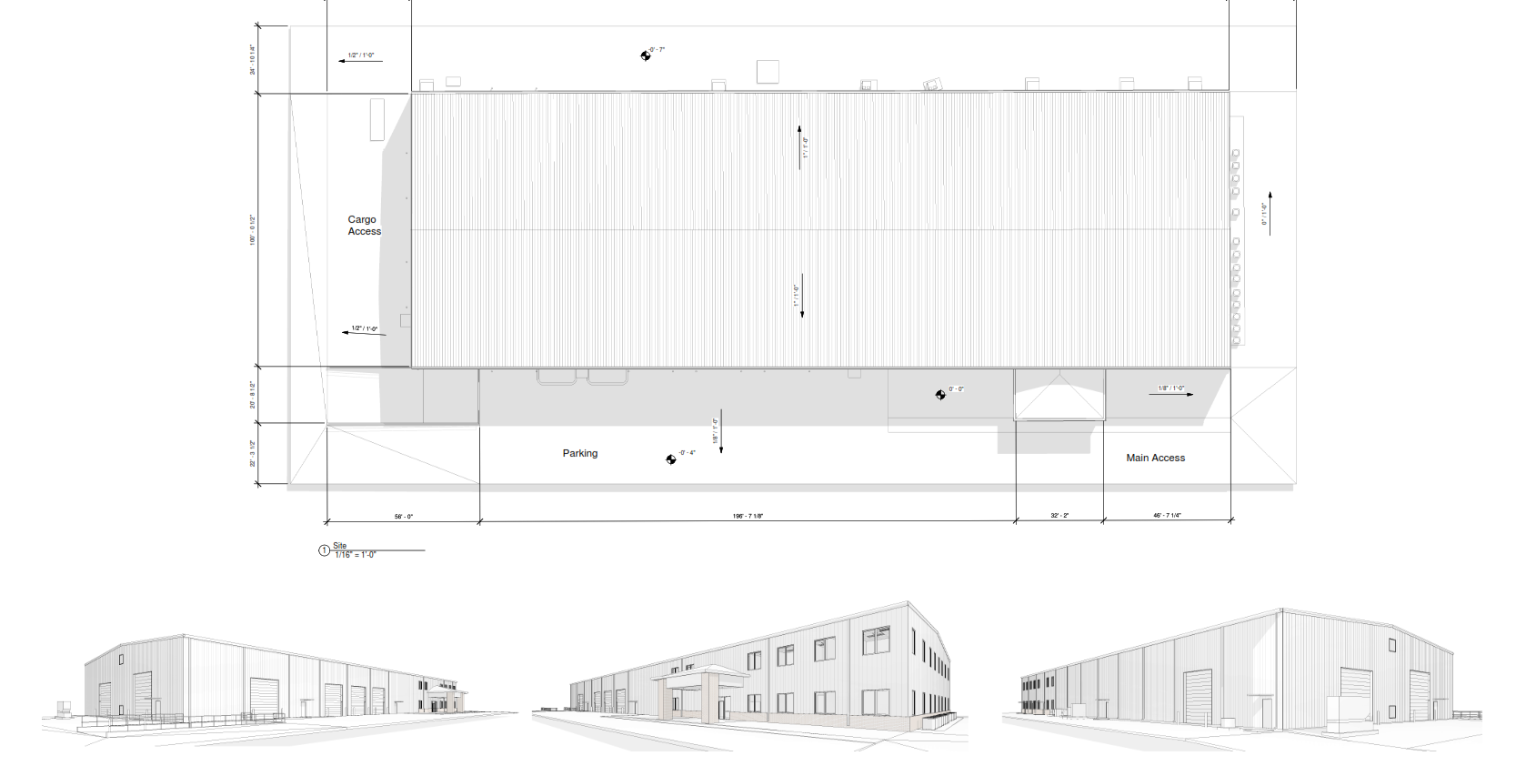
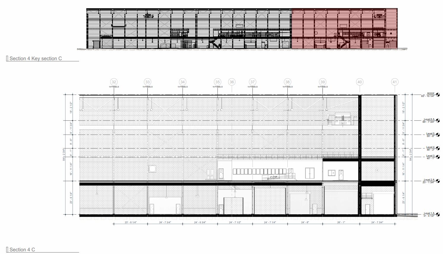
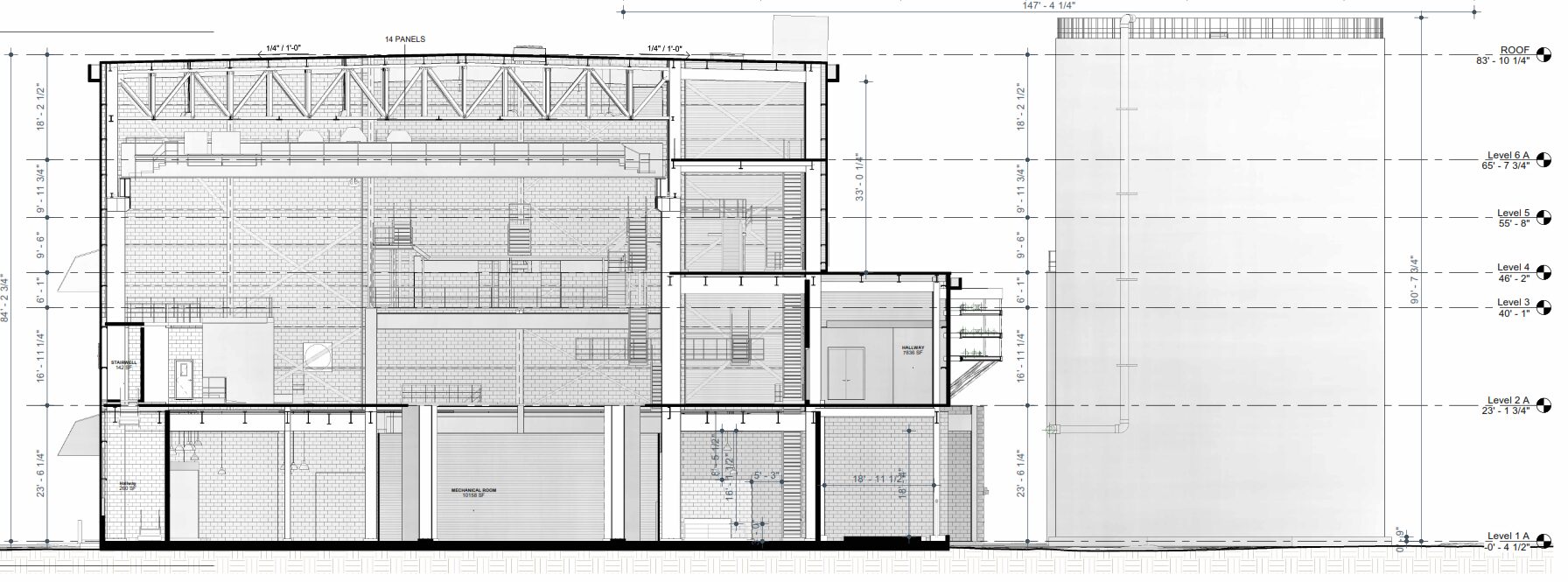
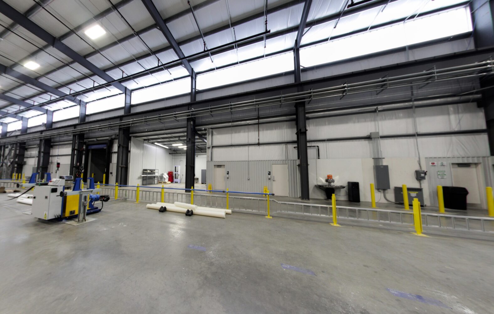
Structural and Architectural as-built drawings for industrial facilities generated from LiDAR scan data using Revit and AutoCAD
Request a Related Sample
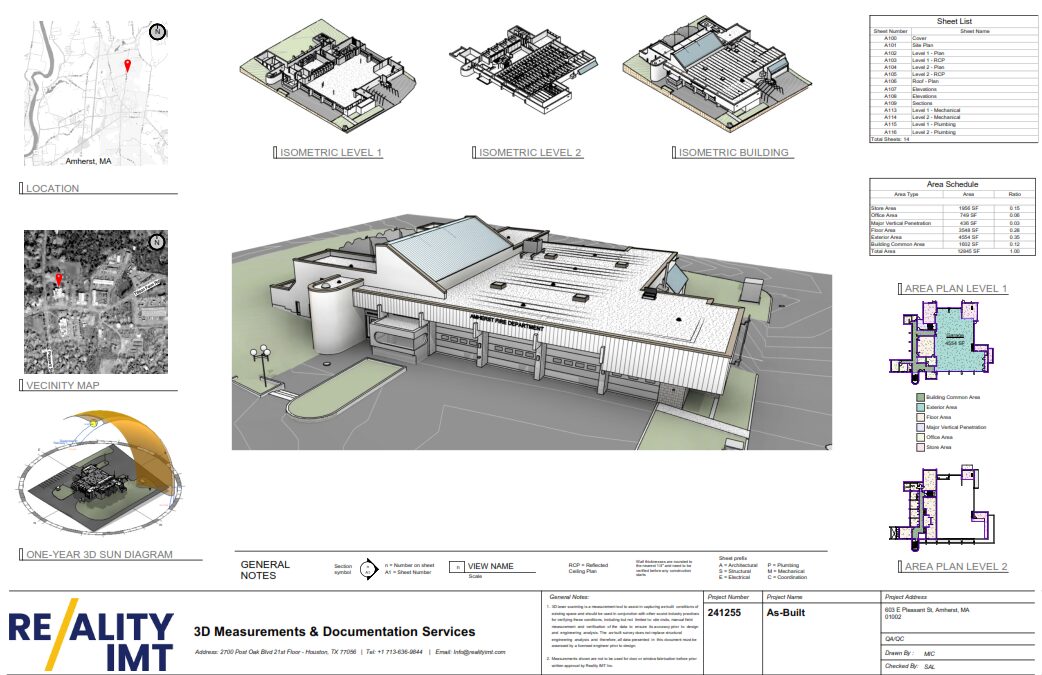
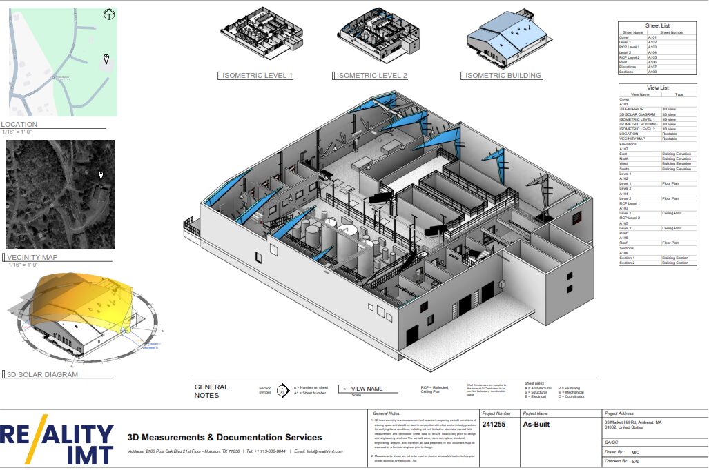
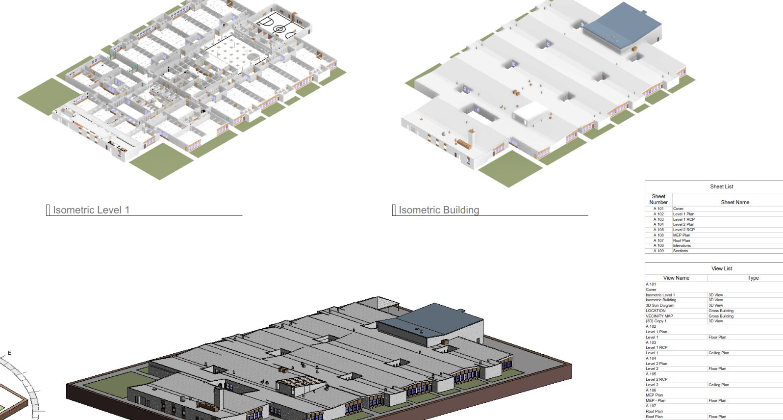
As-Built BIM
Reality Capture and Building Information Models (BIM) for large scale government facilities delivered in weeks.
Request a Related Sample
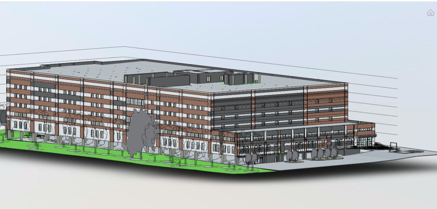
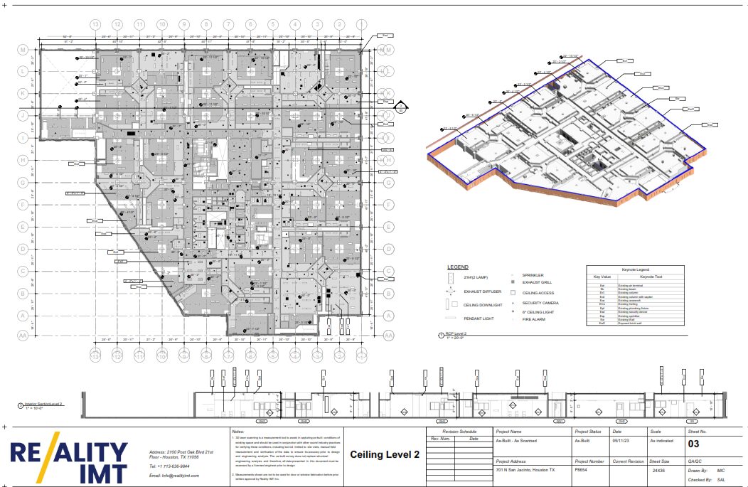
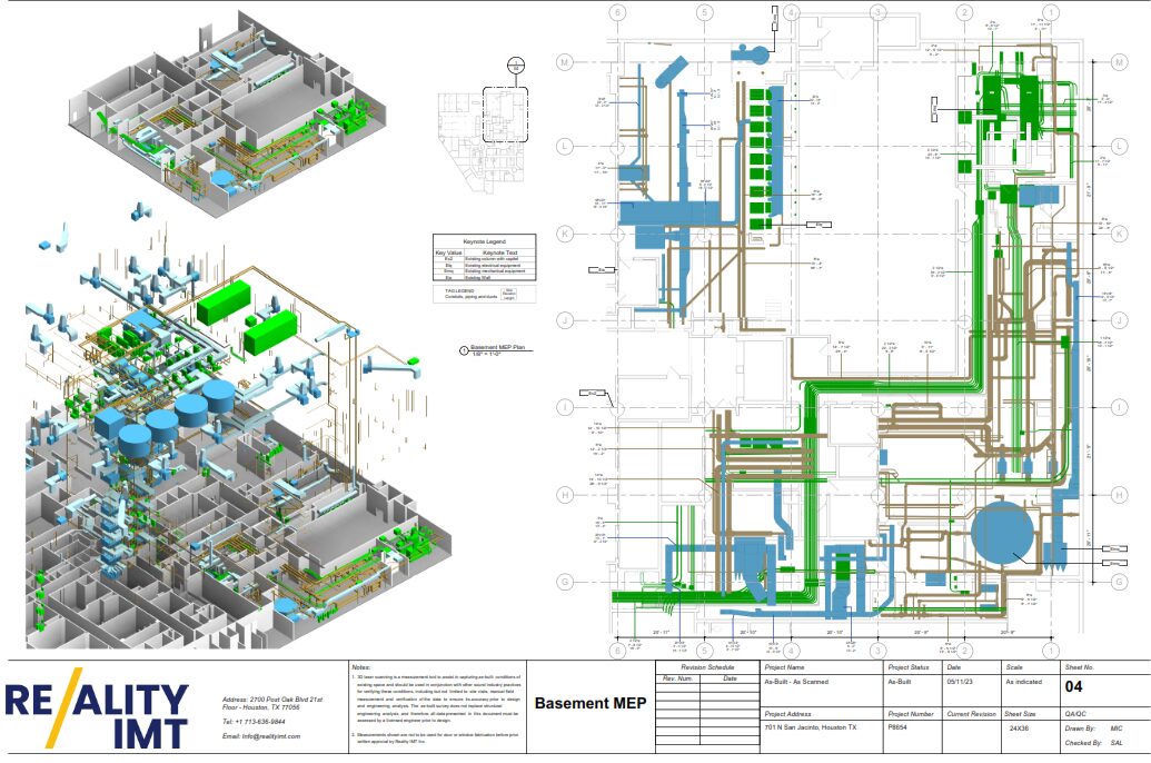
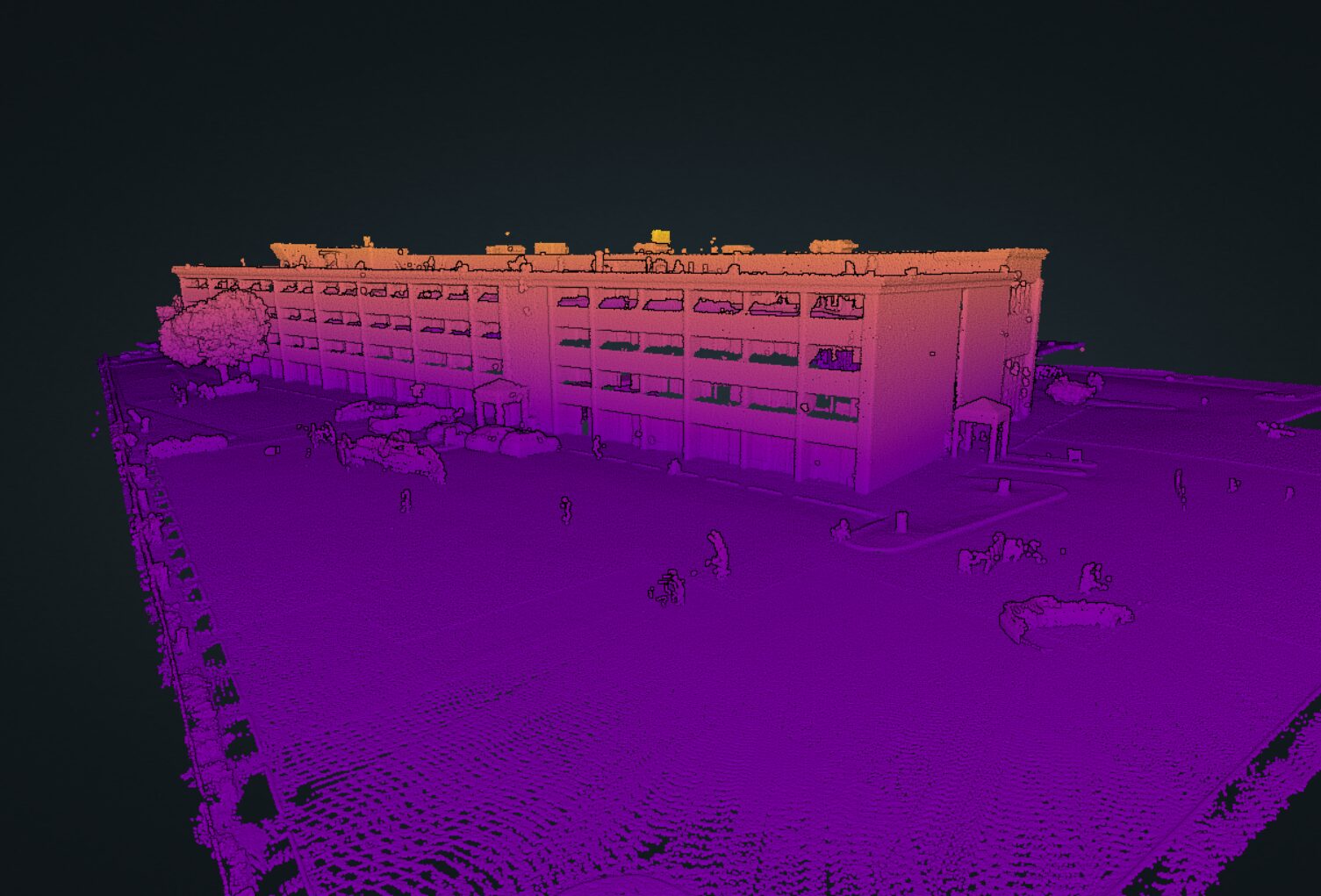
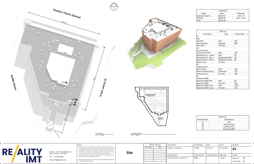
as-built Revit LOD 300 models for Architectural, structural and MEP for 3 different large scal ebuildings, CAD and PDF sheets with tags as well as area analysis
Request a Related Sample
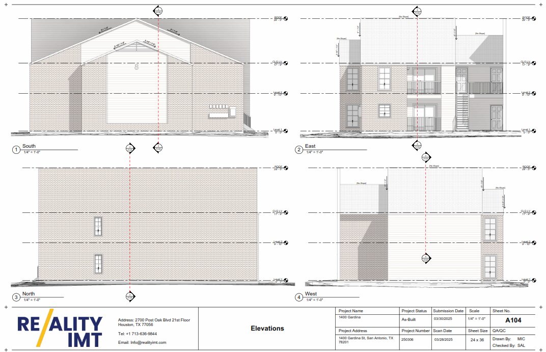
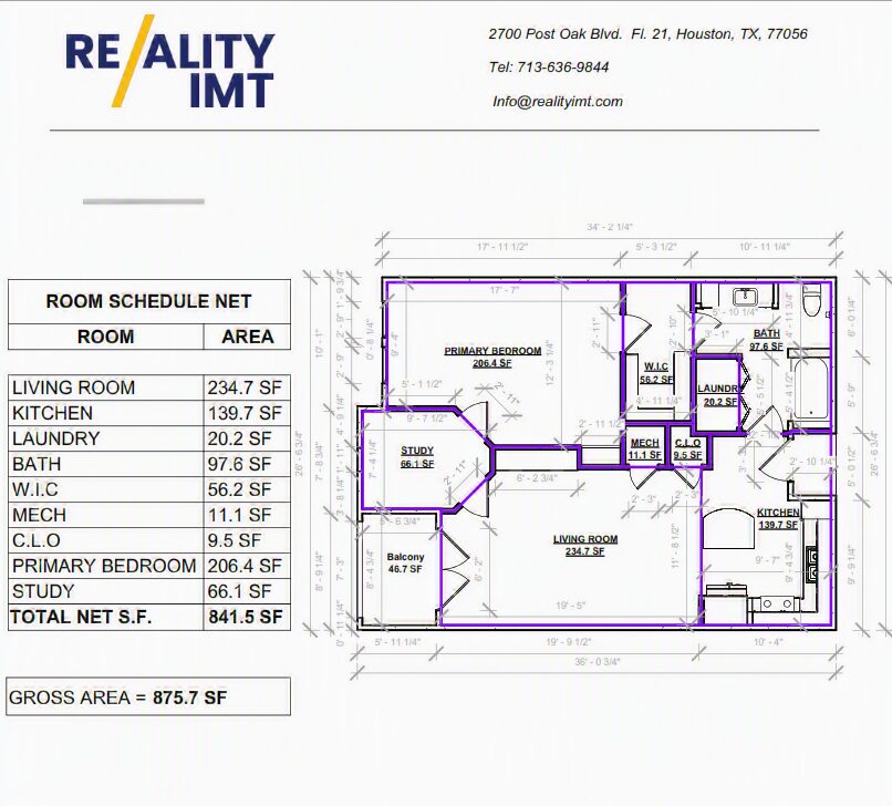
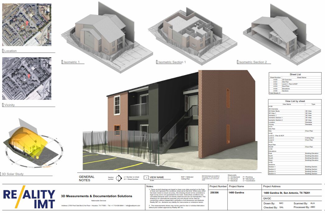
As-Built Drawings
Sample As-Built Drawings for multi-family residential showing exterior elevations, floor area calculations and a 3D model derived from Revit.
Request a Related Sample
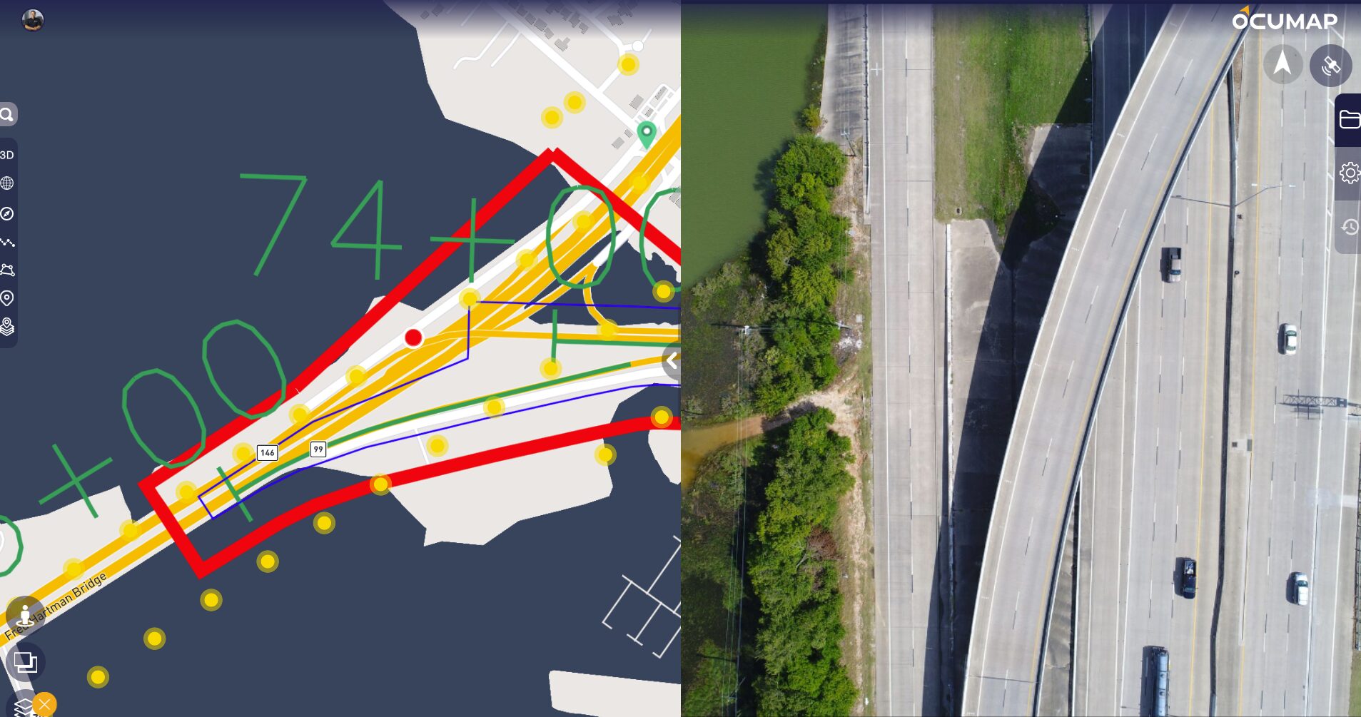
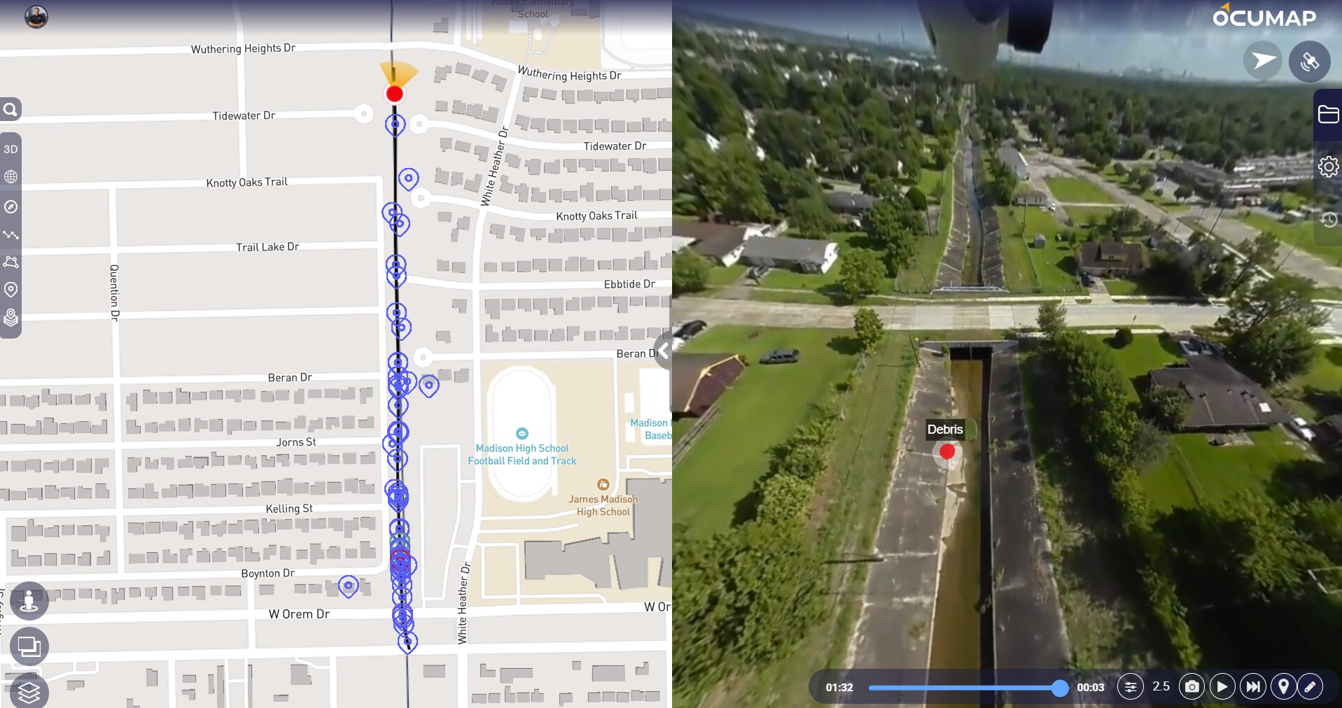
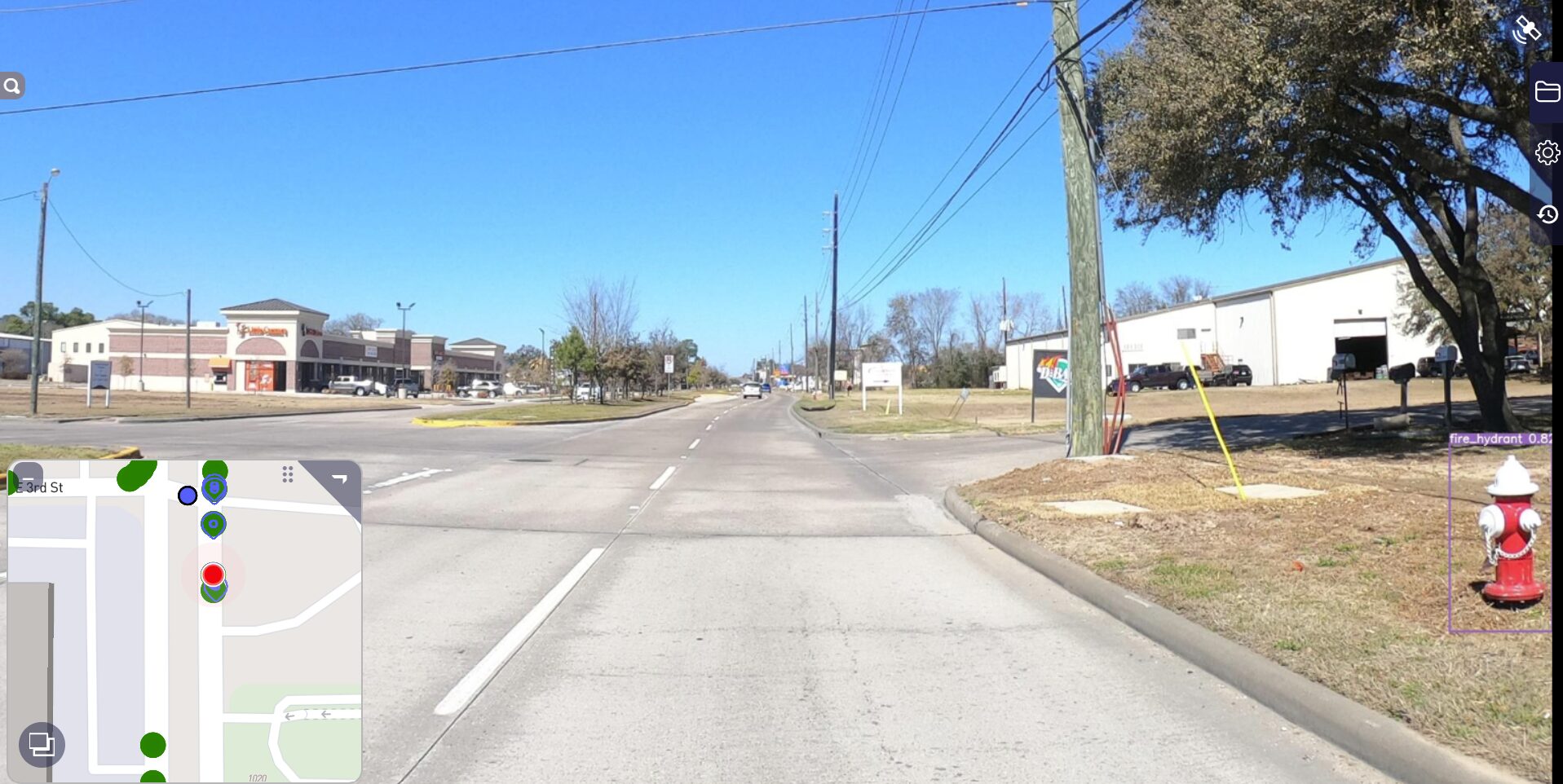
Georeferenced Video Inspection
GPS based video for corridor mapping to document infrastructure assets or inspect defects along corridors for fast condition assessment
Request a Related Sample
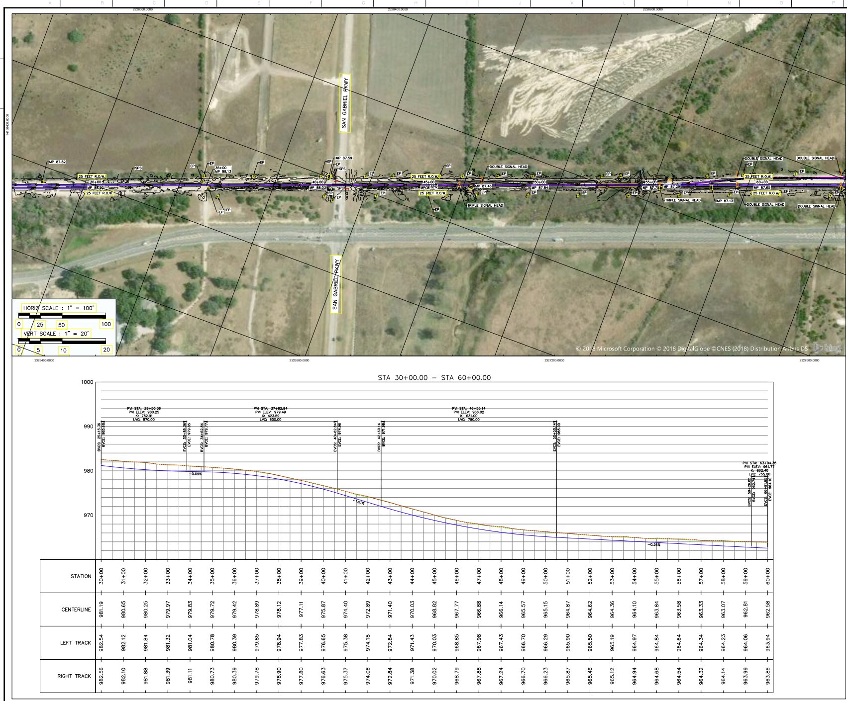
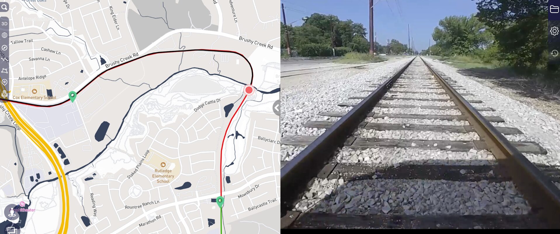
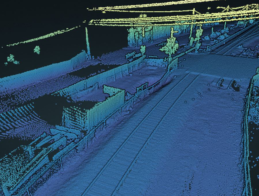
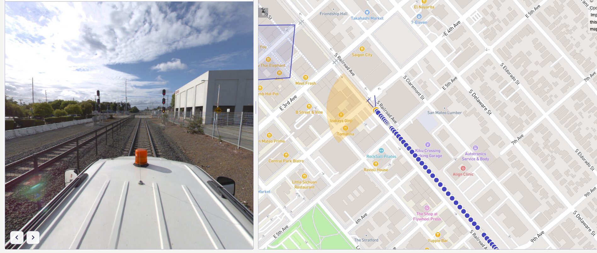
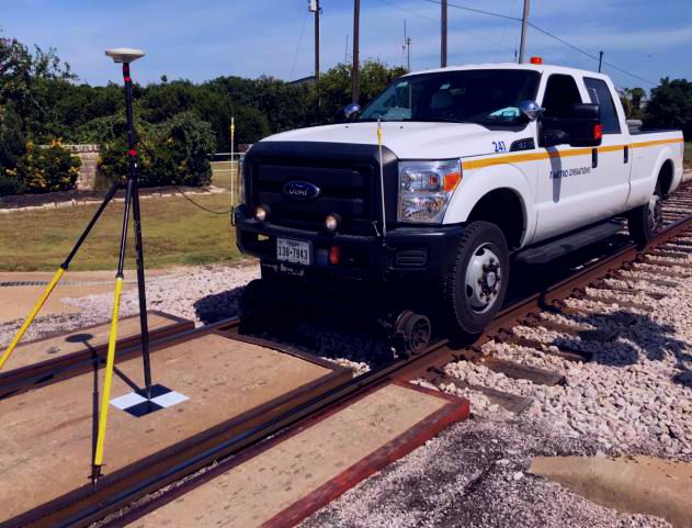
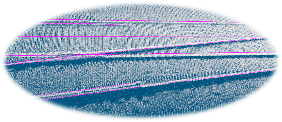
LiDAR, 3D CAD and 360 Video Log
Geo-referenced Point Cloud Data Set for the entire corridor Right of Way with panoramic, 360 degree imagery and video log taken from a hi-rail vehicle.
Request a Related Sample
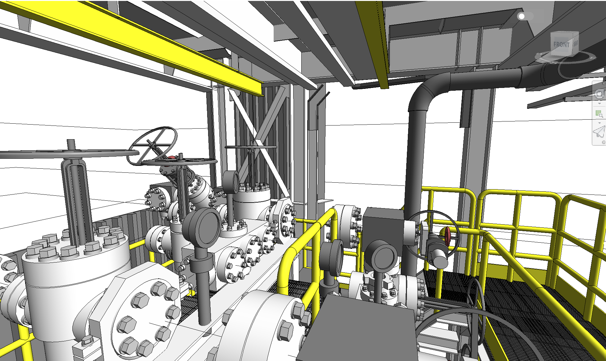
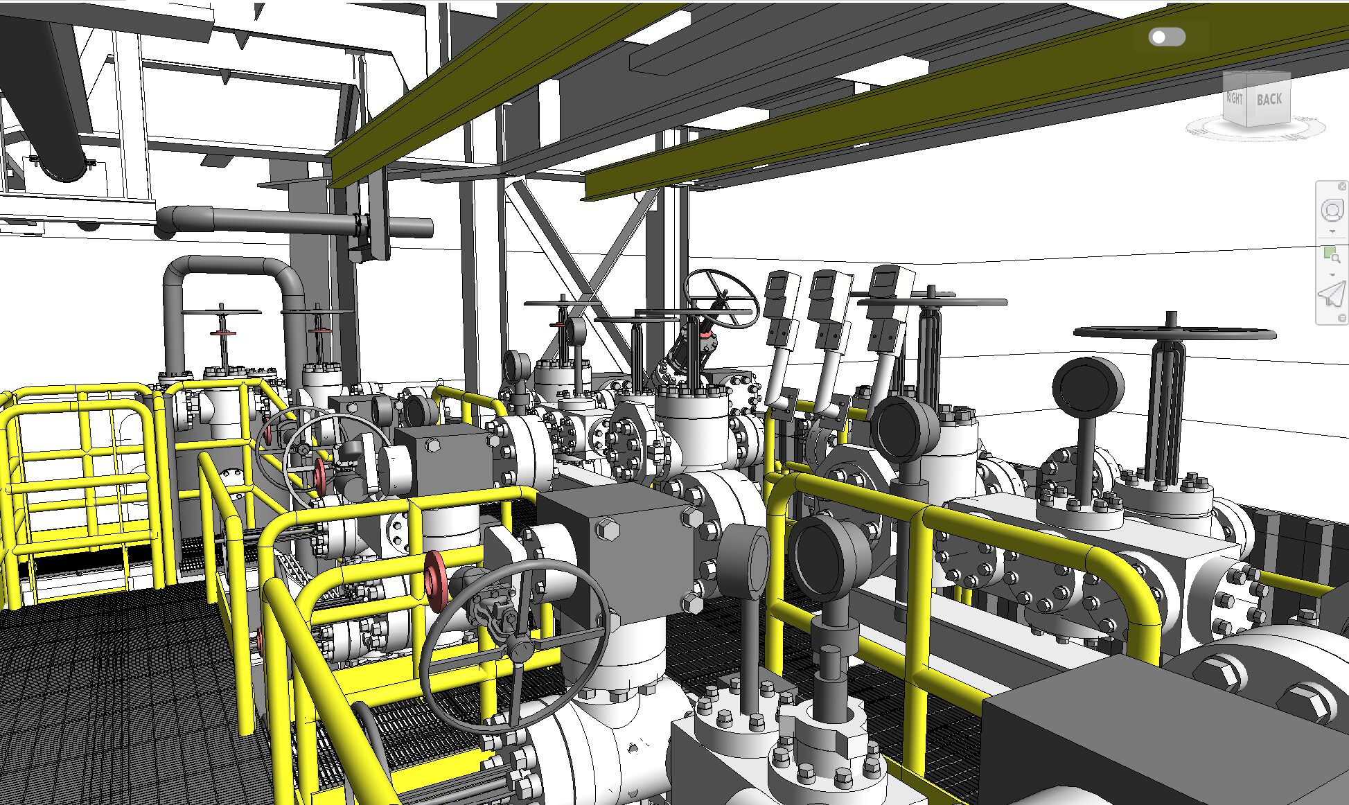
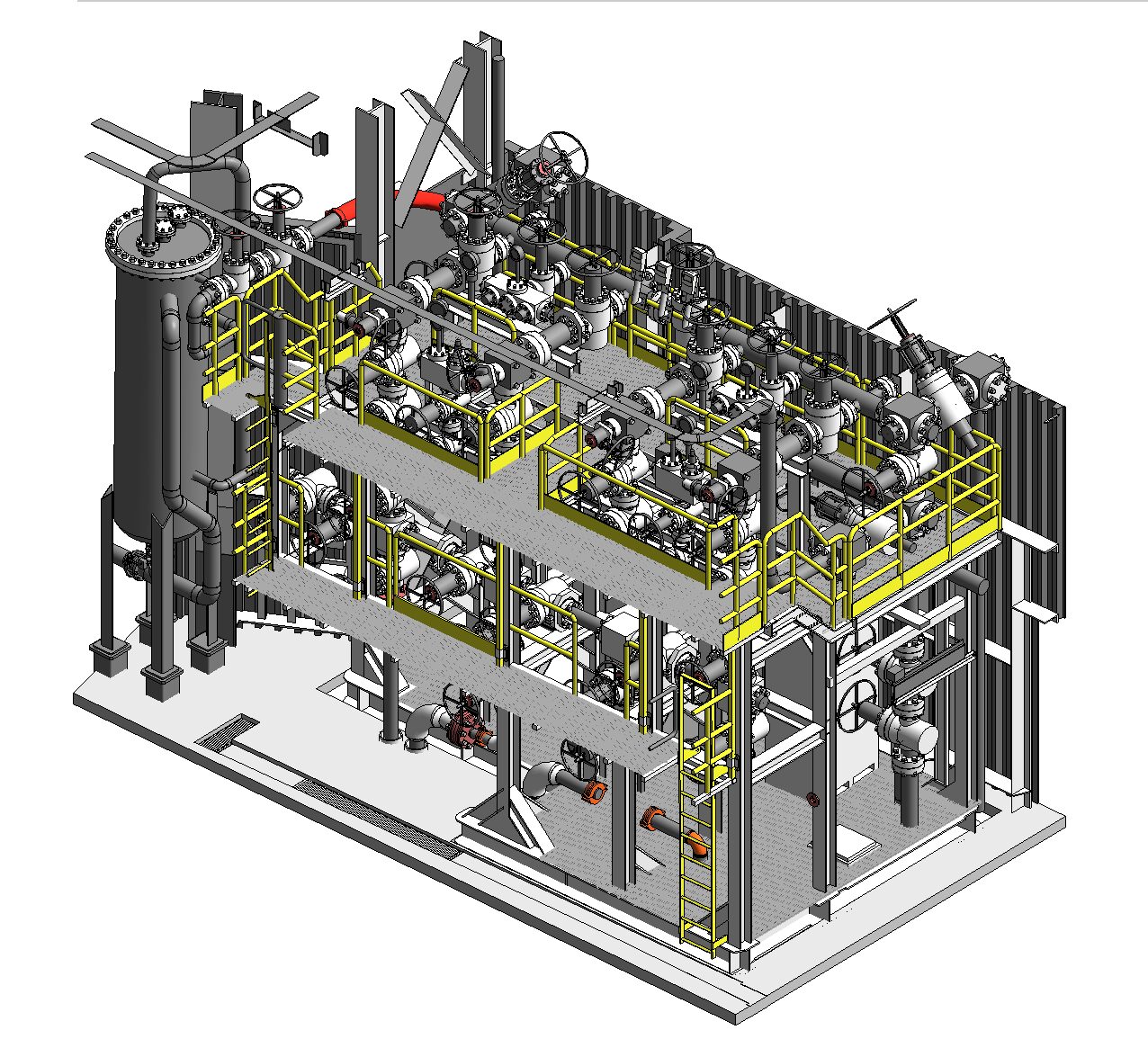
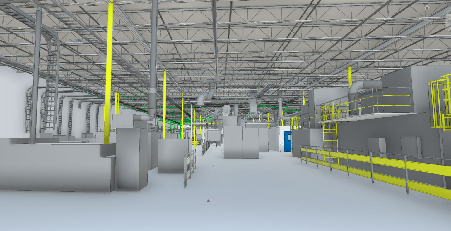
Pointcloud Scanning, As-Built Model
Sample shows Industrial pointcloud model and as-built 3d cad models generated from terrestrial 3d scanning and BIM modeling.
Request a Related Sample
Deliverables Clients Can Request
Point Clouds
Registered E57, RCP/RCS, LAS/LAZ, or project-specific point-cloud formats prepared for measurement, coordination, modeling, and documentation workflows.
Floor Plans & Building Documentation
Field-verified floor plans, reflected ceiling plans, area plans, equipment layouts, and other existing-condition documentation prepared for the intended project use.
CAD & DWG Drawings
Existing-condition drawings developed from field measurements and point-cloud data, including plans, elevations, sections, layouts, and project-specific details.
Revit & BIM Models
Project-specific existing-condition models developed to the required scope, level of detail, discipline, and software version.
Reports, Schedules & GIS Data
Existing-condition reports, asset inventories, area calculations, dimensional summaries, GIS databases, and other structured project records.
360° Imagery & Visual References
Georeferenced or project-organized imagery that provides visual context for remote review, coordination, planning, and facility reference.
How Deliverables Fit Together
1
Field Capture
Laser scanning, measurements, imagery, GPS, or other project-specific data collection.
2
Processing & Quality Review
Point-cloud registration, cleanup, control verification, classification, and internal QA/QC.
3
Documentation & Modeling
CAD drawings, floor plans, Revit models, GIS datasets, reports, and visual references.
4
Project Delivery
Files organized around the client’s software, intended use, required formats, and review process.
What Determines the Deliverable Package?
There is no single standard package for every project. Reality IMT defines deliverables around the project objective, required disciplines, accuracy, level of detail, stakeholder workflow, and final software environment.
Intended Use
Design, renovation, leasing, operations, maintenance, asset management, or infrastructure planning.
Accuracy & Detail
Required measurement accuracy, modeling scope, drawing detail, and project tolerances.
Project Complexity
Building, facility, equipment, corridor, access, safety, and operating constraints.
Software & Formats
CAD, Revit, GIS, point-cloud, report, image, and project-specific delivery requirements.
Need a Sample Relevant to Your Project?
Tell us your project type and the deliverables you are considering. We’ll share a representative sample appropriate for your scope.