Timely, Accurate & Cost Saving Results
3D Scanning Solutions
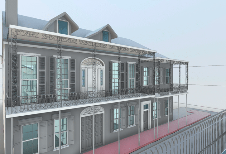
Are you an architect, engineer, or owner in need of an accurate as-built survey? Our 3D scanning and LiDAR services can quickly and accurately capture detailed measurements and dimensions of existing structures without disrupting operations. Precise 3D CAD models are then created to help project stakeholders visualize and plan design activities, schedules, and budgets. Let us help you take your project to the next level with our 3D scanning services.
Reality IMT supports multiple industries
Who We Work With
What We Do
Reality Capture Services


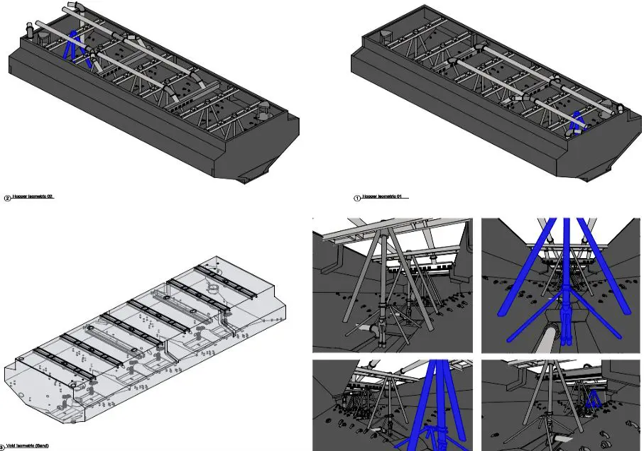
Our Work
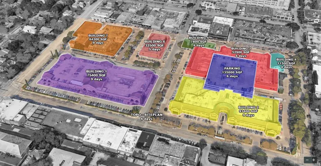
Recent Projects
Technology
3D Laser Scanning
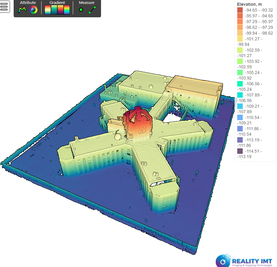
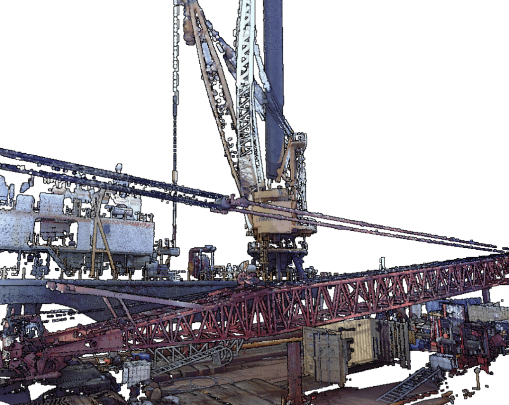
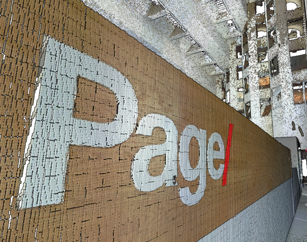
We utilize terrestrial 3D Laser Scanning devices for nationwide clients of our GIS mapping service with survey control to ensure seamless project delivery. Accuracies ranging from +/- 3 mm to +/- 1 mm. Our 3D laser scanning team follows best practices and key information needed to be successful and reduce risk when performing field surveying work. You can rely on us to safely deliver precise as-built measurements to your desktop.
360° Cameras with GPS
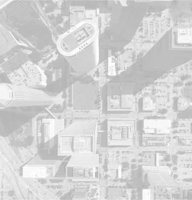
Utilizing our GIS mapping service and other technology, we map roadways using 360 Panoramic Cameras with GPS, then we use ML and Ai to locate above ground assets such as street signs, trees, traffic signals, etc. Our street level mobile imaging system is an ideal and cost effective solution to documenting and generating asset inventories. Roadway assets can be extracted from the 360° video survey with location information without disturbing traffic flow.
Mobile LiDAR
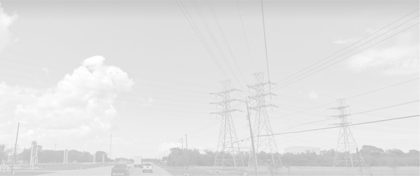
We capture LiDAR imaging nationwide from a moving vehicle at travel speed, then send you dimensions, geometry and location of all assets within the ROW. Our Angular HD Mobile Mapping System (MMS) is easy to mount and can start mapping your project in minutes. We capture geo-referenced Pointcloud data of corridors up to 300 feet in width.