Industrial 3D Laser Scanning Services
Industrial 3D Laser Scanning for Oil, Gas and Petrochemical Facilities
Reality IMT supports oil, gas, petrochemical, refining, pipeline, manufacturing, and industrial facility teams with 3D laser scanning, point clouds, CAD documentation, BIM models, and visual references for accurate existing-condition documentation.
Existing-Condition Documentation for Industrial Facilities
Industrial projects often involve congested equipment areas, piping, structural steel, utilities, limited access, and outdated drawings. Reality IMT captures existing conditions so project teams can plan retrofits, shutdown work, equipment replacement, maintenance, and capital improvement projects with better information.
Reduce Field Uncertainty
Document visible site conditions before design, fabrication, demolition, or equipment work begins.
Support Engineering Teams
Provide point clouds, CAD, BIM, and visual records that engineers and contractors can reference during planning and coordination.
Limit Repeat Site Visits
Give distributed project teams a reliable digital record of complex facility conditions.
How Reality IMT Supports Industrial Scanning Projects
Our work combines field capture, registered point cloud data, CAD/BIM production, and project-ready deliverables for EPC teams, owner-operators, engineers, contractors, and facility stakeholders.
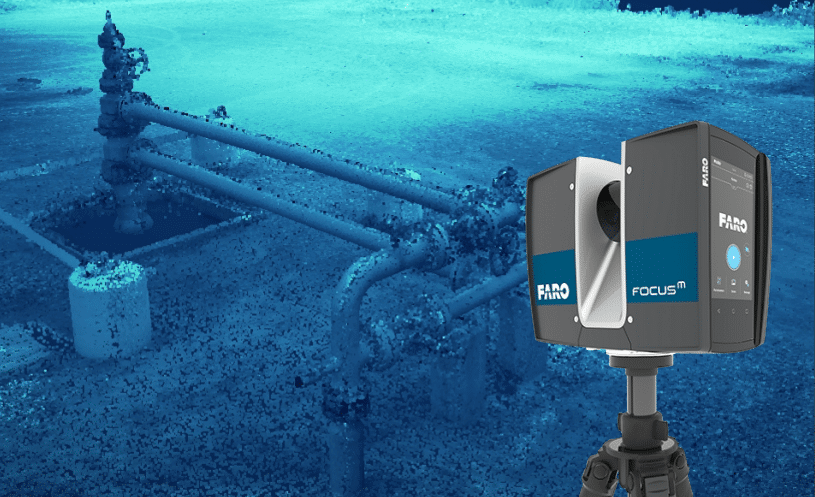
Field Capture
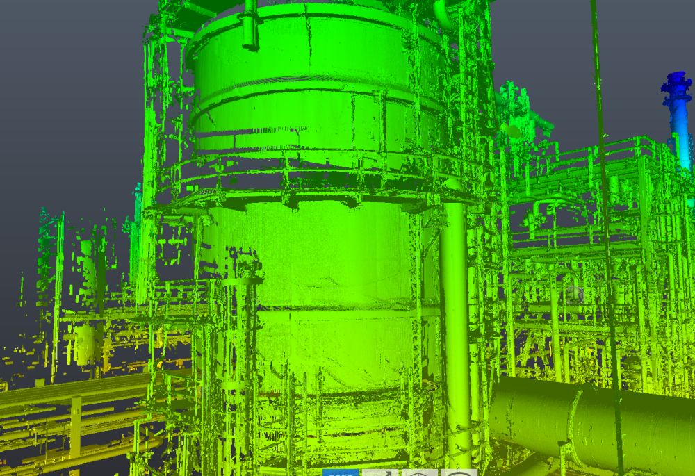
High-density terrestrial laser scanning and supporting panoramic imagery capture piping, equipment, structural elements, platforms, access areas, and surrounding facility conditions with measurable 3D data.
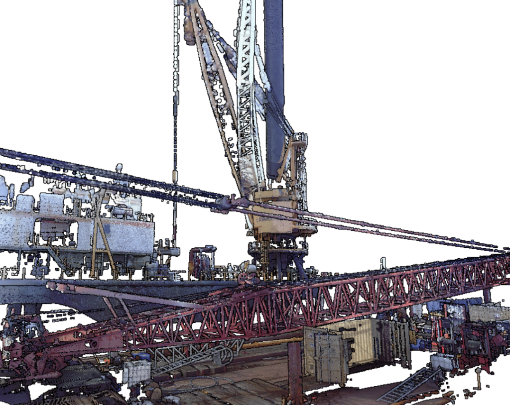
Point Cloud Processing
Registered point clouds prepared for review, measurement, modeling, coordination, and downstream documentation.
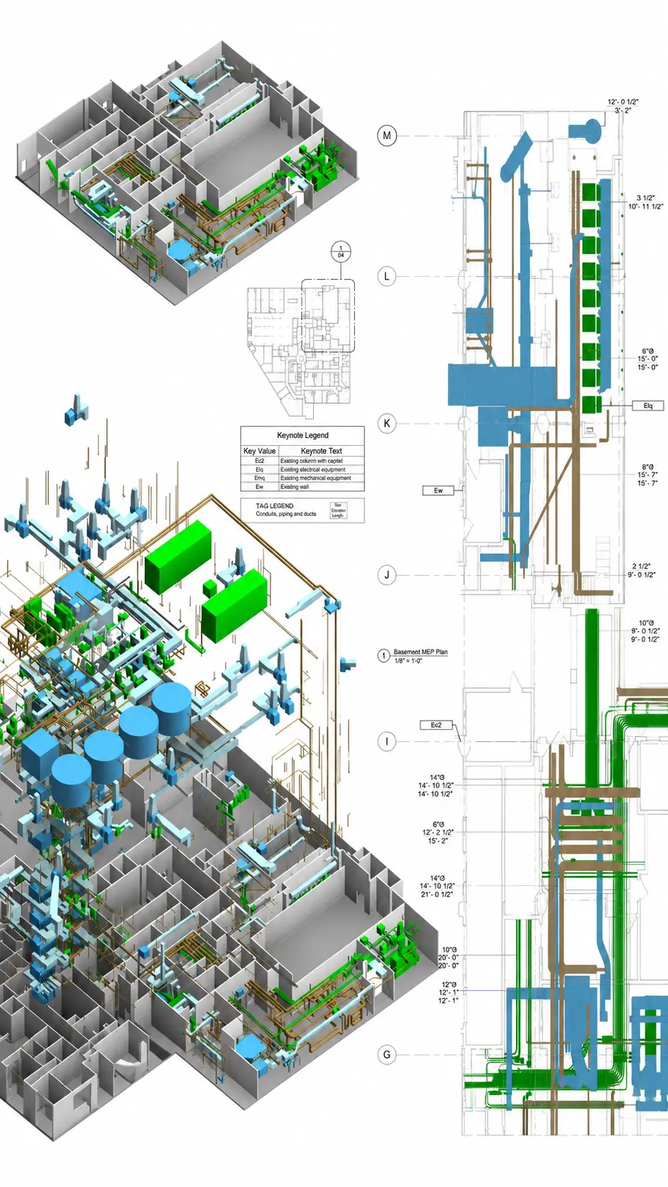
CAD, BIM & Reports
Project teams can use point cloud views, screenshots, PDFs, model files, and 360 visual references to reduce return visits, support remote review, and coordinate decisions with engineers, owners, contractors, and vendors.
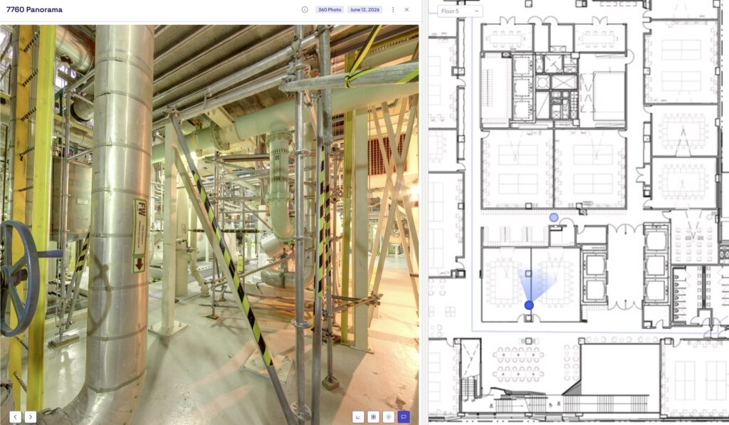
Stakeholder Sharing
Project teams can use point cloud views, screenshots, PDFs, model files, and 360 visual references to reduce return visits, support remote review, and coordinate decisions with engineers, owners, contractors, and vendors.
Common Industrial Project Types
This service is best suited for existing industrial facilities where accurate field data is needed before design, maintenance, fabrication, installation, or facility upgrades.
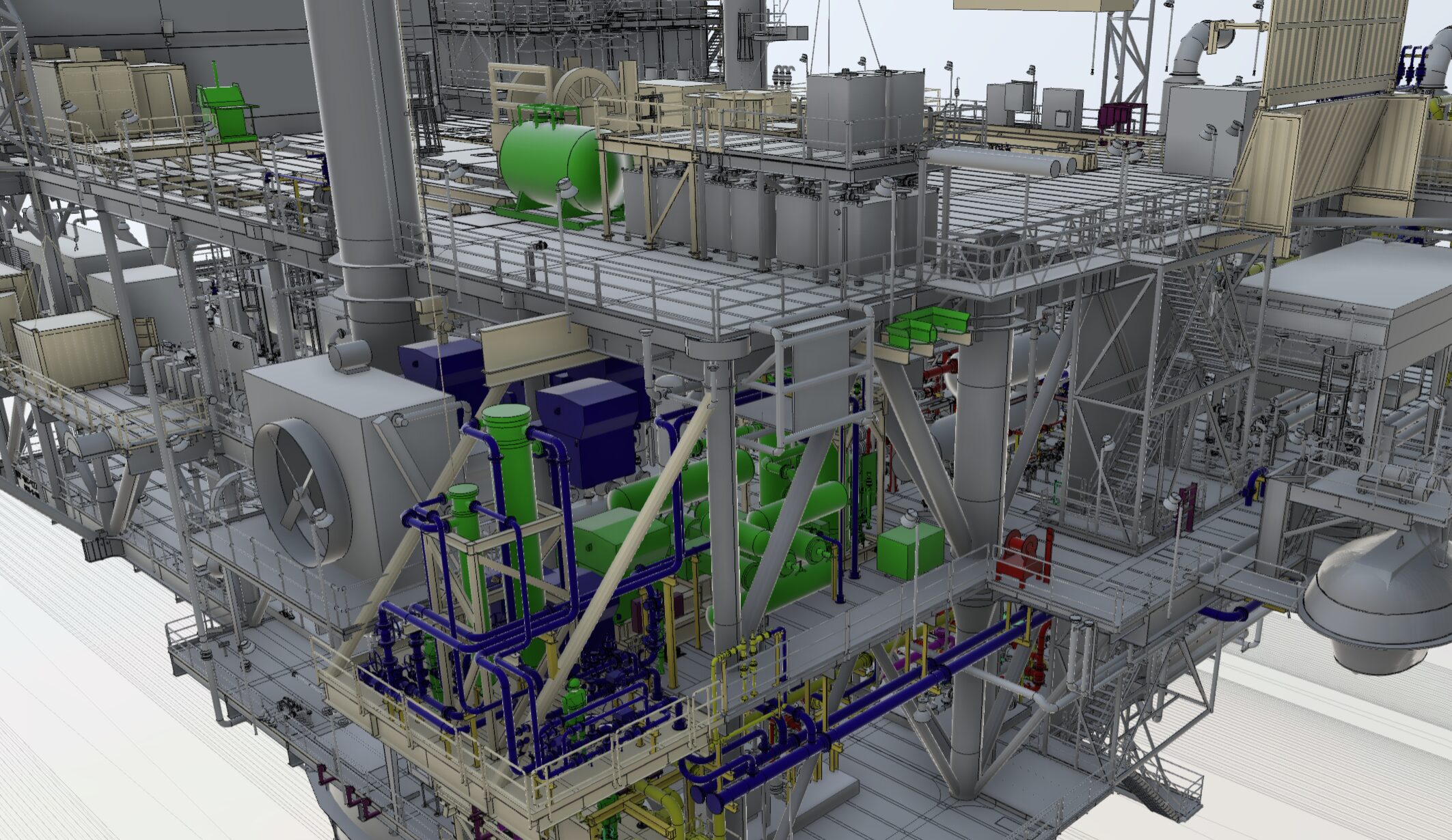
Facility Revamps & Retrofits
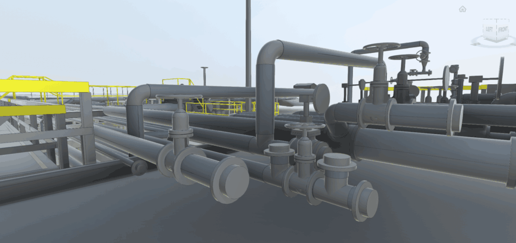
Document current field conditions before modifying piping, valves, vessels, equipment, platforms, access areas, and surrounding structural conditions.
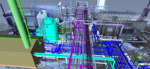
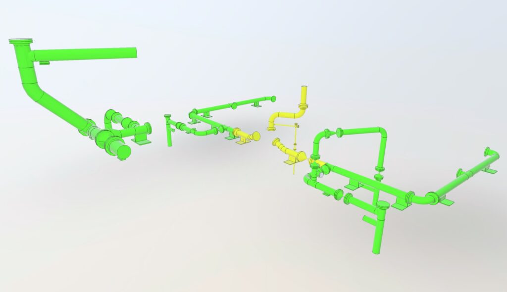
Pipeline, Piping & Equipment Updates
Capture accurate geometry and spatial relationships to support pipe routing, equipment replacement, tie-ins, fabrication planning, and coordination with existing assets.
Turnaround, Maintenance & Compliance Support
Use updated field data, visual references, and measurement-ready point clouds to plan maintenance work, reduce unnecessary visits, and support safer project review.
Recommended Services
Oil and gas projects often require a combination of scanning, CAD, BIM, and deliverable production. The final scope depends on the facility type, access, required accuracy, and intended use of the data.
3D Laser Scanning
Field capture and point cloud generation for accurate existing-condition measurement and facility reference.
As-Built Drawings & CAD
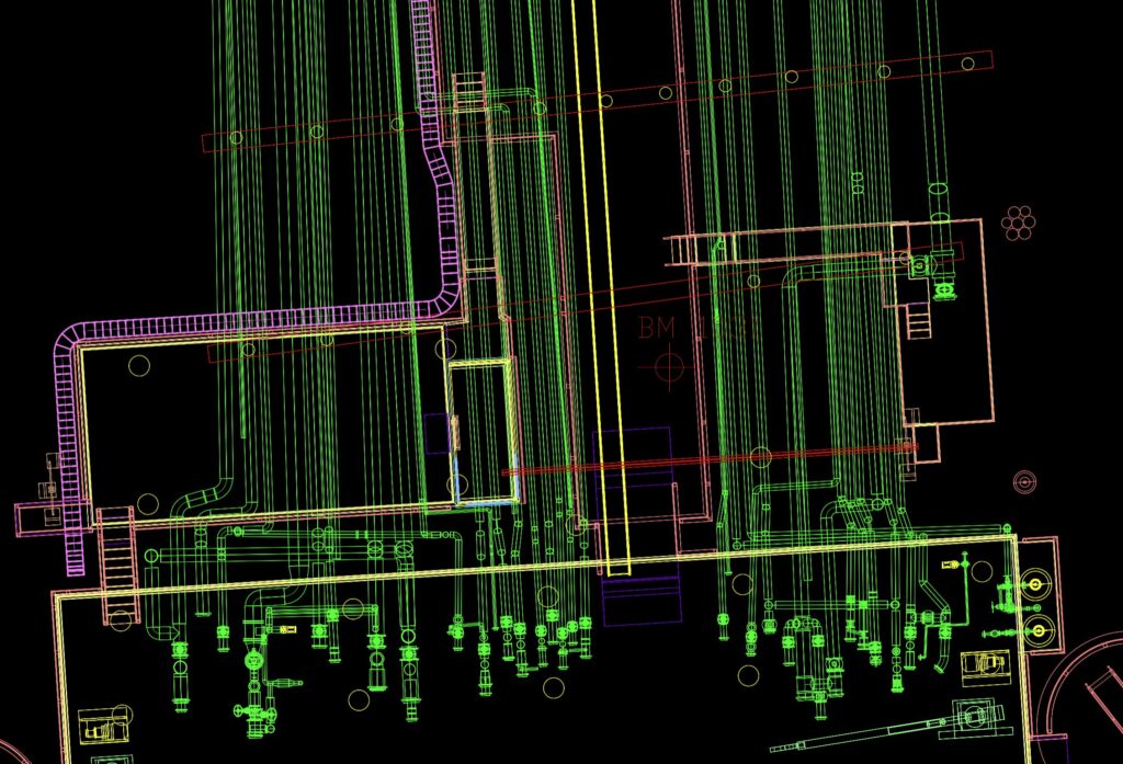
2D CAD/DWG documentation, plans, sections, equipment layouts, and drafting support based on field-verified conditions.
Scan to BIM / Plant3D Modeling
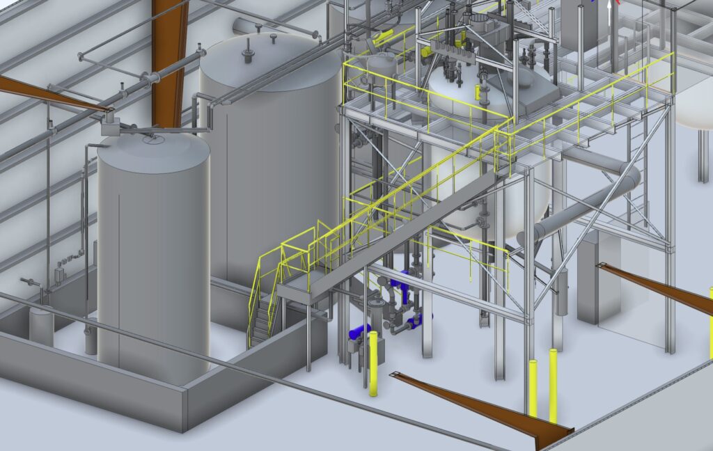
Modeling support for facilities, structures, equipment, and coordination workflows where BIM or 3D model deliverables are needed.
Industrial 3D CAD Models
3D CAD models can support planning, layout review, clash identification, fabrication coordination, and digital facility documentation.
Digital Facility Documentation
Supporting files may include reports, image references, asset documentation, updated drawings, and visual documentation to help project teams understand existing conditions remotely.
Industrial Scanning Deliverables
Deliverables are tailored to each project and can range from raw scan data to CAD, BIM, reporting, and visual documentation packages.
Point Cloud
- Registered point clouds
- E57 / RCP / LAS exports
- Visual measurement reference
- Field condition records
CAD / DWG Drawings
- 2D CAD drawings
- Equipment layouts
- Structural references
- Visible piping / utility documentation where scoped
Plant 3D / BIM Model
- Revit or 3D model support
- Existing-condition models
- Coordination models
- Scan-to-model workflows
3D CAD / Isometrics
- As-Built Pipe
- Equipment geometry
- Structural elements
- CAESAR II Pipe Stress Analysis
360 Visual References
- Existing-condition reports
- 360 visual references
- Marked-up documentation
- Project summaries
Our Process
A controlled workflow helps define the scope early, manage safety and access requirements, and produce deliverables that match how the data will be used.
Gather Project Information
We review the project location, facility type, point of contact, access requirements, area of interest, schedule, and intended use of the data.
Define Scope of Work and Deliverables
The scope is aligned around what needs to be captured, required accuracy, required file formats, CAD/BIM level of detail, and final delivery expectations.
Review Safety, Access, and Field Constraints
Oil and gas projects may require site-specific safety coordination, PPE, escorts, access planning, controlled work areas, and clear field procedures before mobilization.
Field Scanning and Documentation
Reality IMT captures laser scan data and supporting imagery based on the approved scope and site access conditions.
Registration, QA/QC, and Deliverable Production
Point clouds are registered and reviewed before CAD drawings, BIM models, 3D CAD models, reports, or other deliverables are produced.
Final Delivery
Final files are delivered digitally for engineering, planning, maintenance, construction coordination, and stakeholder review.
Related Projects
Insert related projects/case studies loop filtered by industrial, oil and gas, petrochemical, facility documentation, 3D laser scanning, and as-built modeling work.
4 Jul 2026
Industrial 3D Laser Scanning in Austin for Mechanical Equipment Replacement
Reality IMT performed targeted, high-resolution 3D laser scanning of critical mechanical infrastructure at an active…
11 Apr 2025
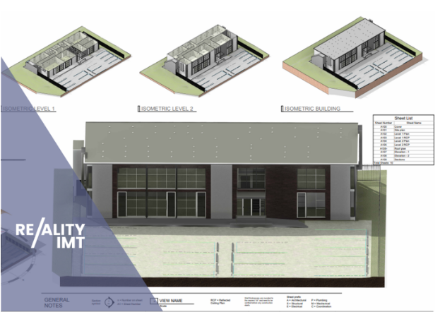
Office Building Measurement & Leasing Documentation
Case Study In the high-stakes world of commercial real estate in Houston, a few inches…
5 Mar 2020
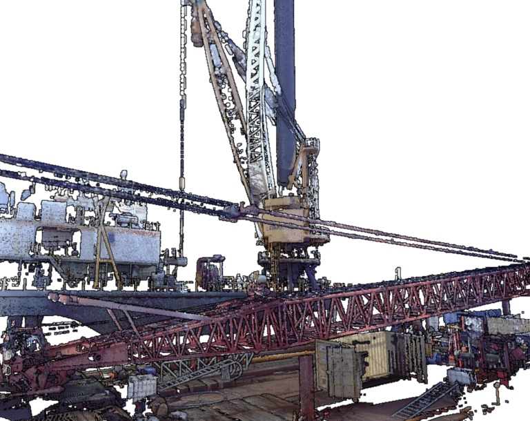
Drilling Rig 3D Laser Scan
When digitizing a drilling rig with 3D laser scan, a point cloud is generated as…
Serving Industrial & Manufacturing Clients
For buyer-specific content across manufacturing, energy, petrochemical, logistics, and heavy industrial environments, review the Industrial & Manufacturing industry page.