Nationwide Service | Houston Headquarters
RAIL & TRANSIT INFRASTRUCTURE DOCUMENTATION
Rail & Transit Asset Documentation, Existing-Condition Data and Infrastructure Mapping
Reality IMT supports rail operators, transit agencies, engineering consultants, and transportation infrastructure owners nationwide with coordinated existing-condition documentation for planning, maintenance, modernization, asset management, and capital improvement programs.
The Rail & Transit Documentation Problem
Outdated records, incomplete asset inventories, inaccessible locations, and fragmented documentation increase engineering risk and slow maintenance and capital programs.
Reduce Corridor Uncertainty
Create coordinated records covering track assets, crossings, signals, utilities, stations, platforms, and surrounding infrastructure.
Support Long-Term Infrastructure Planning
Provide reliable geospatial, CAD, LiDAR, visual, and existing-condition documentation for modernization and asset management.
How Reality IMT Supports Rail & Transit Organizations
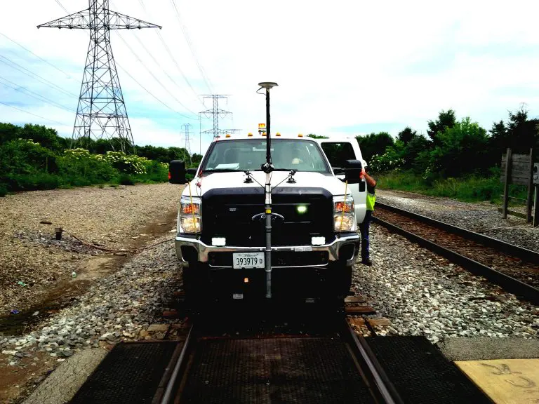
Mobile LiDAR Data Collection
Capture extensive corridor information using Hi-Rail or vehicle-based LiDAR systems.
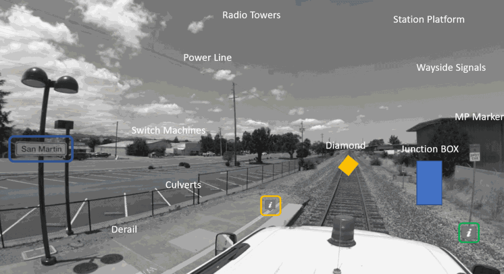
Rail Asset Mapping & Documentation
Create inventories of track assets, signals, crossings, utilities, drainage, platforms, and supporting infrastructure.
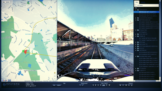
Engineering, GIS & Asset Management Integration
Deliver datasets compatible with GIS, CAD, Civil 3D, engineering, and asset-management platforms.
Common Rail & Transit Project Types
Rail Corridor Asset Inventory
Documentation of railway assets throughout the right-of-way for operations and capital planning.
Rail Corridor Geometry & Existing-Condition Assessment
Data supporting maintenance planning, modernization, engineering review, and operations.
Transit Infrastructure Documentation
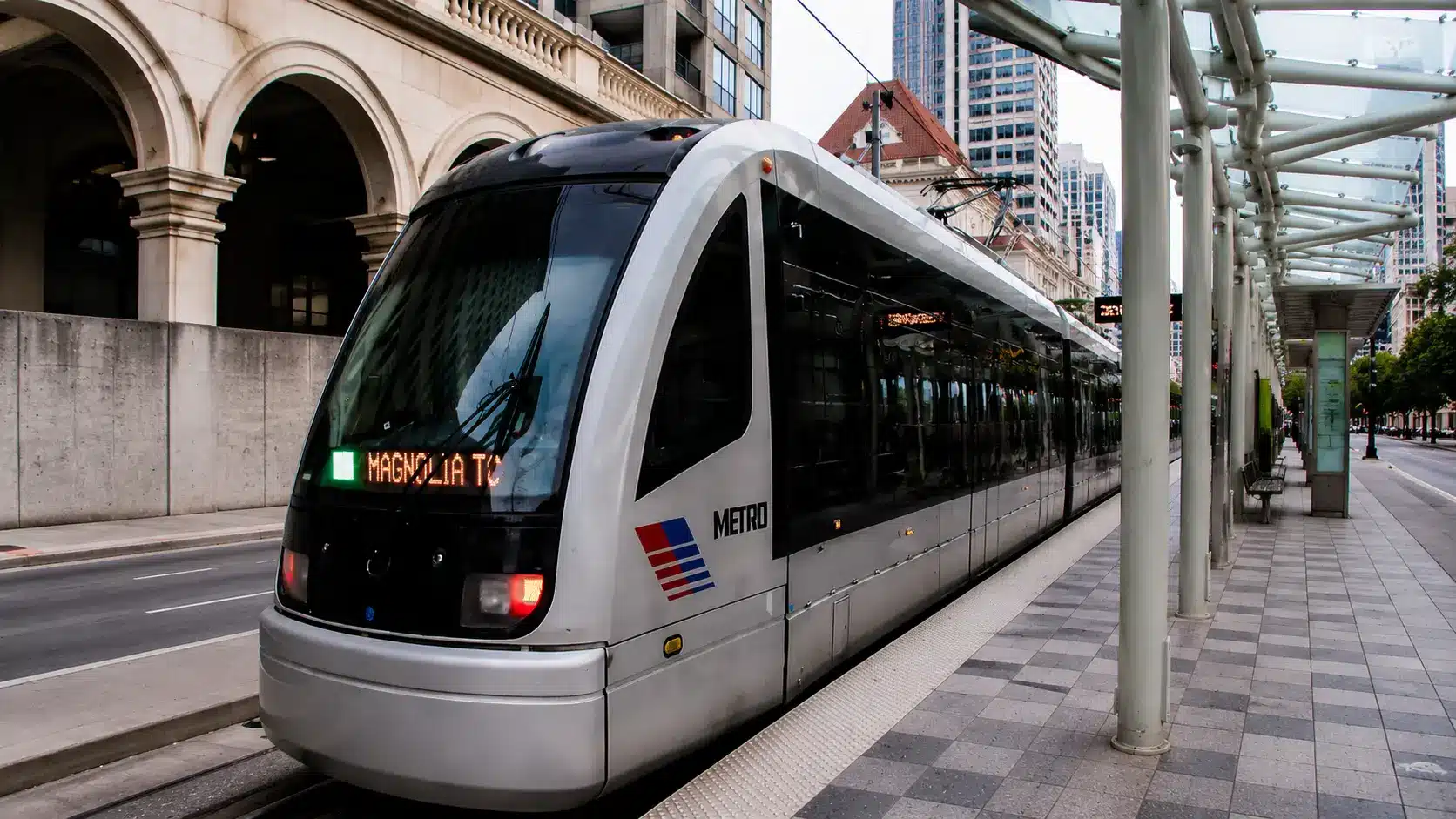
Mapping stations, platforms, crossings, signals, bridges, facilities, and supporting infrastructure.
Recommended Services for Rail & Transit Projects
Rail Mapping
Hi-Rail LiDAR, asset inventory, track geometry, GIS datasets, and corridor documentation.
3D Laser Scanning
Scanning for stations, bridges, platforms, structures, and facilities.
Infrastructure & Corridor Mapping
Geospatial documentation for transportation corridors and rights-of-way.
As-Built Drawings & CAD
Existing-condition CAD documentation for engineering and modernization.
Relevant Rail & Transit Deliverables
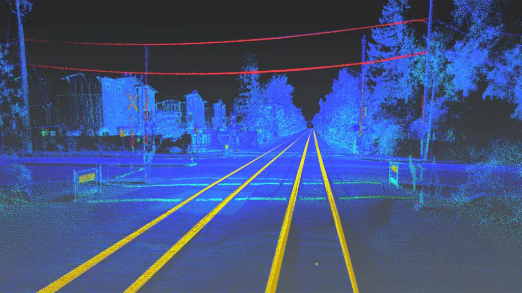
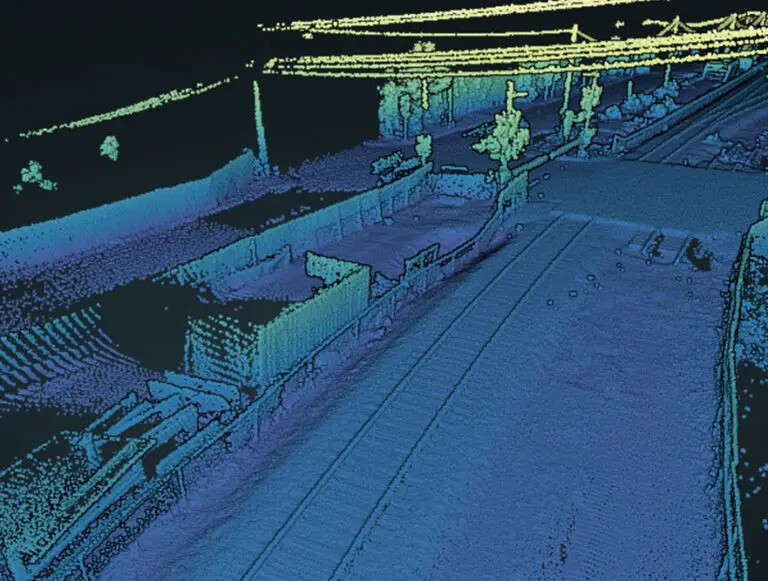
LiDAR Point Clouds & Rail Corridor Geometry Data
Registered corridor point clouds and geometry data representing railway infrastructure.
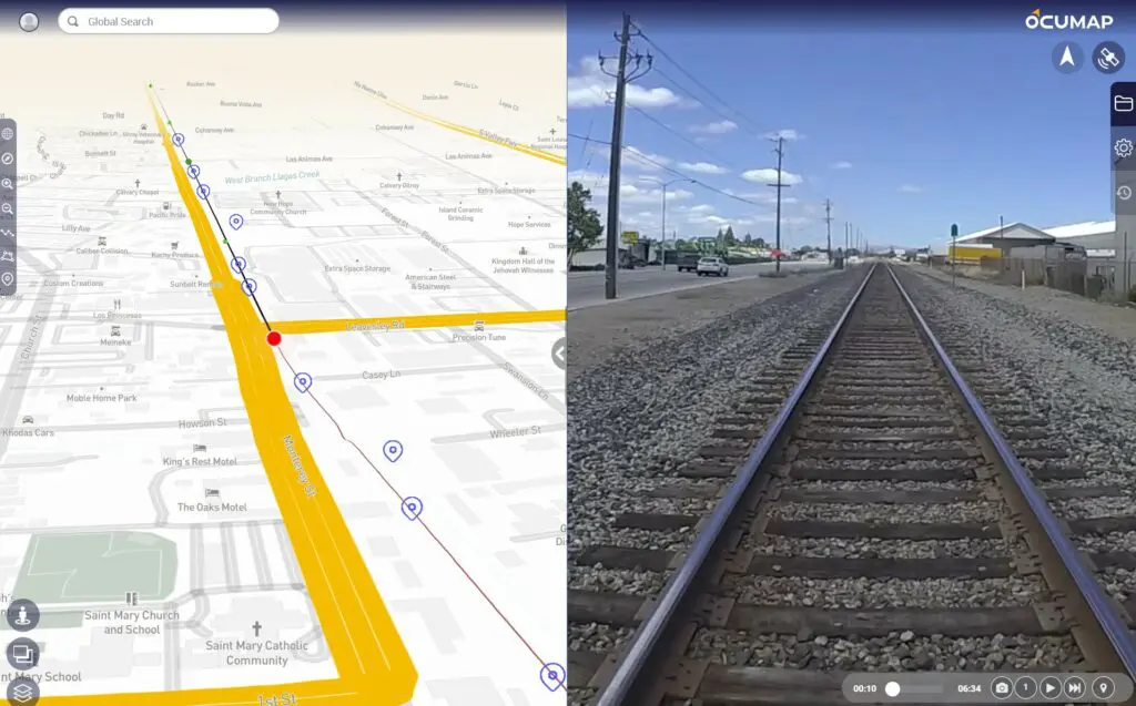
GIS Asset Databases
Structured datasets containing rail assets, crossings, signals, poles, utilities, and corridor features.
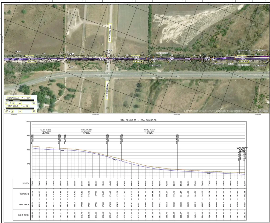
CAD, Reports & 360 Corridor Documentation
CAD or Civil 3D documentation, reports, asset summaries, and imagery for engineering review.
Related Rail & Transit Project
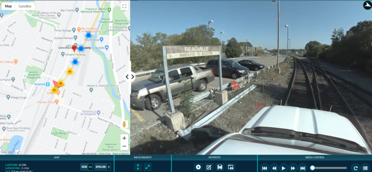
Representative projects demonstrating rail corridor mapping, mobile LiDAR collection, transportation infrastructure documentation, and asset inventory services.
11 Jul 2026
Rail Right-of-Way Imaging for Fiber and PTC Planning
Reality IMT supported a rail-construction team planning fiber-optic installation and Positive Train Control work across…
8 Jul 2026
40-Mile Commuter-Rail Corridor Documented with LiDAR and 360 Imagery
Reality IMT supported a commuter-rail documentation program covering approximately 40 miles of active right-of-way. The…
17 Jun 2018
Rail Survey-LiDAR
Lidar Rail Survey Vehicle Based LiDAR Rail Survey& 360 goevideo Photogrammetry has proven to be…
Need Rail & Transit Documentation Services?
Tell us the corridor location, mileage, infrastructure type, access requirements, required assets, and preferred deliverables.