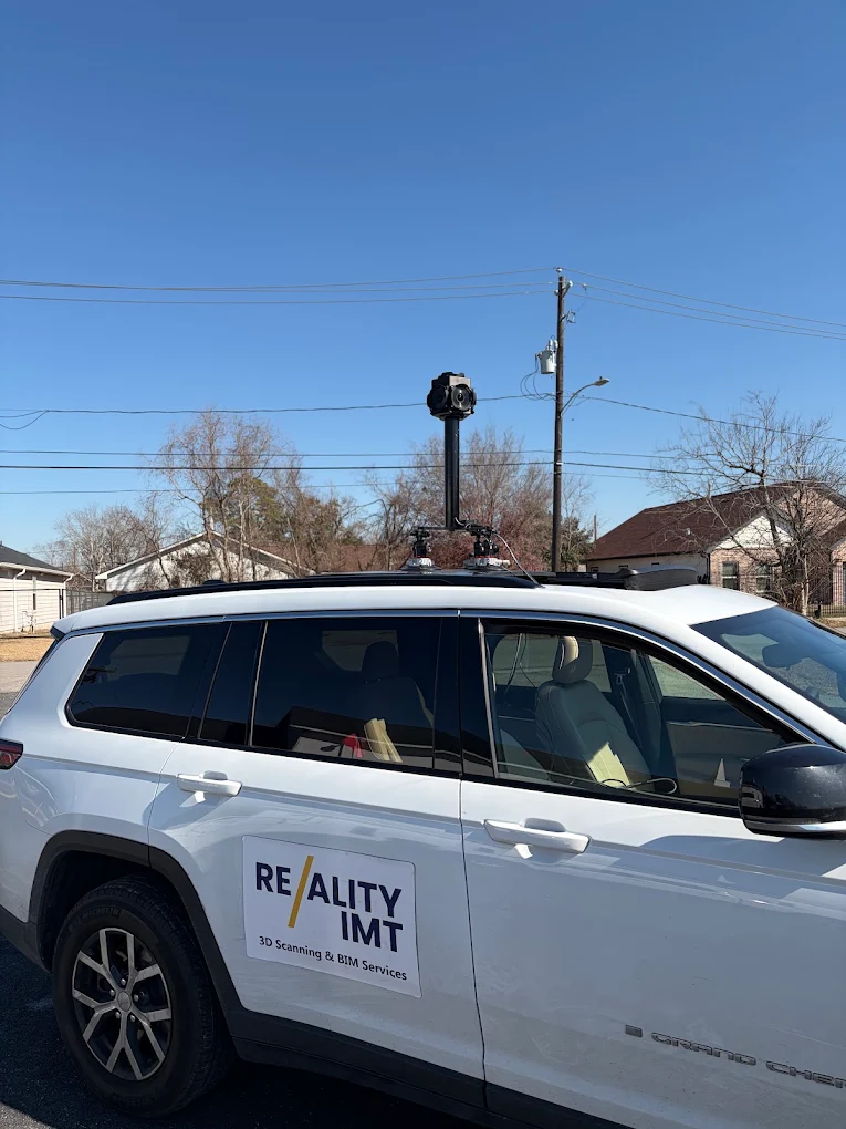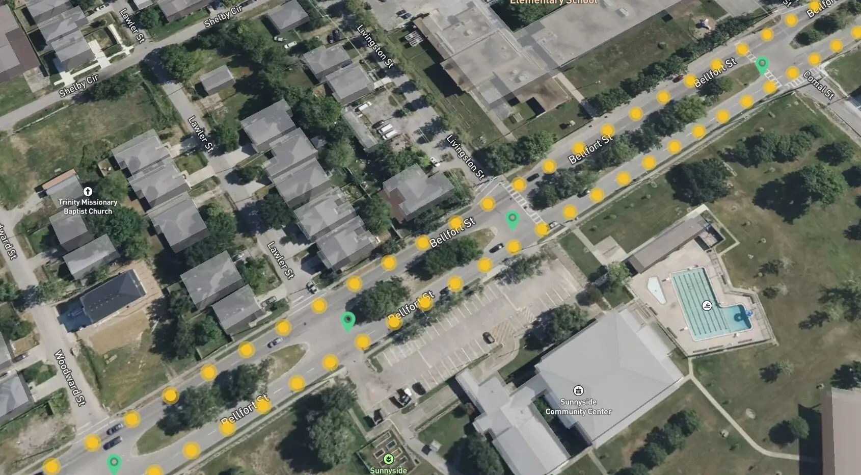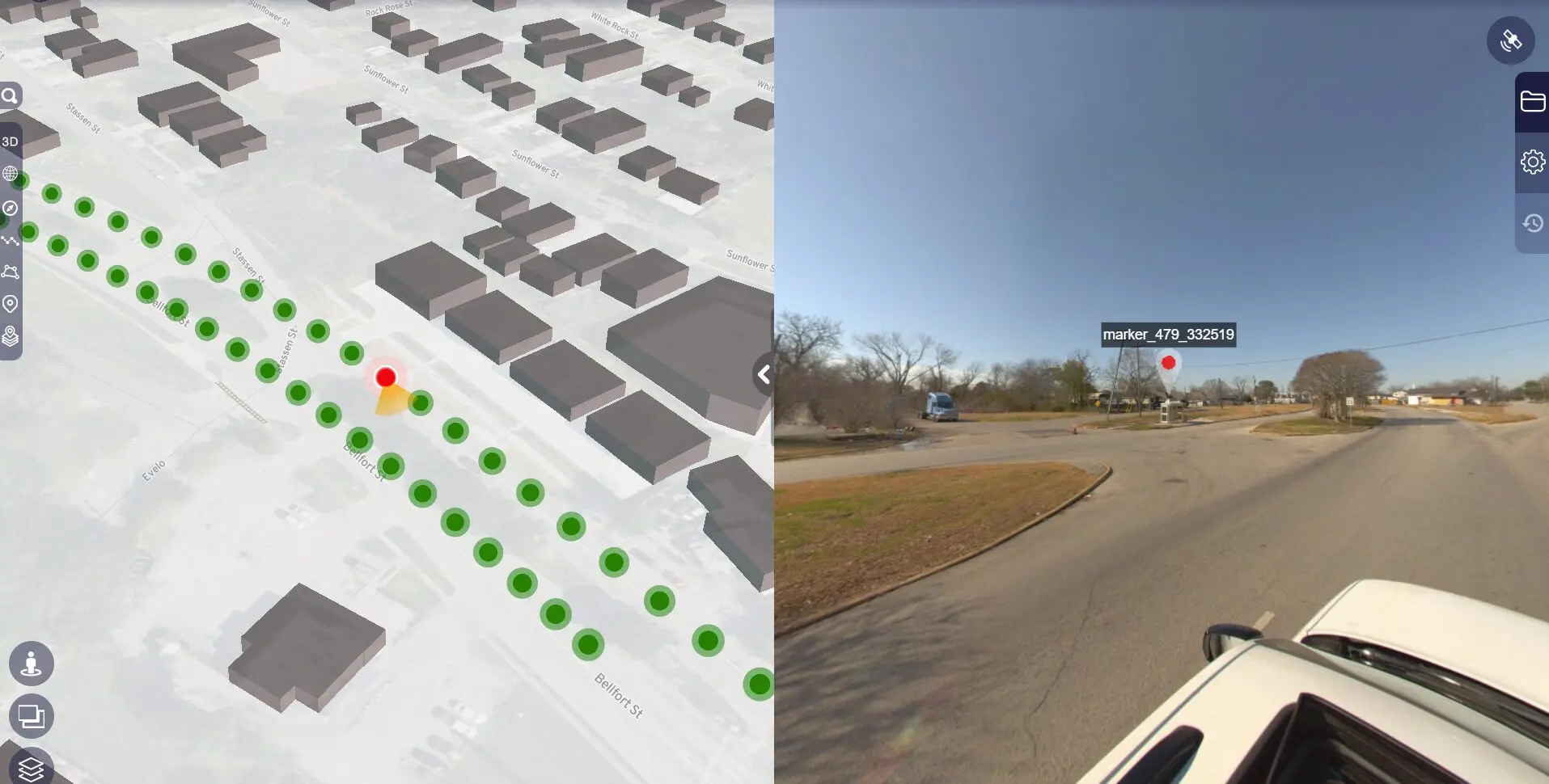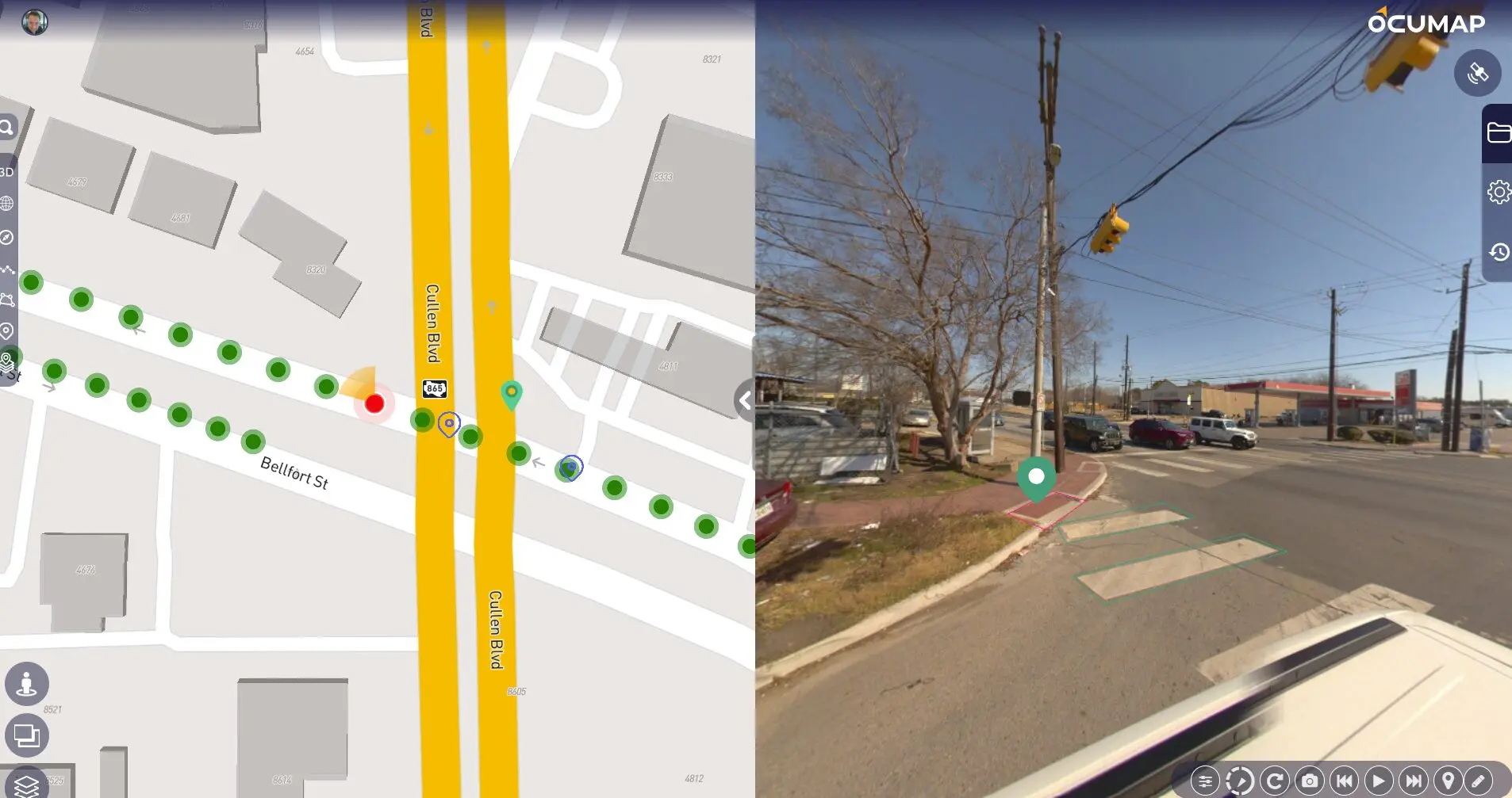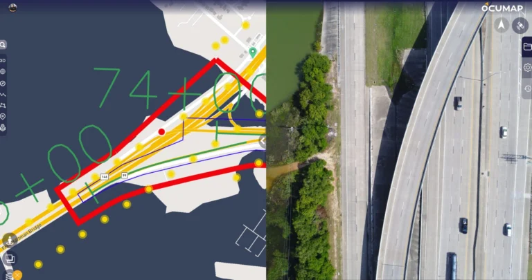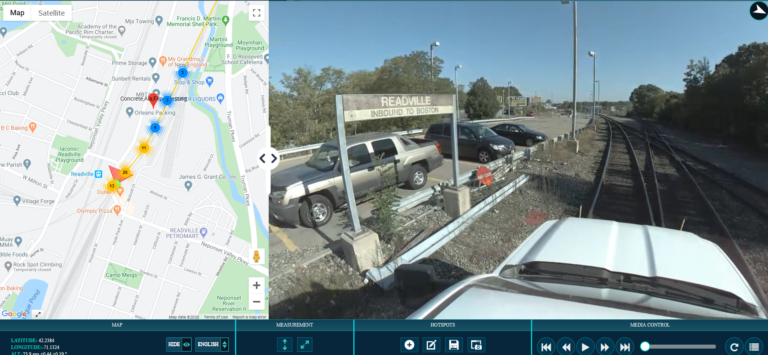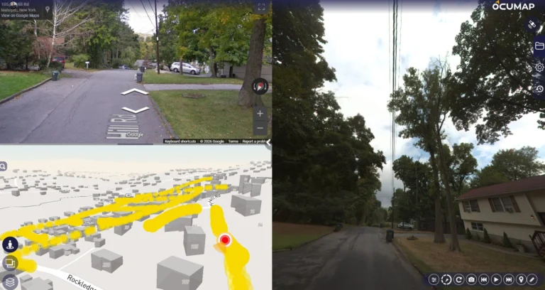
Reality IMT completed a mobile LiDAR corridor survey for approximately 1.4 miles of urban roadway containing 19 signalized intersections. The client required more than a registered point cloud. The final scope included engineering-ready Civil 3D data structured around the client’s internal production standards.
The roadway remained fully operational during acquisition. Heavy traffic, active construction zones, congested intersections, and temporary obstructions created difficult visibility conditions. Reality IMT planned the field effort to maximize coverage of pavement edges, curb lines, medians, sidewalks, signal infrastructure, and other visible roadway features while maintaining safe mobile operations.
After collection and processing, Reality IMT worked collaboratively with the client’s engineering team to refine layer naming, feature extraction, 3D linework, COGO point structure, and Civil 3D formatting. This transformed the assignment from a conventional point-cloud delivery into a repeatable engineering-data workflow.