Enterprise Existing Conditions Documentation
Large-Scale Facility Digitization for Capital Programs, Assessments & Modernization Projects
Reality IMT supports prime consultants, public agencies, facility owners, and infrastructure teams with rapid LiDAR capture, Scan-to-BIM, CAD documentation, GIS-ready data, and cloud-based visual deliverables for large building and infrastructure programs.
Square feet measured, modeled, and documented across building and infrastructure projects.
Reality IMT has supported scanning, BIM, CAD, GIS, and mapping projects since 2015.
Field deployment and remote production workflows for multi-site and multi-building programs.
Trusted Program Support
Experience Supporting Public, Private & Prime Consultant Teams
Reality IMT has supported complex documentation programs for institutional, commercial, infrastructure, and enterprise project teams.























Built for Program-Level Existing Conditions
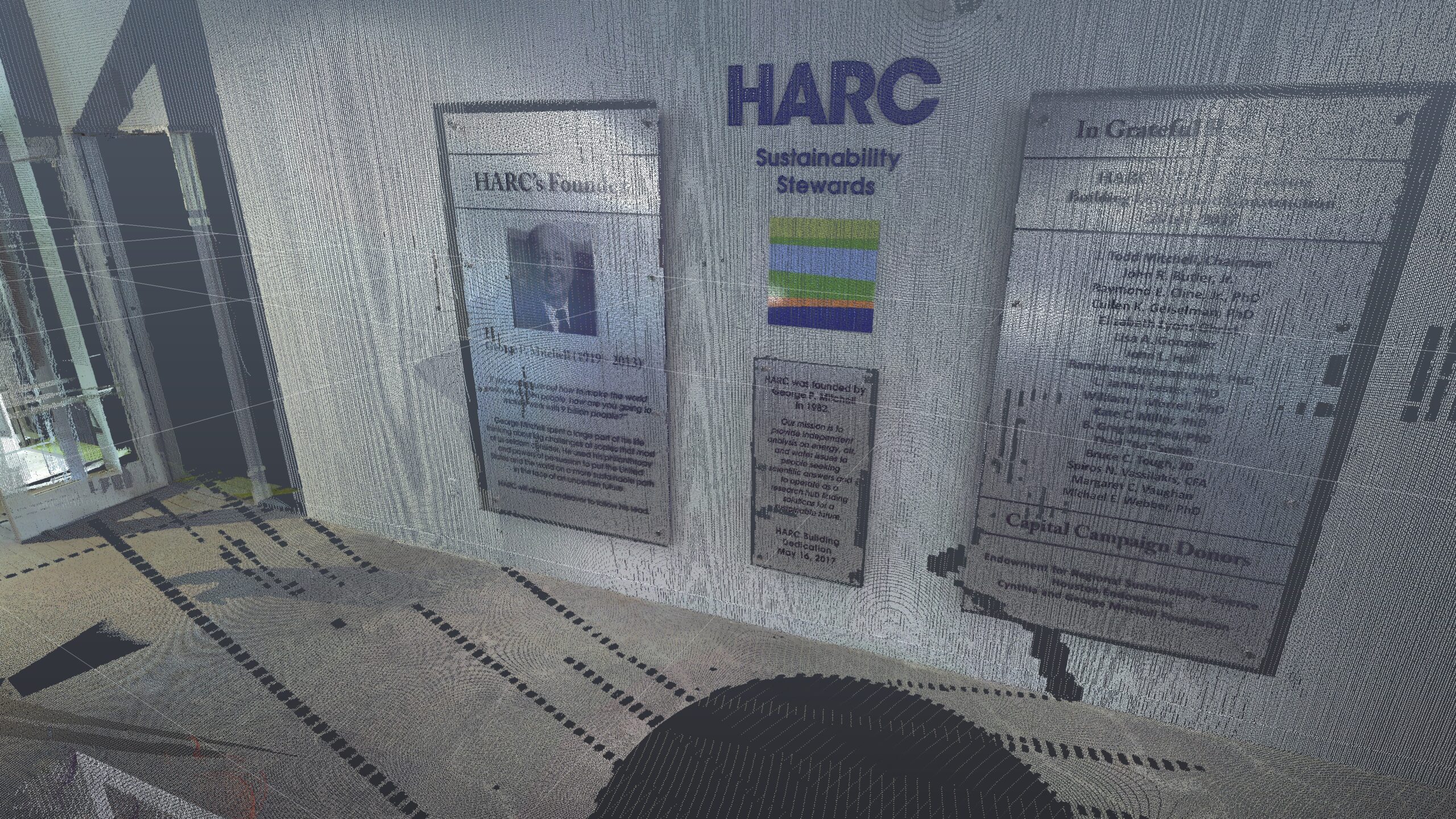
Large projects require more than field scanning. They require controlled capture standards, repeatable documentation workflows, QA/QC, deliverable consistency, and the ability to support architects, engineers, owners, and program managers at scale.
Facility Assessments
Support for condition assessments, deferred maintenance studies, renovation planning, and capital improvement programs.
Scan-to-BIM / CAD
Revit models, CAD backgrounds, floor plans, reflected ceiling plans, elevations, sections, and existing-condition documentation.
Infrastructure Mapping
LiDAR and GIS-ready documentation for corridors, roadways, rail, utilities, campuses, and exterior infrastructure assets.
Representative Program Experience
1.2M SF Justice Facility Assessment Support
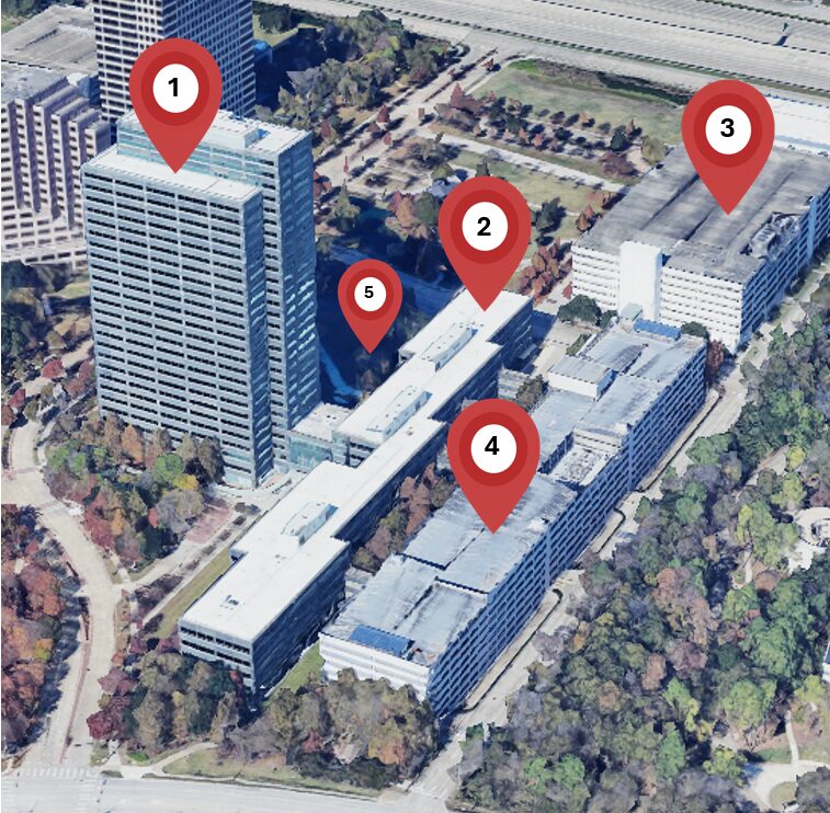
Reality IMT supported a large-scale assessment program involving approximately 1.2 million square feet across three major correctional facility buildings. The work supported a prime consultant and public-sector facility owner requiring accurate existing-condition documentation for assessment and planning.
Program Requirements Supported
- Multi-building existing conditions capture
- Occupied and operational facility coordination
- Point cloud documentation
- CAD / BIM production workflows
- QA/QC for large-scale deliverable consistency
- Support for assessment and modernization planning
Who We Support
Reality IMT is positioned as a technical subconsultant for prime consultants, owners, and program teams managing large physical assets.
Prime Consultants
AEC, engineering, program management, infrastructure, and facility assessment teams needing reliable existing-conditions support.
Public Owners
Counties, cities, airports, transit agencies, public works departments, universities, and institutional facility portfolios.
Private Enterprises
Healthcare, industrial, commercial, manufacturing, and campus-style owners planning renovations or facility digitization.
Subconsultant Readiness
Why Prime Consultants Work With Reality IMT
Reality IMT helps prime consultants reduce existing-condition risk, accelerate assessment workflows, and deliver consistent BIM, CAD, GIS, and point cloud documentation across large programs.
Rapid Mobilization
Nationwide field deployment and remote production workflows for urgent assessment and capital planning schedules.
Occupied Facility Experience
Field documentation workflows designed to minimize disruption in active facilities, campuses, public buildings, and operational environments.
Consistent Deliverables
Repeatable standards for point clouds, Revit models, CAD files, GIS-ready data, reports, and visual documentation.
Reduced Site Revisits
Dense reality-capture documentation helps project teams answer field questions without repeatedly returning to the site.
Core Deliverables
We tailor deliverables to the needs of the project team, from raw scan data to BIM, CAD, GIS, and cloud-based visual documentation.
- Registered point clouds: E57, RCP/RCS, LAS/LAZ
- Revit existing-condition models
- AutoCAD floor plans, elevations, sections, and RCPs
- GIS-ready mapping data and asset documentation
- 360 photo walkthroughs and visual site documentation
- Cloud-hosted project deliverables and review links
Quality Assurance & Deliverable Verification
Controlled QA/QC From Planning Through Delivery
Large existing-condition programs require controlled project gates, clear ownership, daily coordination, coverage validation, and final deliverable review. Reality IMT uses a structured quality workflow to reduce rework and maintain deliverable consistency.
Planning Review
Scope alignment, desktop study, field deployment planning, scan count estimates, team resourcing, schedule, and access coordination.
Field Capture Validation
Instrument calibration, safety briefings, scan frequency and resolution planning, field notes, and coverage confirmation during acquisition.
Processing QA/QC
Point cloud registration, geo-referencing when required, dimensional checks, coverage maps, and data processing reports reviewed by project leadership.
Deliverable Review
BIM, DWG, point cloud, GIS, and final project deliverables are reviewed for scope conformance before delivery.
Why Program Teams Choose Reality IMT
Reduced Site Revisits
High-density LiDAR and visual documentation help project teams answer existing-condition questions without repeatedly returning to the site.
Scalable Execution
Terminals, maintenance facilities, rail corridors, stations, roadways, and supporting infrastructure.
BIM + GIS Capability
Hospitals, medical office buildings, universities, institutional campuses, and facility portfolios.
Markets
Reality IMT supports large building, infrastructure, and facility documentation needs across public and private asset portfolios.
Justice & Public Safety
Jails, detention centers, courthouses, police facilities, and secured public buildings.
Airports & Transit
Repeatable workflows allow Reality IMT to support single buildings, multi-building campuses, and phased portfolio programs.
Healthcare & Campuses
Reality IMT bridges vertical building documentation and horizontal infrastructure mapping for owners with mixed asset portfolios.
Common Questions
Large-Scale Existing Conditions FAQ
Can Reality IMT support multi-building facility assessments?
Yes. Reality IMT supports multi-building and phased facility documentation programs using LiDAR scanning, point cloud processing, BIM/CAD production, and structured project coordination.
Do you work as a subconsultant to prime firms?
Yes. Reality IMT can support AEC, engineering, facility assessment, infrastructure, and program management firms as a technical documentation subconsultant.
What deliverables can be provided?
Deliverables can include registered point clouds, Revit models, AutoCAD drawings, GIS-ready data, 360 visual documentation, coverage maps, and project reports.
Can you work in occupied or operational facilities?
Yes. Reality IMT plans field capture around site access, safety requirements, operating conditions, and project phasing to minimize disruption.
Planning a Large Existing-Conditions Program?
Reality IMT can support your team with field capture, documentation standards, BIM/CAD/GIS deliverables, QA/QC workflows, and scalable execution for large buildings, campuses, corridors, and infrastructure portfolios.