Authority Library · Reality Capture · Existing Conditions

The Fundamentals of Reality Capture and 3D Laser Scanning

A practical guide to how modern field-capture technologies create measurable digital records of buildings, facilities, and infrastructure.

Core Topic
Reality Capture
Primary Technology
3D Laser Scanning
Primary Output
Point Clouds
Typical Uses
BIM, CAD, Mapping & Documentation

Overview

What Reality Capture Means

Reality capture is the process of collecting measurable information about an existing physical environment and converting it into digital data that can be reviewed, measured, modeled, mapped, or documented.

3D laser scanning is one of the most widely used reality-capture methods for buildings and facilities. Other methods may include mobile LiDAR, photogrammetry, georeferenced imagery, 360-degree photography, GNSS positioning, and conventional survey control.

The appropriate method depends on the asset, required accuracy, access conditions, intended deliverables, and how the information will be used.

Lorem Ipsum is simply dummy text of the printing and typesetting industry. Lorem Ipsum has been the industry's standard dummy text ever since 1966.

Project Details

Primary Service
Client
Content Type
Primary Audience
Primary Search Intent

Core Concept

How 3D Laser Scanning Works

A terrestrial laser scanner emits laser pulses and measures their return to establish millions of three-dimensional points. The resulting point cloud represents visible surfaces within the scanner’s line of sight.

Multiple scan positions are typically required to capture rooms, exterior elevations, equipment, structure, or complex industrial spaces. Those scans are then registered into one coordinated dataset.

Field Capture

Multiple scan positions collect visible geometry from different viewpoints.

Registration

Individual scans are aligned into a common coordinate system.

Quality Control

Coverage, alignment, noise, and project requirements are reviewed.

Workflow

From Point Cloud to Usable Documentation

A point cloud is not automatically a finished drawing or model. The captured data must be processed, reviewed, and translated into the required deliverables.

1. Project Planning

Define the required accuracy, accessible areas, coordinate system, schedule, safety constraints, and final deliverables before fieldwork begins.

2. Field Capture

Collect sufficient overlap and viewpoints to represent the accessible existing conditions.

3. Registration and Cleanup

Align the scans, remove unnecessary noise, review coverage, and organize the data for production.

4. Modeling, Drafting, or Mapping

Translate verified information into Revit, CAD, floor plans, elevations, sections, GIS features, or other project outputs.

5. QA/QC and Delivery

Review the finished deliverables against the point cloud and agreed scope before release.

Selection

Choosing the Right Reality-Capture Method

No single technology is best for every project. Method selection should be driven by the required outcome.

Terrestrial Laser Scanning

Best suited to detailed building interiors, exteriors, industrial spaces, and static equipment.

Mobile LiDAR

Useful for long corridors, roads, rail, campuses, and other linear or large-area environments.

Photogrammetry

Useful when image-based surface reconstruction, aerial coverage, or textured models are important.

360 & Georeferenced Imagery

Useful when visual context, remote review, and rapid condition documentation are priorities.

Applications

Common Uses of Reality-Capture Data

Reality-capture data can support renovation design, facility records, area verification, equipment replacement, construction coordination, rail and roadway mapping, utility asset review, and condition documentation.

Existing-Condition BIM

Revit models and coordinated drawings for architects and engineers.

As-Built Drawings

Measured floor plans, elevations, sections, and CAD files.

Facility Documentation

Current spatial and visual records for operations and planning.

Infrastructure Mapping

Corridor geometry, imagery, and visible asset documentation.

Planning

Questions to Ask Before Requesting a Scan

A strong scope starts with a clear intended use. The required field method and deliverables can change significantly depending on whether the project needs visual documentation, measured drawings, a Revit model, survey integration, or corridor mapping.

What decisions will the data support?

Define the business or technical use before choosing the output.

What level of detail is required?

Identify whether the team needs general geometry, detailed modeling, visible MEP, equipment, or site features.

What areas are accessible?

Occupied, active, restricted, concealed, or unsafe areas may affect the capture plan.

What file formats are required?

Confirm point-cloud, Revit, CAD, PDF, GIS, imagery, or viewer requirements.

More Relevant Work

Related Projects

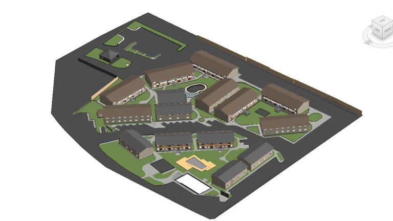
Architectural documentation of a multifamily apartment complex

8 Jul 2026

700-Unit Multifamily Building Documentation Completed in 30 Days

Reality IMT documented five multifamily communities totaling approximately 620,000 square feet and more than 700…

CONTINUE READING
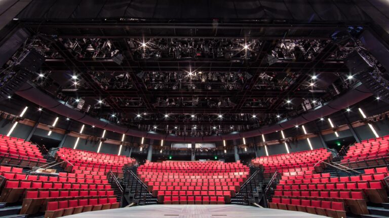
Alley Theatre Hubbard Theatre interior captured using 3D laser scanning for as-built documentation

7 Feb 2026

Alley Theatre 3D Laser Scanning & Digital Twin

Reality IMT delivered high-precision 3D laser scanning for construction and facility documentation at the historic…

CONTINUE READING
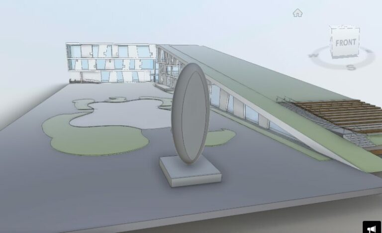
Glassell School of Art-3D As-Built Architectural Survey Houston using HDS Laser Scanning Technology-point cloud Revit BOMA measurements,Commercial As-Built.

5 Nov 2024

Glassell School of Art, Houston

A Hub for Artistic Innovation: The Glassell School of Art, a cornerstone of the Museum…

CONTINUE READING

Need Help Defining the Right Capture Scope?

Send us the asset type, location, intended use, available records, and required deliverables.