Drilling Rig 3D Laser Scan
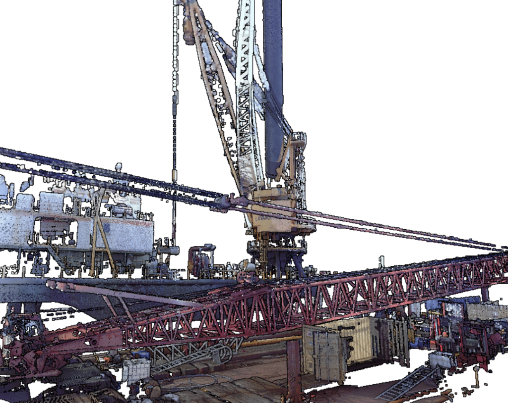
When digitizing a drilling rig with 3D laser scan, a point cloud (or point cloud) is generated as the result of millions of measurements. Sample above shows a directional drilling rig off the Gulf of Mexico taken with a 3D laser scanner with only 3 scan stations (model is only a sample and does not represent the entire rig that was scanned). The point cloud replicates the entire rig in 3D and is accurate up to + or – 2mm. The entire topside of the drilling rig can be visualized in a web-based viewer for fast decision making on logistics, engineering and maintenance.
Primitive 3D CAD Model for Drilling Rig
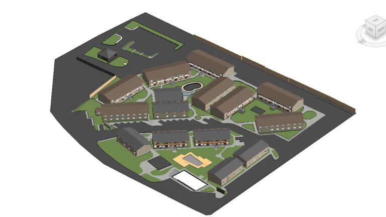
Pointcloud data represents the first step after connecting all the measurements into a single cohesive environment. a 3D CAD model can then be generated from the point cloud to serve as the most up to date blueprint of the rig. The 3D CAD can also serve a digital twin where IOT devices can send real-time data to a web-viewer that has the 3D CAD model in it. For example, an IOT device is monitoring pressure inside a pump, the geometric shape of this pump (with exact dimensions) can be show the pressure level in the cylinder in real-time.
Intelligent 3D CAD Model
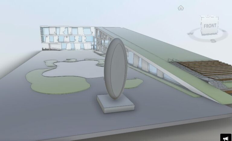
While a primitive 3D CAD model can do the job, sometimes, it is required that all models be Intelligent to help replicate the drilling rig in a digital form. Engineering specifications are typically included in this type of model and embedded in the it. For example, in addition to exact geometry, the model will include engineering piping specifications, general arrangement drawings and sometimes plot plans.