Authority Library · Industrial LiDAR · Existing Conditions

LiDAR Applications in Operating Industrial Plants

How 3D laser scanning supports engineering, equipment replacement, piping modifications, as-built documentation, and planning inside active industrial facilities.

Environment
Operating Plants
Primary Technology
3D Laser Scanning / LiDAR
Typical Outputs
Point Clouds, CAD & Revit
Primary Uses
Modifications, Replacement & Documentation

Project Overview

Why Industrial Existing Conditions Are Difficult to Document

Operating plants contain dense piping, equipment, structure, cable trays, platforms, and access constraints that are difficult to represent accurately with conventional measurements alone.

Legacy drawings may be incomplete, outdated, or inconsistent with modifications made during years of operation. When engineering teams are planning equipment replacement, piping changes, tie-ins, or shutdown work, those information gaps can create design and coordination risk.

3D laser scanning provides a measurable digital record of visible conditions that can be reviewed by engineering, fabrication, construction, and operations teams.

Lorem Ipsum is simply dummy text of the printing and typesetting industry. Lorem Ipsum has been the industry's standard dummy text ever since 1966.

Project Details

Supporting Services
Content Type
Primary Audience
Primary Search Intent

Application 1

As-Built Drawing and Model Development

Laser scanning can support the recreation or updating of floor plans, structural layouts, equipment arrangements, pipe racks, and other visible plant conditions.

The point cloud serves as a measurable reference for CAD, Revit, or plant-design modeling workflows, subject to the agreed level of detail and accessible visibility.

Application 2

Equipment Replacement and Retrofit Planning

Before replacing a boiler, chiller, vessel, skid, production line, or other major asset, teams need to understand existing clearances, connections, access routes, structure, and surrounding systems.

A coordinated scan can support replacement planning and reduce dependence on isolated field dimensions.

Application 3

Piping Modifications and Tie-In Coordination

Dense piping environments are difficult to document with tape measurements and photographs alone. Scanning can provide a spatial reference for visible routing, supports, valves, flanges, and nearby obstructions.

The resulting data can be used for modification design, prefabrication review, and clash evaluation, while recognizing that concealed or inaccessible conditions remain outside the visible scan scope.

Application 4

Shutdown and Construction Planning

Industrial work often depends on short shutdown windows. Better existing-condition information can help engineering and construction teams plan sequences, access, temporary removals, lifting, and installation logistics before field mobilization.

Scanning does not eliminate field verification, but it can substantially improve the quality of preconstruction planning.

Application 5

Remote Review and Multidisciplinary Coordination

Point clouds and visual documentation allow distributed teams to review the same existing conditions without every participant making repeated site visits.

Mechanical, structural, electrical, process, fabrication, and owner teams can reference one coordinated dataset during design development and review.

Scope

What an Industrial Scanning Scope Should Define

Industrial projects require clear scope boundaries. The proposal should identify accessible areas, required coordinate control, field safety requirements, visible systems to be represented, expected outputs, and the intended level of model development.

Accessible Areas

Define operating restrictions, elevated areas, confined spaces, and line-of-sight limitations.

Visible Systems

Identify whether the scope includes architecture, structure, piping, equipment, cable trays, or other visible systems.

Coordinate Requirements

Confirm plant coordinates, survey control, local coordinates, or model-origin requirements.

Deliverable Requirements

Specify point-cloud formats, CAD/Revit/plant-model outputs, sheets, viewers, and QA/QC expectations.

More Relevant Work

Related Projects

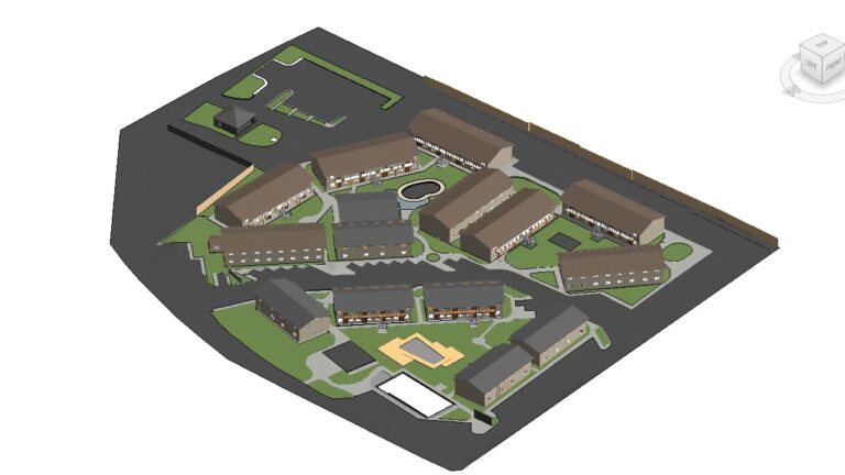
Architectural documentation of a multifamily apartment complex

8 Jul 2026

700-Unit Multifamily Building Documentation Completed in 30 Days

Reality IMT documented five multifamily communities totaling approximately 620,000 square feet and more than 700…

CONTINUE READING
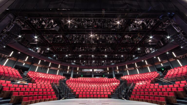
Alley Theatre Hubbard Theatre interior captured using 3D laser scanning for as-built documentation

7 Feb 2026

Alley Theatre 3D Laser Scanning & Digital Twin

Reality IMT delivered high-precision 3D laser scanning for construction and facility documentation at the historic…

CONTINUE READING
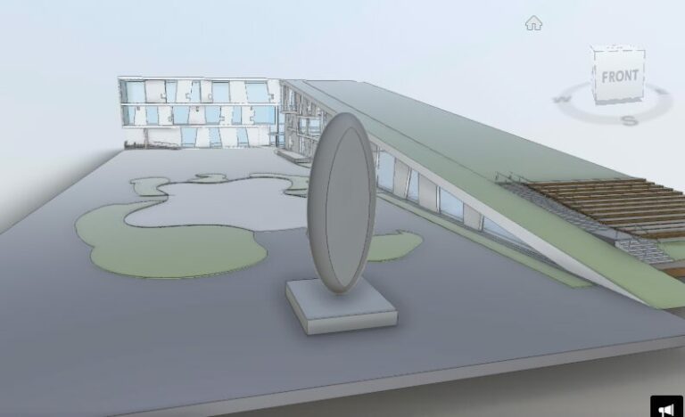
Glassell School of Art-3D As-Built Architectural Survey Houston using HDS Laser Scanning Technology-point cloud Revit BOMA measurements,Commercial As-Built.

5 Nov 2024

Glassell School of Art, Houston

A Hub for Artistic Innovation: The Glassell School of Art, a cornerstone of the Museum…

CONTINUE READING

Planning Work Inside an Operating Facility?

Send us the plant area, accessible levels, systems to capture, coordinate requirements, and intended deliverables.