Geospatial Mapping

Georeferenced Video vs. Photogrammetry: Choosing the Right Method

Georeferenced video and photogrammetry can both support infrastructure documentation, but they solve different problems and should be selected based on required accuracy, outputs, users, and decision-making needs.

Geovideo Strength
Rapid Visual Context
Photogrammetry Strength
Measured Surface Models
Key Decision
Required Output and Accuracy
Common Use
Corridors and Infrastructure

Overview

When Georeferenced Video Is the Better Fit

Georeferenced video links continuous visual footage to location and time. It is useful when stakeholders need to review conditions, follow a corridor, tag visible issues, and understand where observations occurred.

Photogrammetry uses overlapping images to reconstruct measurable surfaces, orthophotos, point clouds, or three-dimensional models. It generally requires more deliberate capture planning and processing, but it can produce outputs that geovideo alone cannot.

The correct choice depends on whether the project primarily needs visual awareness or a measured geospatial product.
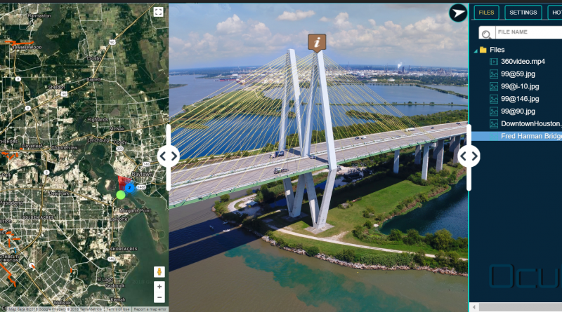
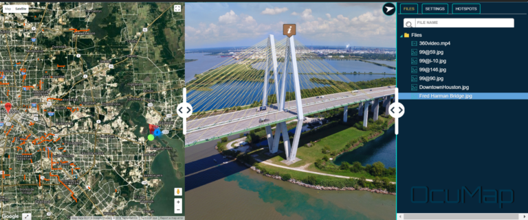
Video Imagery software for aerial geovideo, maps, and data management. OcuMap Software is camera agnostic, supports 360 degree video GPS & panoramic imagery

Article Details

Content Type
Primary Audience
Primary Search Intent
Reading Time

Geovideo

When Georeferenced Video Is the Better Fit

Geovideo is often appropriate when the primary need is continuous visual coverage, rapid review, condition tagging, and communication with non-GIS stakeholders.

Corridor Inspections

Review long linear assets without managing thousands of disconnected images.

Condition Documentation

Tag visible issues and preserve the surrounding context.

Remote Stakeholder Review

Allow managers, engineers, and maintenance teams to follow the same route visually.

Repeatable Visual Baselines

Record conditions for later comparison without requiring a full 3D model.

Photogrammetry

When Photogrammetry Is the Better Fit

Photogrammetry is more appropriate when the project needs measurable surface information, orthophotos, elevation models, textured meshes, or detailed aerial mapping.

Orthomosaic Mapping

Creates corrected plan-view imagery for measured map use.

Surface and Elevation Models

Supports topographic and surface analysis when properly controlled.

Measured 3D Models

Produces image-based point clouds or meshes for geometry review.

Sitewide Spatial Analysis

Supports mapping where relationships between surfaces and features must be measured.

Comparison

Key Selection Criteria

Required Accuracy

Visual location awareness and survey-grade measurement are not the same requirement.

Final Deliverable

Choose according to whether the team needs video, issue tags, orthophotos, point clouds, meshes, or GIS features.

Processing Time

Photogrammetry typically requires model generation and validation; geovideo can be prepared more directly for review.

Field Conditions

Vegetation, water, repetitive surfaces, lighting, flight restrictions, and access can affect both methods.

Intended Users

Maintenance and management teams may prioritize simple visual review; survey and design teams may need measured products.

Control and QA/QC

Measured outputs require appropriate control, validation, and documented procedures.

Combined Workflow

The Best Answer May Be Both

Some projects benefit from using geovideo for continuous condition review and photogrammetry for selected locations requiring measured surface models or orthophotos.

A hybrid scope can avoid over-processing an entire corridor while still producing detailed measured outputs where they are justified.

Project Planning

Questions to Ask Before Selecting a Method

Do we need measurements or visual context?

Define the decision the information must support.

Who will use the data?

Consider GIS, engineering, maintenance, management, public communication, and contractor users.

How long is the corridor or site?

Large linear scopes may benefit from tiered capture methods.

What conditions may limit capture?

Review airspace, access, vegetation, water, traffic, weather, and safety constraints.

How quickly is the information needed?

Separate rapid review needs from final measured deliverables.

What must be retained over time?

Define hosting, file formats, metadata, and update requirements.

Intended Audiences

Who This Guide Is For

Municipal
Transportation and Infrastructure Teams
Public Works
Transportation Agencies
Drainage Teams
Environmental Consultants
Utility Managers
GIS and Engineering Teams

Related Work

Related case studies / portfolio

Aerial 360 Mapping-Civil Engineering Houston-Highway 99

22 Oct 2018

Highway 99 Expansion

Aerial 360 Mapping-Highway 99 Expansion According The Texas Department of Transpiration, State Highway 99 (the Grand…

CONTINUE READING
Hurricane Harvey Houston

3 Jan 2018

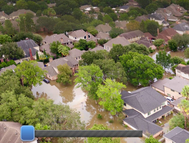
Hurricane Harvey Visual Assessment

Hurricane Harvey of 2017 is tied with 2005’s Hurricane Katrina as the costliest tropical cyclone…

CONTINUE READING
houston aerial 360 imagery

5 Mar 2018

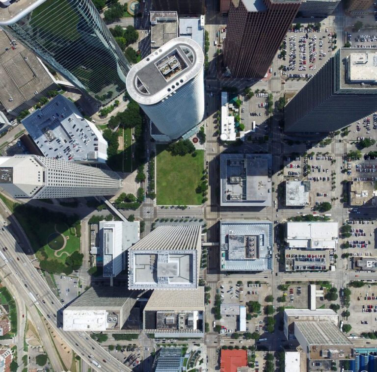
Downtown Houston Aerial Assessment

Downtown Houston is a bustling business hub and home to major attractions like the Houston…

CONTINUE READING

Not Sure Which Capture Method Fits Your Project?

Send us the project area, required outputs, intended users, accuracy needs, and schedule.