
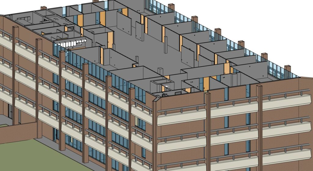
MUNICIPAL EXISTING CONDITION DOCUMENTATION
Municipal & Public Sector: 3D Scanning & Existing-Condition Documentation
Reality IMT provides 3D laser scanning, existing-condition documentation, BIM deliverables, and as-built drawings for municipalities, public agencies, transportation authorities, utility providers, and government-owned facilities. Accurate field data supports renovation planning, capital improvement programs, facility management, and infrastructure modernization projects.
The Problem Municipal & Public Sector Teams Need to Solve
Public agencies are responsible for maintaining and upgrading a wide range of assets, including government buildings, public safety facilities, transportation infrastructure, utilities, and community spaces. Many projects begin with incomplete records, outdated drawings, or missing existing-condition information.
Without accurate documentation, project teams face increased risk during budgeting, design, procurement, and construction. Existing-condition capture provides reliable field-verified data that improves planning accuracy and reduces uncertainty before work begins.
How Reality IMT Supports Municipal & Public Sector Projects
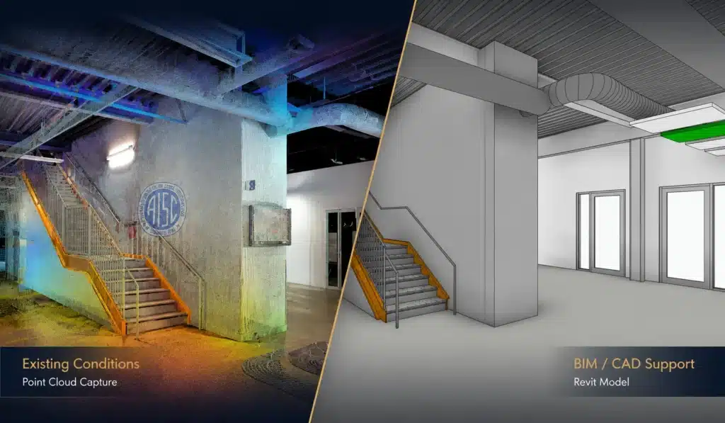
Existing-Condition Documentation
Capture accurate existing conditions for public buildings, infrastructure assets, utility facilities, and transportation corridors.
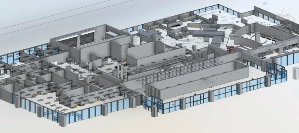
BIM & Digital Deliverables
Provide point clouds, CAD drawings, Revit models, and documentation packages that support long-term asset management.
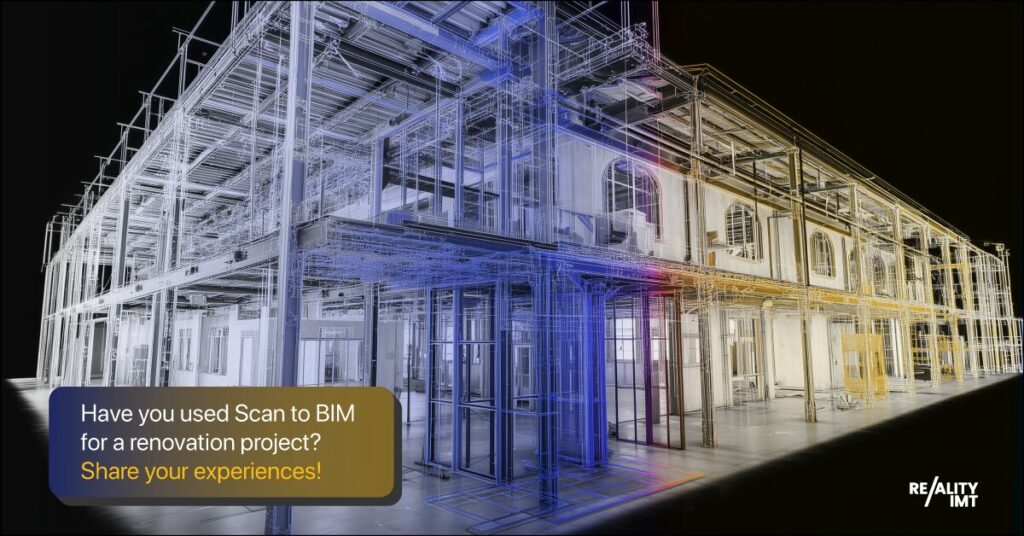
Renovation & Capital Improvement Planning
Create reliable documentation that supports facility upgrades, expansions, accessibility improvements, and modernization projects.
Common Project Types
Government Buildings
Administrative offices, courthouses, city halls, and municipal service centers.
Public Safety Facilities
Police stations, fire stations, emergency operations centers, and training facilities.
Transportation & Infrastructure
Transit facilities, stations, bridges, tunnels, roadways, and supporting infrastructure.
Relevant Deliverables
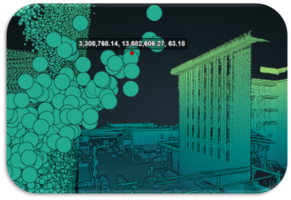
Point Cloud Data
Accurate reality-capture datasets for engineering, planning, and documentation workflows.
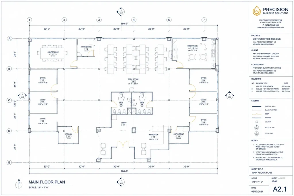
CAD / DWG Drawings
Existing-condition floor plans, elevations, sections, and site documentation.
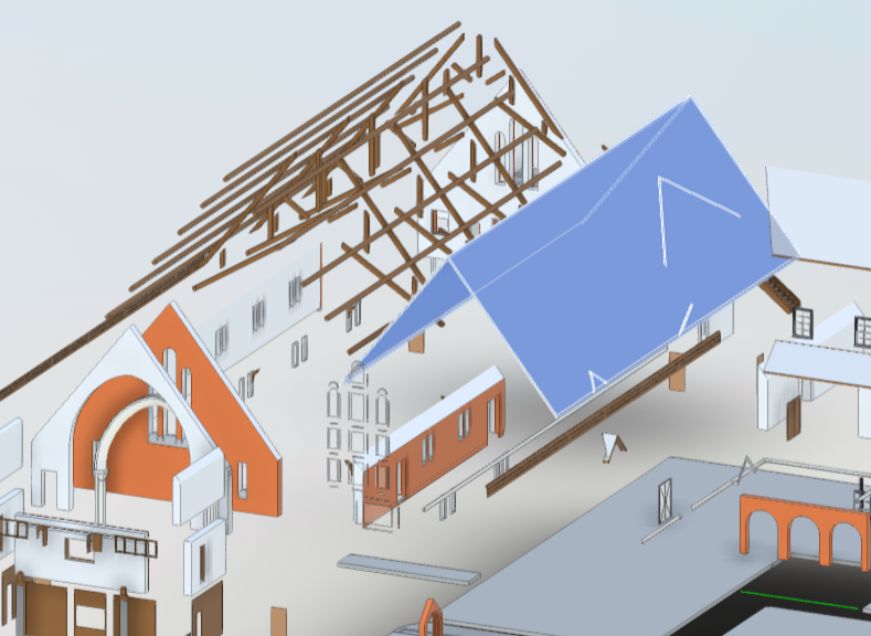
Revit / BIM Models
Intelligent BIM deliverables supporting planning, coordination, and asset management.
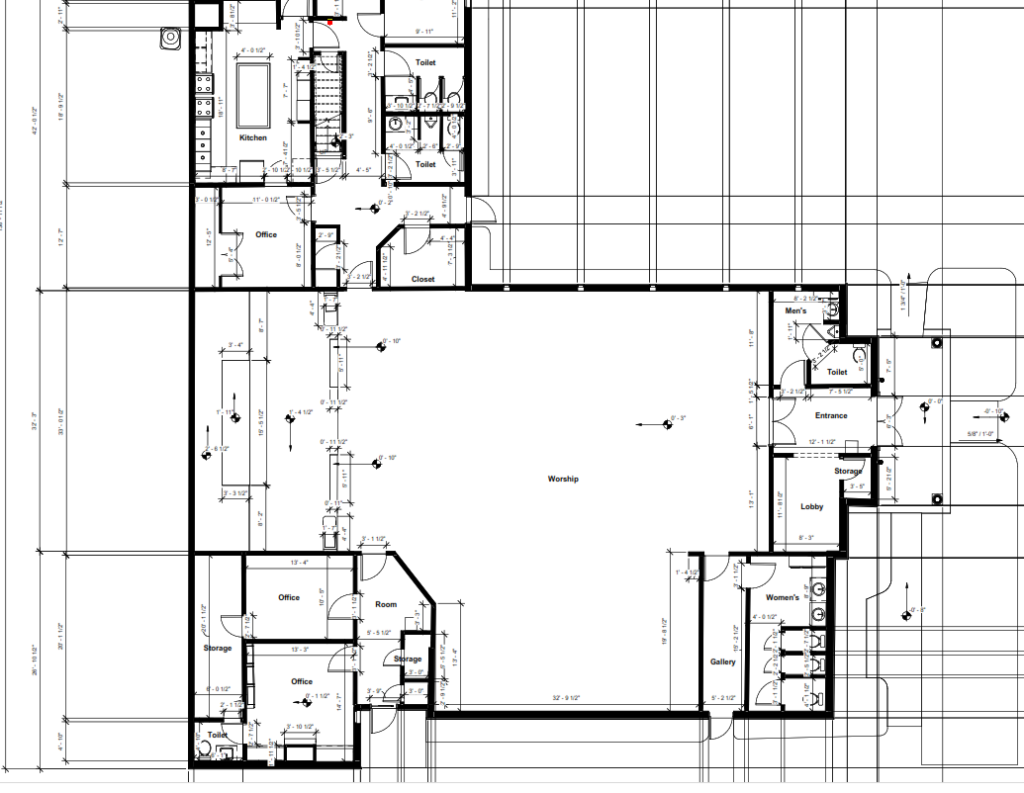
Floor Plans / Reports
Field-verified documentation for public facility planning and renovation.
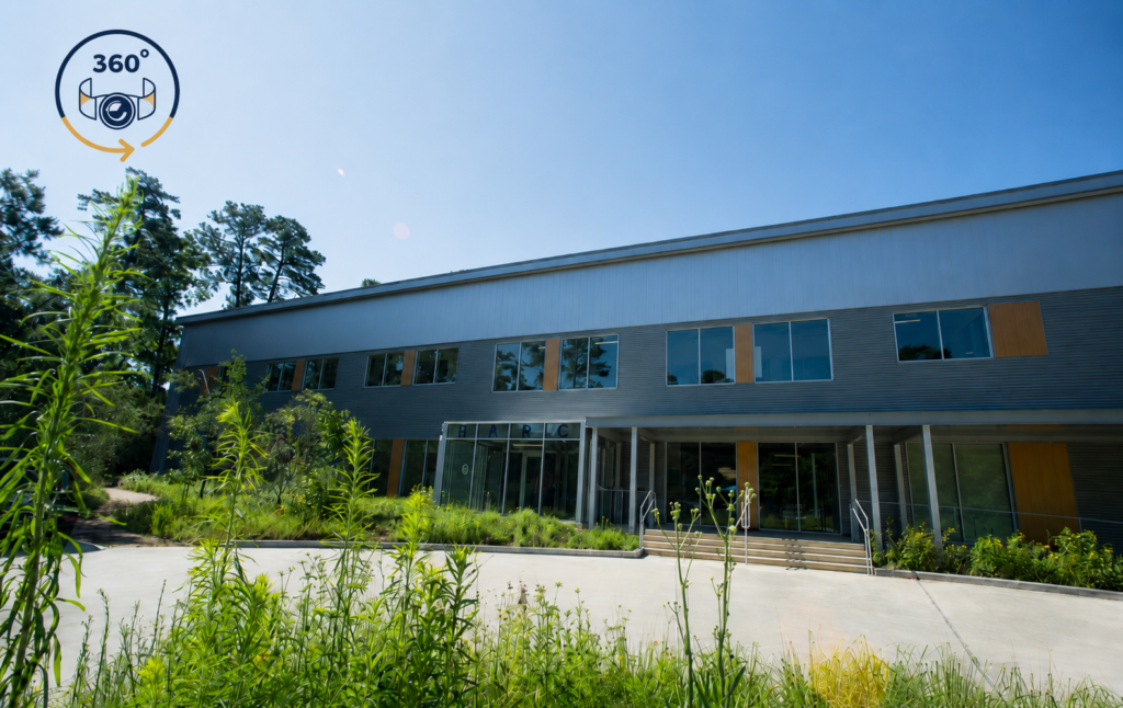
360° Visual References
Virtual site references that support remote review and stakeholder coordination.
Related Projects
Representative municipal and public sector projects demonstrating Reality IMT’s ability to document government facilities, public infrastructure, transportation assets, and complex existing conditions.
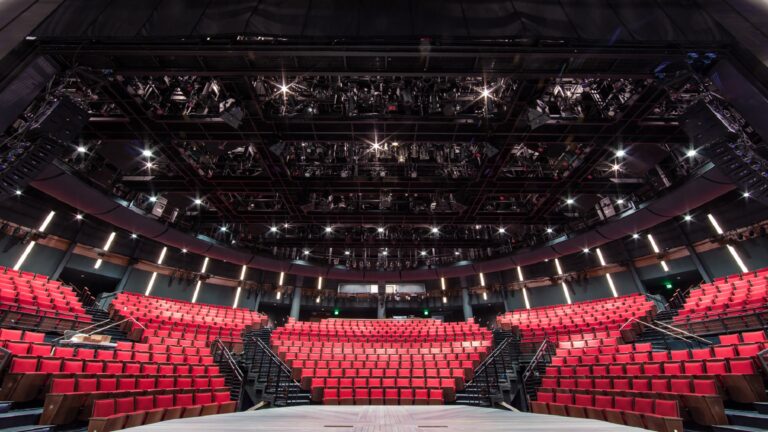
7 Feb 2026
Alley Theatre 3D Laser Scanning & Digital Twin
Reality IMT delivered high-precision 3D laser scanning for construction and facility documentation at the historic…
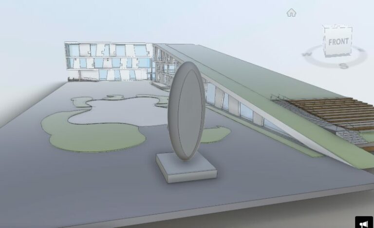
5 Nov 2024
Glassell School of Art, Houston
A Hub for Artistic Innovation: The Glassell School of Art, a cornerstone of the Museum…
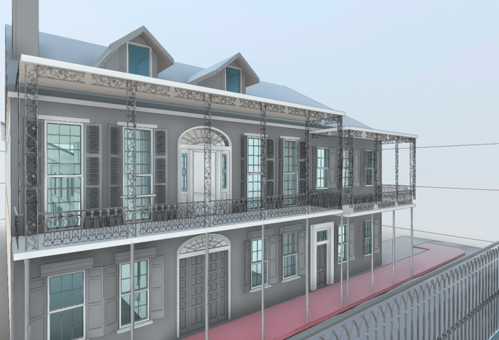
8 Jun 2022
New Orleans-Historic District As-Built
The Vieux Carré Historic District in New Orleans, LA is a unique place due it’s…
Need Existing-Condition Documentation for a Public Sector Project?
Reality IMT helps municipalities, public agencies, transportation authorities, and facility managers obtain accurate field data, documentation, and BIM deliverables for renovation, infrastructure, and capital improvement projects.