Energy, Chemical, Oil & Gas Companies
3D Scans, Surveys and Mapping for Onshore / Offshore Buildings, Facilities, Pipelines and Equipment
Our Capabilities
- 3D Pipe Measurements (Oil and Gas)
- Digital P&ID – Up-to-Date P&ID
- Topside Documentation using High Resolution Panoramic Imager
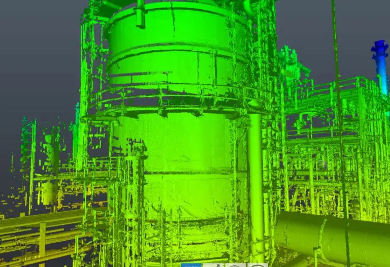
- 3D Laser Scanning and Pointcloud Generation
- As-Built BIM
- Intelligent 3D CAD Models
- Smart Plant Support
- Tank Inspections (API 650)
- Isometrics
- Bathymetric Surveys
Our Experience
Reality IMT’s Industrial As-Built division has been supporting the Oil and Gas industry around the nation in delivering quality 3D laser scanning surveys for as-built documentation and BIM. We apply the latest technology tools to measure every inch of an offshore production platform, and petrochemical plants.
3D laser scanning for Oil and Gas companies can enhance engineering accuracy, shorten project schedules, and reduce costs associated with multiple site visits. In addition, teams can improve coordination among the project team, contractors, and suppliers by using a web-based 3D as-is environment showing the exact layout of equipment, pipes, valves and the quantity of each item.
Our clients are able to reduce time spent on the project by 40% and reduce cost by 25% when compared to conventional methods.
Software




Our
Process
Schedule a CallGather Project Information
This will be general information about the project including address, building size, occupancy status, etc.
Define Scope of Work (SOW) and Project Deliverables
What are we expected to deliver? The answer to this questions helps us draft the SOW. For example, are we delivering a Pointcloud file, Navisworks, CaDWorx, DWG, or 3D imagery? Are we documenting valves, pipe rack, pumps, grating, furnaces, or something else?
Let's Talk About Safety
We are committed to maintaining a safe and healthy environment for our employees, contractors and clients. Any safety concerns will be addressed during this stage. Working with your team, we identify any health and safety risks associated with delivering the project and plan mitigation. We ensure that draft permit forms and JSAs are ready before deploying personnel. In this stage, we also discuss any schedule constraints you may have and communicate weather or not we are able to safely meet your deadline.
Proposal
Information from steps 1-3 above are used to generate a proposal and coordinate schedule, site visit, and data collection. A detailed approach will be listed and discussed with the client. Once approvals are received, resources are deployed and data collection starts in the field.
Data Registration & QA/QC
During this step, we perform a quality check on the data gathered in the field and ensure that measurements are accurate. We are also able to quantify how accurate the data is at this stage. A data registration report could be provided to the client upon request.
Industrial BIM/CAD Modeling
The collected data is imported into the appropriate software and vector files are generated.
QA/QC of BIM/CAD and Delivery
Generated CAD model is overlaid on top of the pointcloud data and any shifts/anomalies are identified, quantified and repaired. Uncertain measurements are called out on the drawings to help you make the final judgement.
Case Study
Our Work
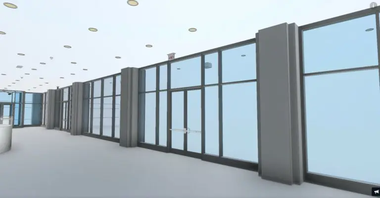
From Rope to Laser: Evolution of Measurement Technology in Architecture
Measurement technology plays a vital role in architecture, as it is the key to designing…
LiDAR in Architecture
LiDAR in Architecture: How Technology Is Changing the Way We Design In the field of…
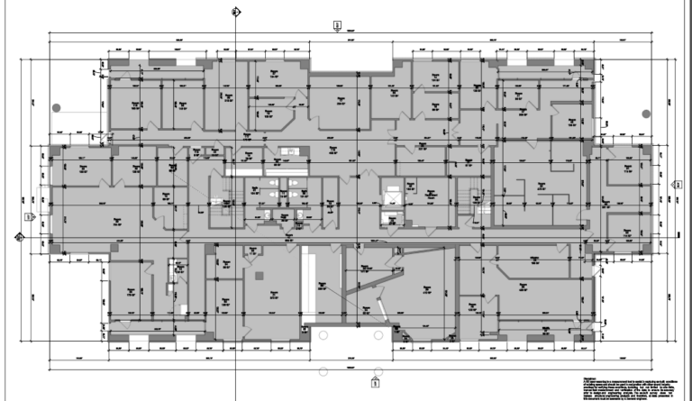
Accurate and Fast Floor Plan Measurements using 3D Building Scanning Technology
When it comes to measuring and documenting building floor plans, there are several factors to…