Rail LiDAR & 360 Video Mapping
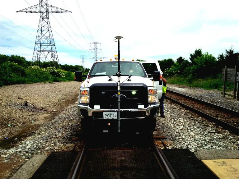
Reality IMT’s Rail LiDAR services can optimize your infrastructure asset documentation with our as-built surveying, all while spending minimum time on the track. Our Hi-Rail Mapping System is composed of a UHD 360 degree video mapping camera with GPS, LiDAR at 700,000 measurements per second, Dual GPS and Inertial Measurement Unit (IMU). Hundreds of Miles can be mapped in a single pass.

Bring hundreds of miles of track onto your desktop
Vehicle-based rail as-built surveying of nationwide railways utilizes 360 degree video mapping technology that can capture all dimensions and geometry of above-ground assets along the entire track’s right of way with high positional accuracy.
Technology
- Hi-Rail LiDAR
- 360° Video-RGB Camera
- GNSS+INS
- OcuMap
Application
- PTC Asset Identification
- Horizontal and Vertical Clearances
- Asset Inventories & Vegetation Analysis
- Plan & Profile
- Track Charts
- Grade Crossings
Delivery Format
- GIS files & Georeferenced Imagery
- AutoDesk Civil3D & AutoCAD
- LAS
- Web-based application for panoramic imagery and 360° video
- Clearance & Vegetation Analysis Reports
Benefits
- FRA Regulatory Compliance.
- Rapid condition assessment for areas with limited track access.
- Maximize Railway worker safety by eliminating boots on the ground.
- Turn-key solution (collect, process,analyze) to save time and increase efficiency.
Learn more about our Rail LiDAR Services
Get a Digital Footprint of your Entire Rail Network in Days
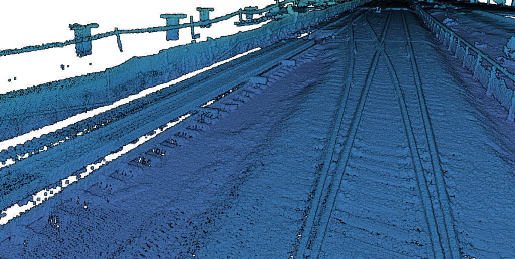
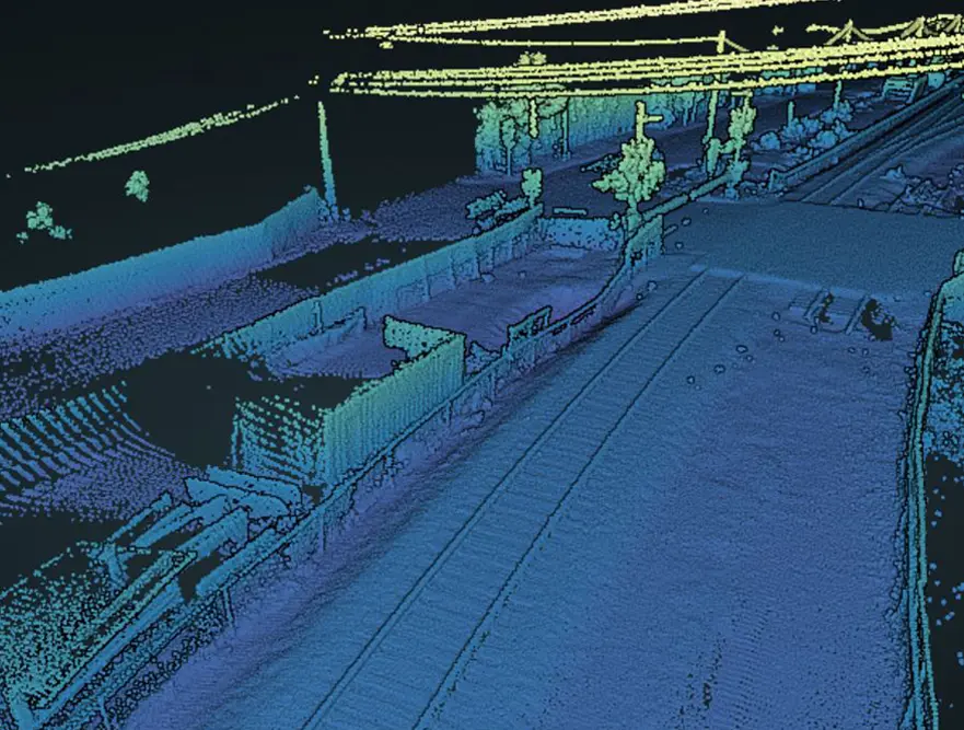
This short video shows sample LiDAR data collected on a railway at track speed. The pointcloud data was then classified based on ground, vegetation, and track. Once data is classified, features can be extracted based on location and dimensions
In addition to our LiDAR service, Reality IMT deploys 360 degree GPS video mapping to visually document linear assets and corridors. The railroad industry has been benefiting tremendously from LiDAR, 360 degree video mapping, and as-built surveys since the ability to access the tracks is limited due to continuous traffic flow. Data collected from the LiDAR and camera can be done in a SINGLE PASS without disrupting track time. In addition, the amount of data collected, far exceeds what a conventional survey can produce and meets the required accuracy by FRA.
Need more info? reach out to us.


