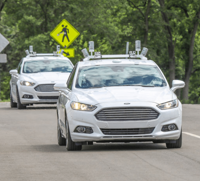
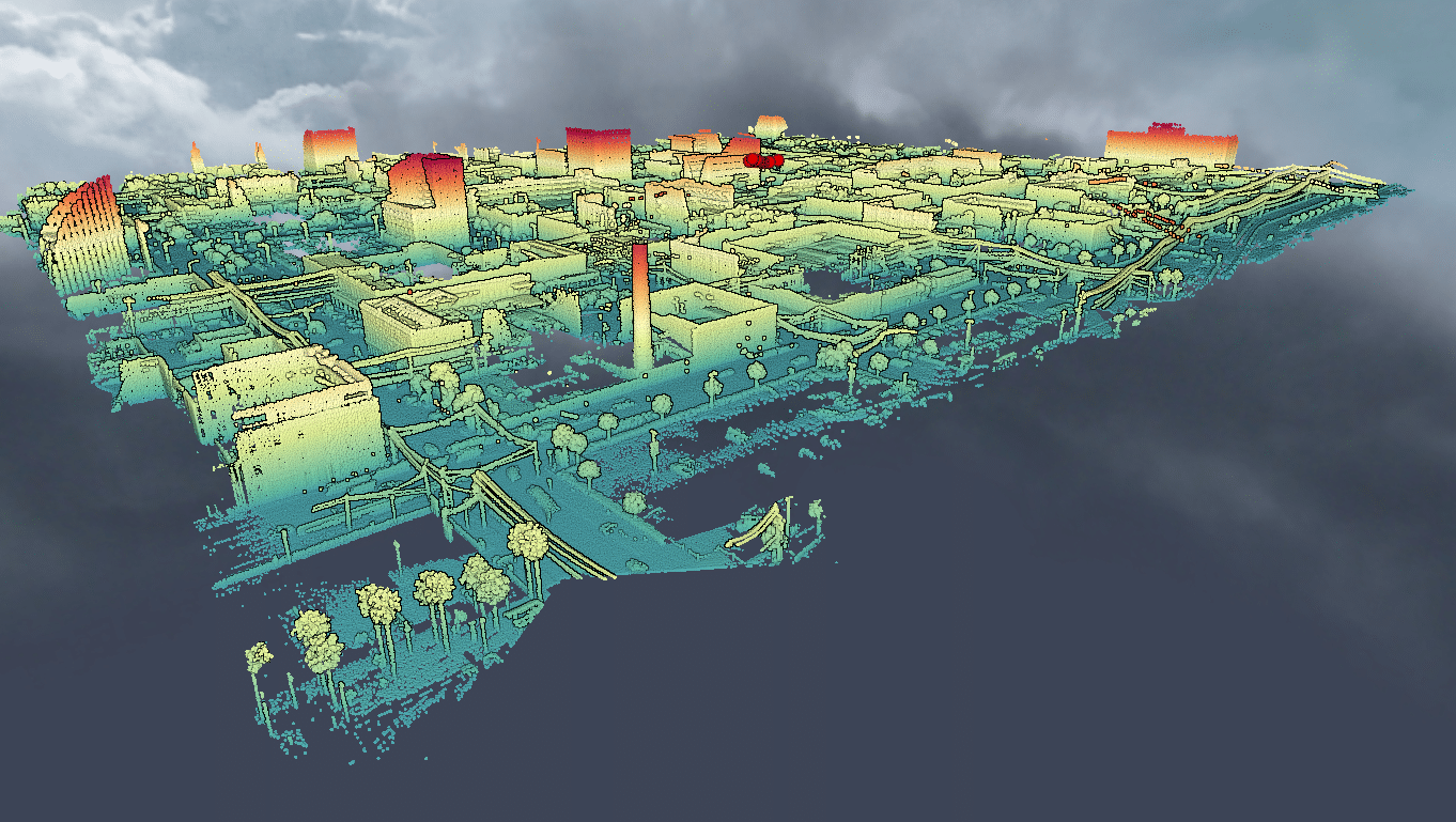
Ford has an open source Lidar dataset with seasonal variation in weather, lighting, construction and traffic conditions experienced in dynamic urban environments but how scalable is this method of collecting lidar data? AUVs need to constantly update their HD maps...
Tag: mobile mapping houston
The rise of novel technology in the fight against urban flooding
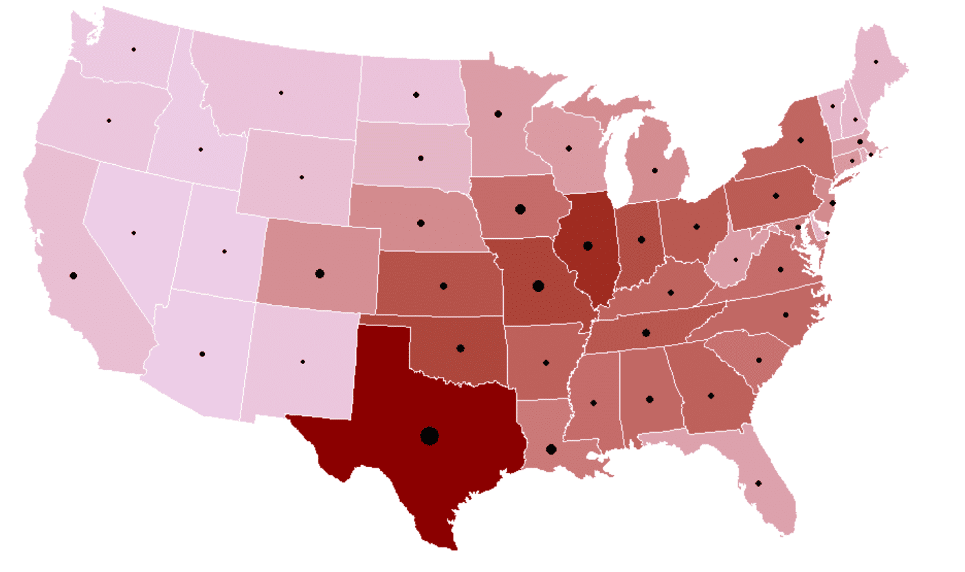
Flooding causes more damage in the United States than any other weather-related event, and can occur in any of the 50 states including U.S. territories at any time of the year. Not all states have the same exposure to storms...
Using LiDAR to model the risk in flood insurance
Using LiDAR to model the risk in flood insurance In February 2020, the Mississippi reached flood levels that had not been seen in more than 35 years. In the face of the environmental disaster, the helpless Mississippi Gov. Tate Reeves...


