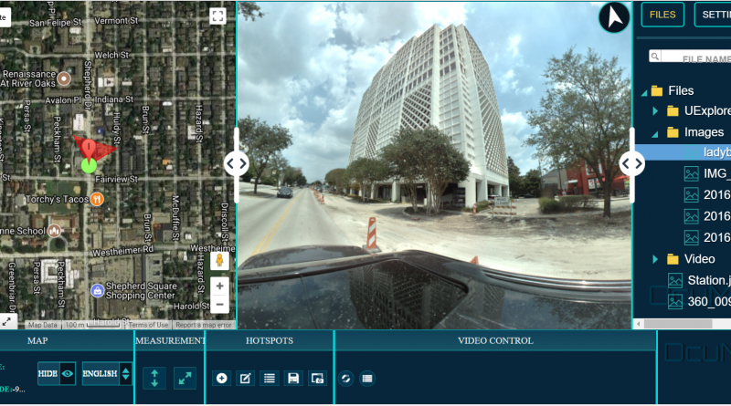
User-Friendly Mobile Mapping Software OcuMap offers users of street level imagery a comprehensive video data management software solution, enabling them to speed up data management workflows and share their data inside their organization. Over the years, street level imagery has...
