Utility Mobile LiDAR Mapping
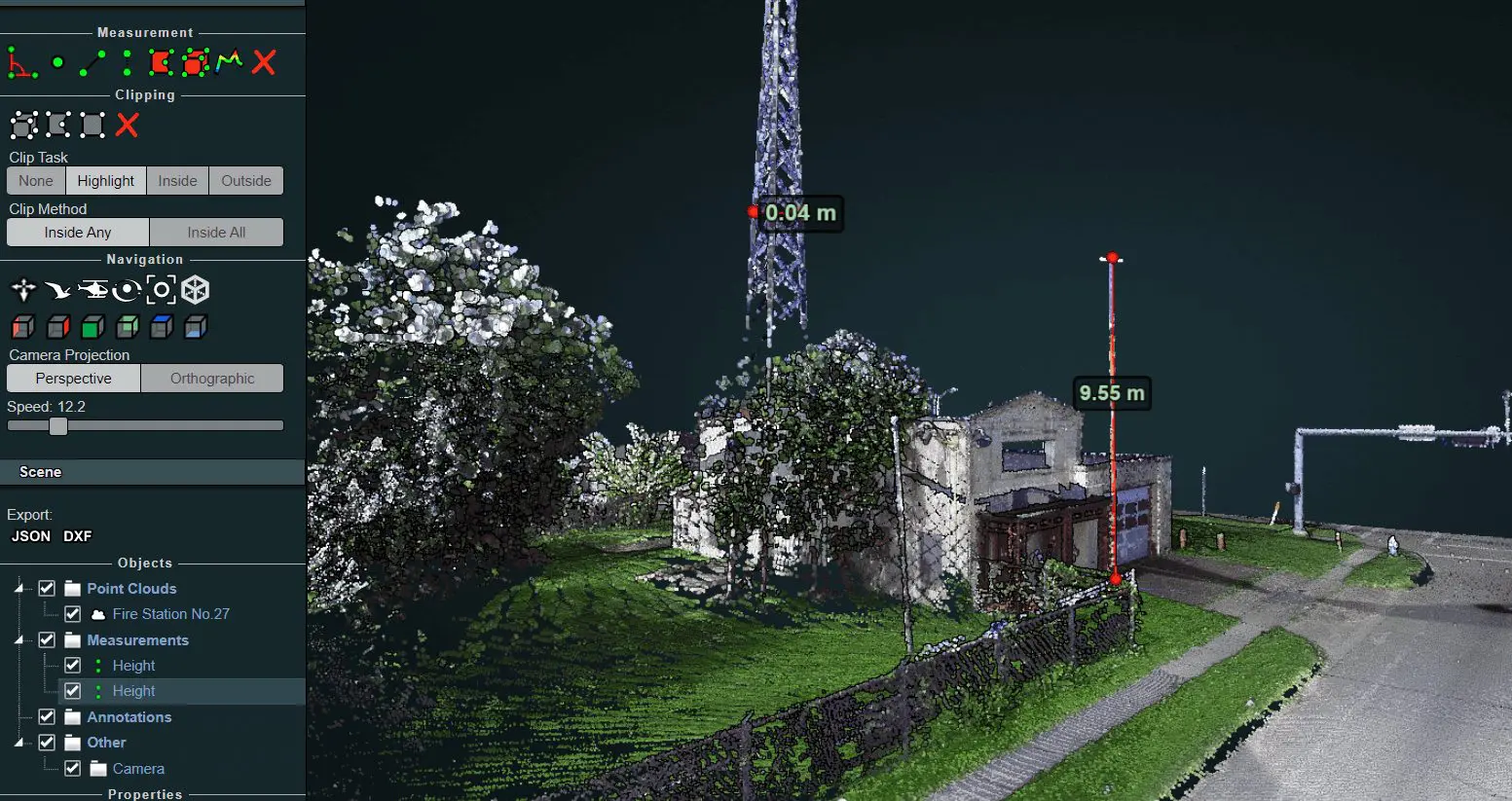
Locating above-ground utilities with conventional methods could be a cumbersome process. Reality IMT’s Utility Mapping services from our company enable Utility Coops and asset managers to document public infrastructure using mobile LiDAR (Light Detection and Ranging Imaging) as a service. Our geospatial data collection and processing team has more than 20 years of experience in collecting and processing LiDAR data on the fly.
Utility Mapping LiDAR services from our company can be utilized by multiple teams within a Co-op including engineering, emergency response and outage management, overhead analysis, and construction. We understand that asset visibility is of most importance, our team is used to light detection and ranging imaging (LiDAR) data collection late at night, early morning, and on weekends when traffic might be minimal.
Utility Mapping Services for Clients Nationwide Include:
- Clearance Measurement
- Modeling overhead lines
- Vegetation Analysis
- 3D As-Built and CAD modeling
- Pointcloud generation
Locate and Measure Features in Your Electric Distribution System

Do you know where your assets are located?
With combined expertise in engineering & geospatial mapping, we can accurately locate your electric distribution features, measure them and deliver a user-friendly viewer to help you visualize all of your assets.
GIS Data Verification, Asset Inventories & Inspection

Do you have GIS data from street level including alleyways?
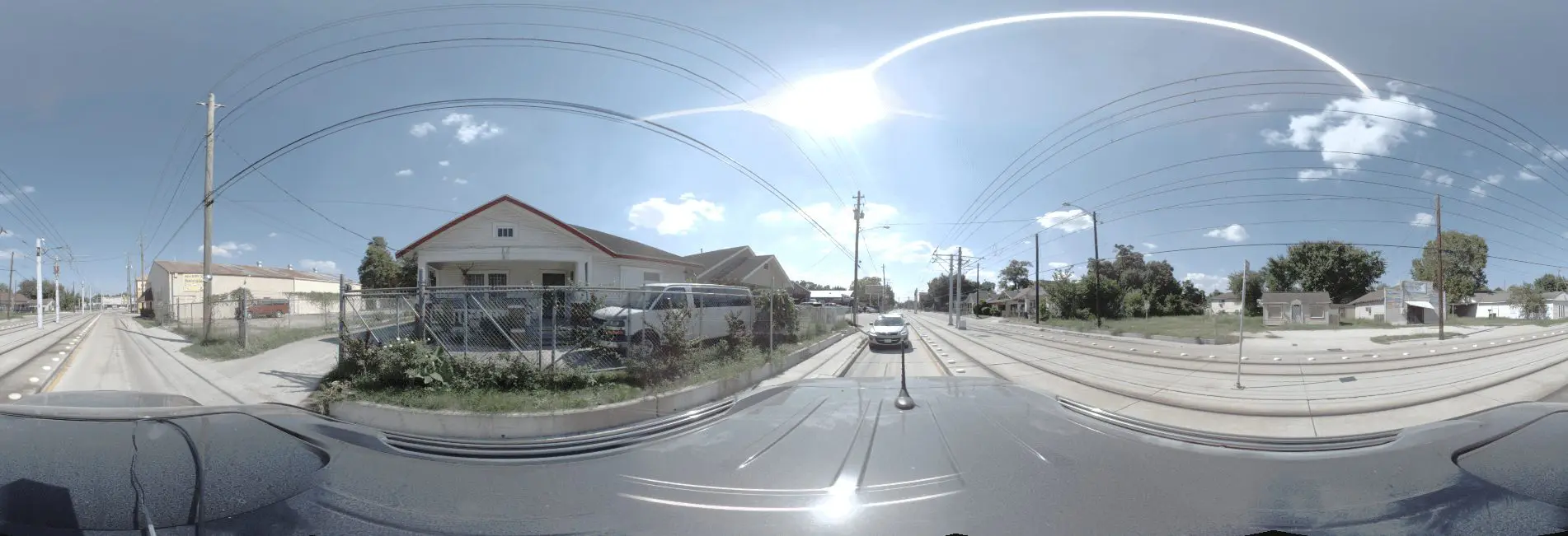
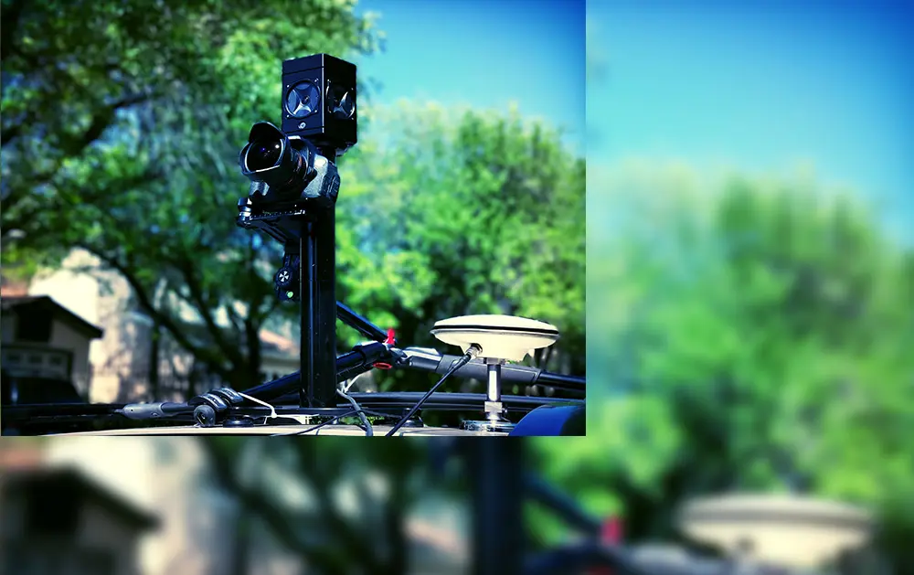
Instead of using conventional methods, Reality IMT deploys 3D utility mapping and imaging technology that can map out your city in days instead of months. The data is collected from a moving vehicle that is small enough to drive through alleyways and gathers accurate GPS, LiDAR, and Panoramic Imagery. Collected data can be delivered in multiple formats including DWG, DGN, GIS Geodatabase, or web-based 360 degree viewer.
Street Level Imaging

Get a down-up view of your poles and power lines
Our Street Level Imaging as a service is meant to capture high-resolution panoramic imagery of all above-ground utilities to help you analyze your assets from the bottom-up as if you were directly on-site. We can bring the site onto your desktop to help you increase inspection efficiency by more than 30% and reduce the cost associated with multiple site visits.