Road As-Built Surveys

Reality IMT’s road as-built surveys provide visual and location information of all assets along the right of way without disturbing traffic flow.
Both Highway and Road as-built surveys are performed at speed limits and deliver engineering grade accuracy.
Technology
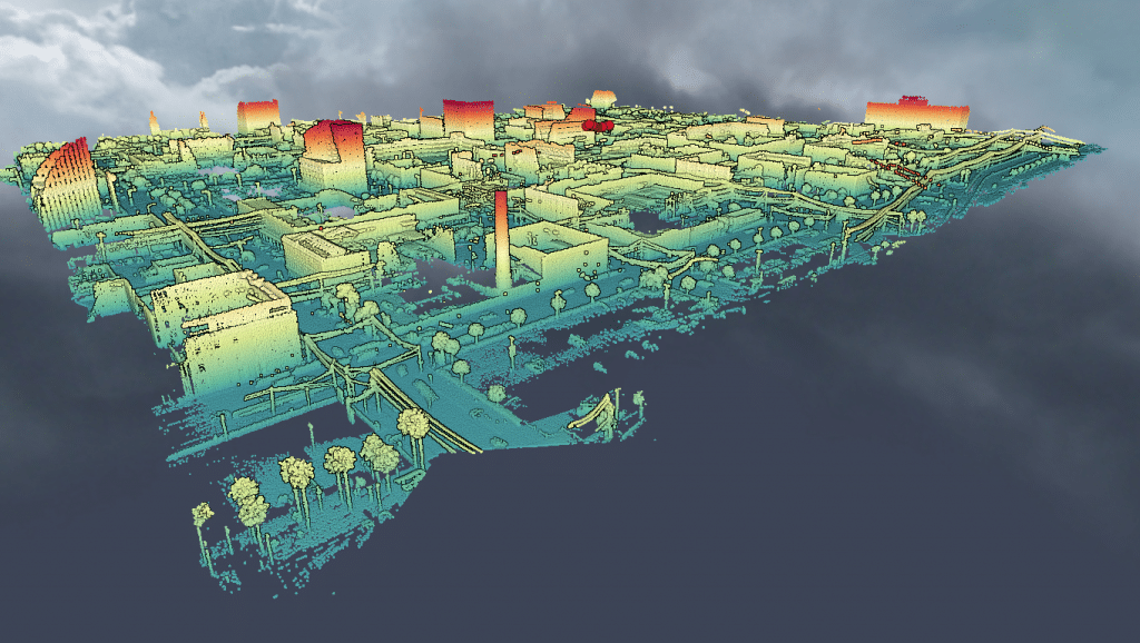
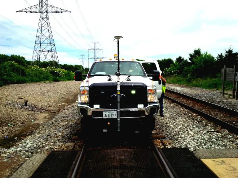
- Vehicle based LiDAR
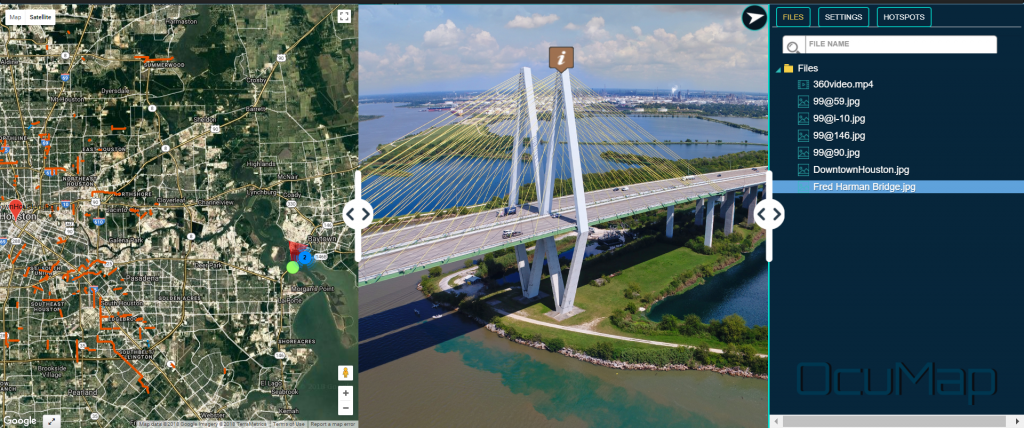
- Street Level Imagery (360° Video + Panoramic Imagery)
- GNSS+INS
- OcuMap
Application
- Infrastructure GIS Data Verification
- Asset Inventories Inspection, Engineering and Planning
- Emergency Response & Outage Management
- Overhead & Underground Construction
- Permitting, Reporting, Maps & Plans
- Feature Measurement Calculations
Delivery Format
- Shapefile & Geodatabase (GIS)
- AutoDesk Civil3D & AutoCAD
- LAS, KMZ/KML Georeferenced imagery
- Web-based application for panoramic imagery and 360° video
Benefits
- Rapid condition assessment using proven technology.
- Standard data delivery format compatible with existing enterprise system.
- Software agnostic including open source.
- Turn-key data solutions (collect, process,analyze) to save time and increase efficiency.


