3D Laser Scanning Services
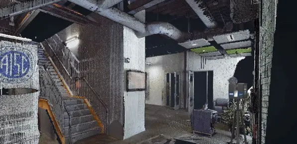
Need help with 3D Laser Scanning of existing structures? We are 3D Laser Scanning Engineers with over 10 years of experience in LiDAR Scanning. We deliver As-Built BIM or as-built CAD drawings to your desktop within days.
Our 3D laser scanning services are provided nationwide to measure the dimensions and geometry of existing structures with high accuracy. Using state-of-the-art technology and tools, our team is able to digitize vertical and linear assets at high speed without disturbing the day-to-day function of the area of interest. Our 3D Building Scanning and Measurements cover multiple elements including architectural members, structural, and MEP.
3D Laser Scanning Service For Architectural Modeling, Structural & MEP
Measuring existing buildings could be time-consuming and risky. Our 3D laser scanning service brings the entire site onto your desktop in the form of ready-to-use Revit, ArchiCAD, or DWG.
3D Laser Scanning to BIM
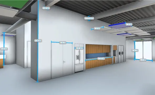
Get ready to use As-Built BIM delivered in Revit, Sketchup or ArchiCAD.
3D Laser Scan to CAD
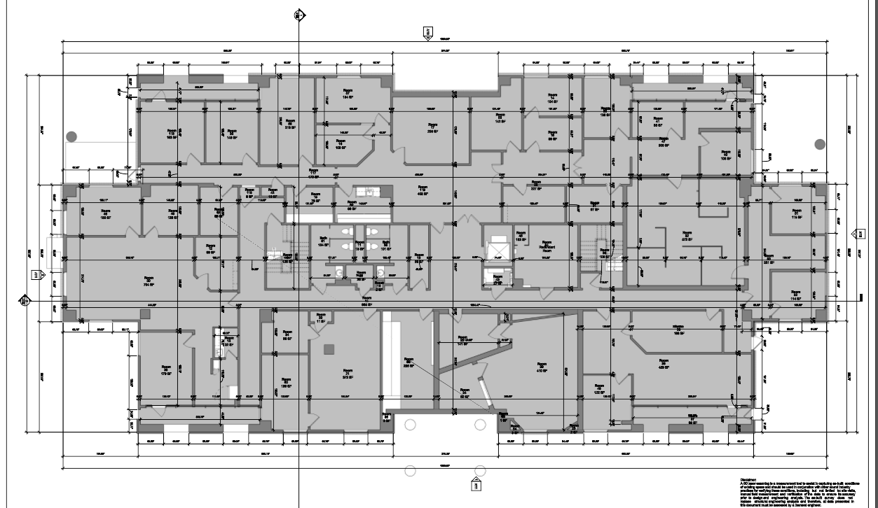
Get ready to use As-Built BIM delivered in Revit, Sketchup or ArchiCAD.
3D Laser Scanning-Construction
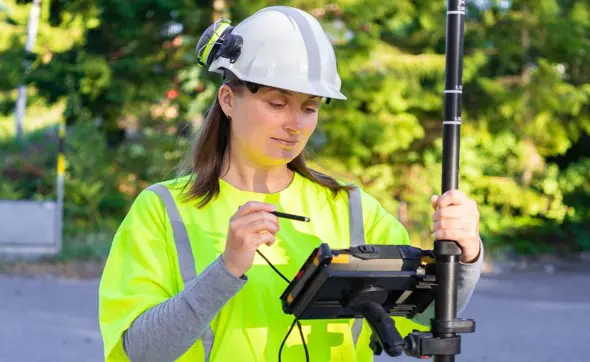
Construction documentation for every job site.
Laser Scanning FAQs
1. What is 3D Laser Scanning and what is it used for?
3D laser scanning is a method used to measure dimensions and geometry of existing structures with high accuracy. The instrument used to measure dimensions is called a 3D laser scanner. 3D laser scanning is used to replicate real life objects needed to deliver an as-is or an as-built survey for further engineering analysis.
2. What are the benefits of a 3D Laser Scanning survey?
When compared to conventional measurements methods, a 3D laser scan survey provides millions and sometimes trillions of surface measurements in 3D, making it a much more detailed survey. See more applications here
3. How much does a 3D Laser Scan survey cost?
Pricing a 3D laser scan survey depends on the area being scanned and the level of details needed. The larger the area, the more scans will be needed to cover it. It also depends on how many walls or obstructions are in the vicinity, the more obstructions, the longer the survey will take and the more it will cost. Another factor is whether or not colored scans are needed. Colored scans take longer to capture and cost more but provide better visuals.
4. What 3D Scanner should I use to scan the exterior and interior of a structure?
Almost all professional grade laser scanners can operate indoor and outdoor. One important factor to consider when selecting a 3d laser scanner is range. If you need to scan tall structure, determine the maximum height you will be dealing with then multiple it by 3 to help you decide on the scanning range. Another factor to consider is accuracy or ranging error. This is a number provided by the manufacture showing the + and – tolerances.
5. Is 3D Laser Scanning suitable for a topographic surveys?
Yes, the amount of data measurements collected by a 3D laser scanner makes it an ideal solution for a topographic survey as it logs the x,y,z values of every inch in the surrounding area. A survey control point will be needed to tie in the laser data to a datum.
6. What software is used in 3D Laser Scanning?
Depending on the type of scanner used, each manufacturer has their own software that is compatible with the laser data (pointcloud). Pointcloud registration software include Scene, Cyclone and Recap. Once the pointcloud data is registered, it can be imported into many different software tools depending on the project needs.
7. What is the cost of a 3D Laser Scanner?
Professional grade 3D laser scanners range between $25K to $90K depending on accuracy, manufacturer, and use case.
8. Can I create a BIM using a 3D Laser Scanner?
Yes, the process for creating a building information model (BIM) using our 3D laser scanner includes: scanning the building, registering the pointcloud data, converting the pointcloud data into an RCP/RCS format, then importing RCP/RCS into Revit for modeling. It is important to point out that the scanner in itself does not provide a ready to use BIM. Our team will use an an architectural modeler to create Revit families and add any relevant information to the model manually.
Engineers, Architects, and Facility Managers rely on us in delivering survey-grade measurements and as-is engineering analysis using our 3D laser scanning and CAD modeling
Sample Deliverables
- Floorplan and Roof Plan
- Door & Window Schedules
- Exterior Elevations
- Reflected Ceiling Plan (RCP)
- Fire Suppression System
- FF&E
- Electrical Panels & Electric Fixtures
- HVAC System
- Plumbing Plans & Plumbing Fixtures
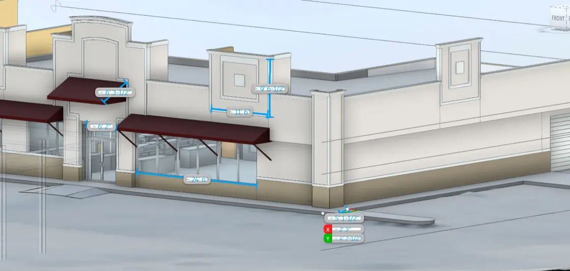
Pointcloud Conversion Services
We help you streamline as-built data processing, and CAD generation throughout the project life cycle.
Do you have large sets of pointcloud data that you need to convert to a user-friendly format? Read More
Our pointcloud processing team can convert pointcloud data of any format to a ready-to-use BIM based on your requirements. We follow a rigorous QA/QC process to ensure accurate models are built while using the pointcloud as our benchmark. As-Built CAD models can be generated using existing 2d drawings, engineering specifications, and site survey. Once the model is built, it could be used as the 1st input into your digital twin project, planning upgrades, design and maintenance, even budgeting.