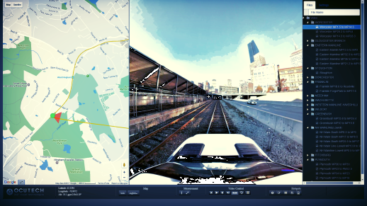
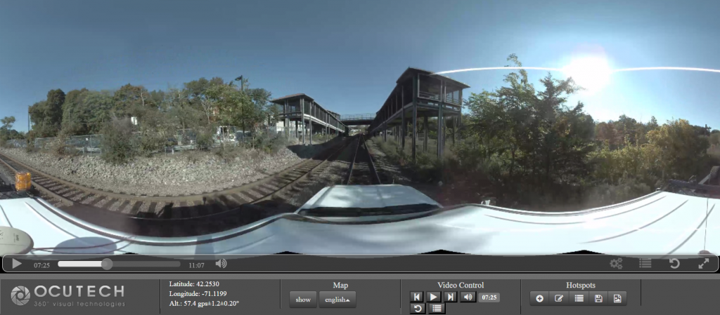
Every railroad corridor requires a set of fiber optics cable network in order to keep it running but what does railroad 360 video mapping have to do with this? Like any other construction project, installation of a fiber optics cable...
Category: Mobile Mapping
Mobile mapping is a vehicle based visual mapping system with precision GPS, panoramic imaging camera and LiDAR. It is used to document infrastructure conditions to high degree of accuracy, typically with 3 cm. As-Built CAD can be generated as a result of the data to help engineers understand site topography, elevation differences, and assets along corridors.
Railroad Panoramic Imaging
Street view Imaging for railroads streamlines planning & Inspections Every railroad corridor requires a set of fiber optics cable network in order to keep it running. Like any other construction project, installation of a fiber optics cable network requires a...

