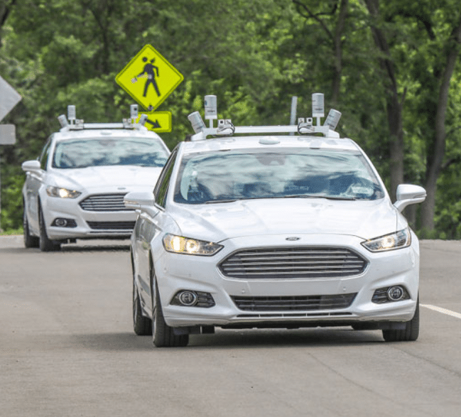
Ford has an open source Lidar dataset with seasonal variation in weather, lighting, construction and traffic conditions experienced in dynamic urban environments but how scalable is this method of collecting lidar data? AUVs need to constantly update their HD maps...
Category: Mobile Mapping
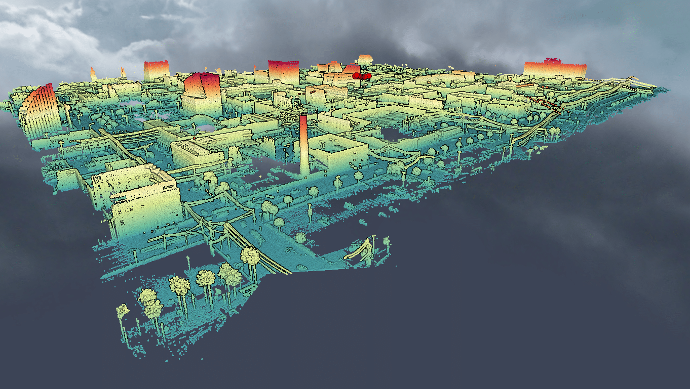
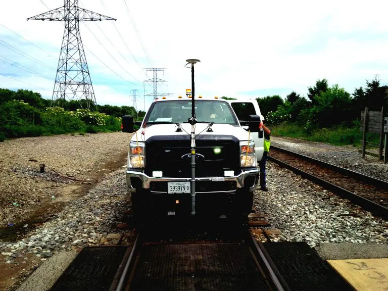
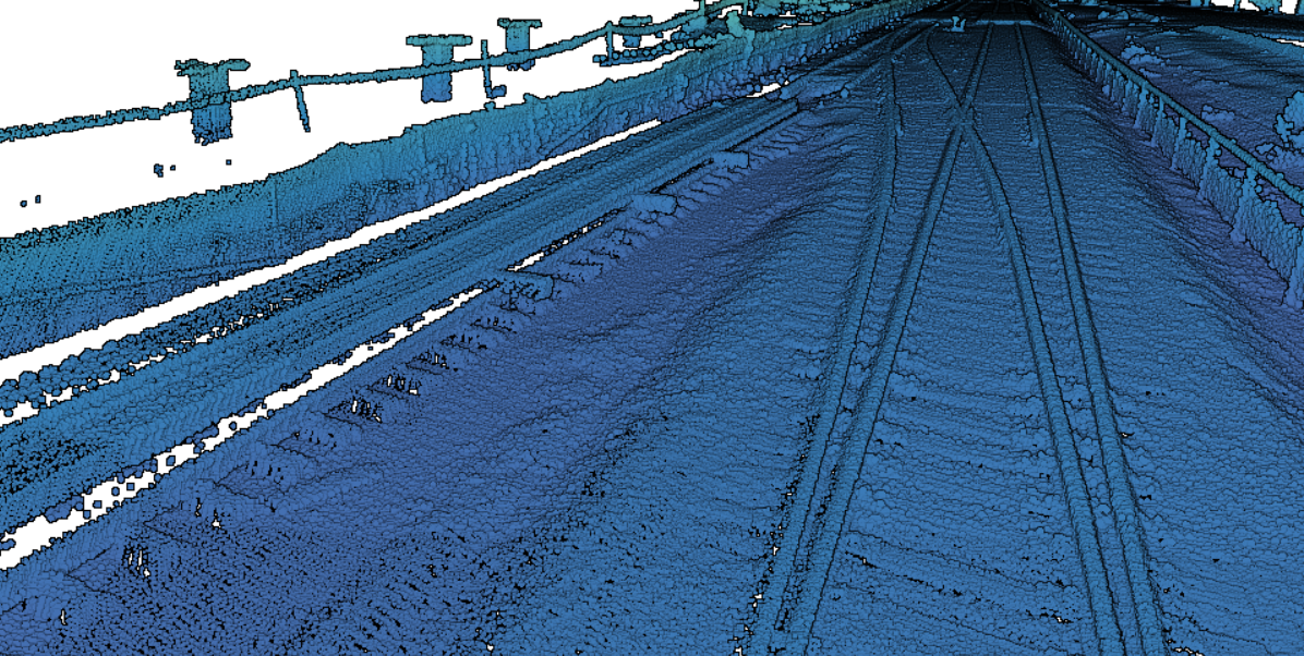
Mobile mapping is a vehicle based visual mapping system with precision GPS, panoramic imaging camera and LiDAR. It is used to document infrastructure conditions to high degree of accuracy, typically with 3 cm. As-Built CAD can be generated as a result of the data to help engineers understand site topography, elevation differences, and assets along corridors.
The rise of novel technology in the fight against urban flooding
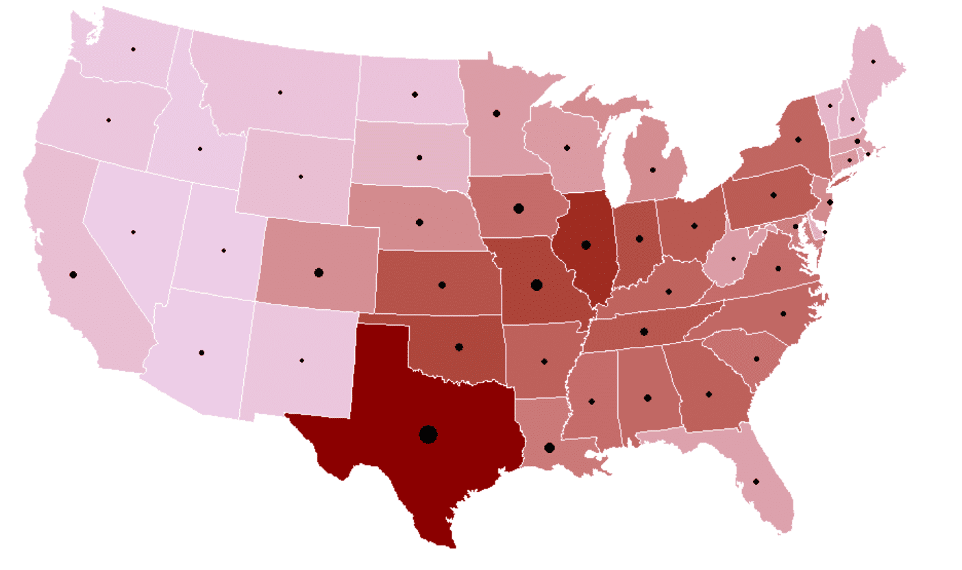
Flooding causes more damage in the United States than any other weather-related event, and can occur in any of the 50 states including U.S. territories at any time of the year. Not all states have the same exposure to storms...
Using LiDAR to model the risk in flood insurance
Using LiDAR to model the risk in flood insurance In February 2020, the Mississippi reached flood levels that had not been seen in more than 35 years. In the face of the environmental disaster, the helpless Mississippi Gov. Tate Reeves...
Map Projection
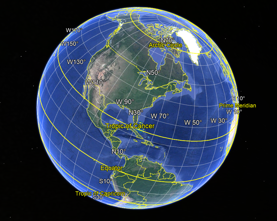
Map Projection Basics Map projection is a crucial technique used for hundreds of years to ensure coordinates are projected accurately onto a flat map. Watch this great video by Vox explaining why we use projections when dealing with geomatics and...
Right of Way Imaging and Mapping- The Right Way
Reality IMT’s 360o video mapping supports Rail Right of Way Mapping survey and acquisition best practices at a fraction of the cost of other 3D mapping technologies Energy companies, railroads and utilities as well as the public sector face a...
Track Survey Technology
1. INTRODUCTION 1.1. PURPOSE OF THIS DOCUMENT This document is prepared to provide information on Reality IMT’s Track Survey Technology including hardware, software, sample scope of work, and how the technology is being used in asset management and signals. 1.2....
