How video log and LiDAR are changing City planning City planning has always been a crucial aspect of urban development, aiming to create sustainable, efficient, and livable spaces for the growing population. With advancements in technology, video logs and LiDAR...
Category: General
Optimizing physical spaces and assets in real-time using ICT and SDT
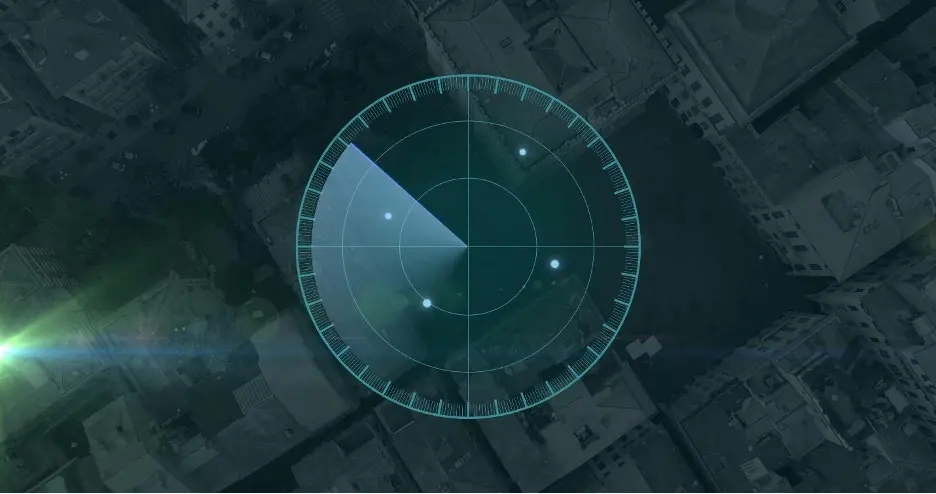
Over the past few years, geospatial technology has become an increasingly accurate tool for mapping the world. Today, this technology is used to optimize physical spaces and assets in a multitude of ways, resulting in more sustainable and efficient uses...

Apple’s VR Technology?
Apple recently held its Worldwide Developers Conference (WWDC) and included one surprise announcement that has everyone talking. Let’s take a look at the Vision Pro and how it fits into Apple’s long history of technological innovation. A history of excellence...
Boosting Commercial Renovation Projects Using 3D Laser Scanning
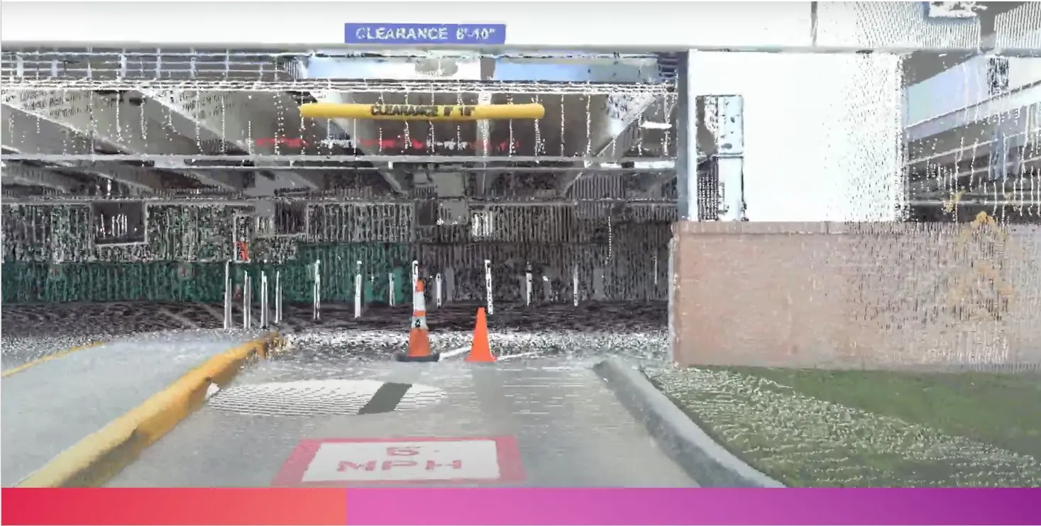
Boosting Commercial Renovation Projects Using 3D Laser Scanning In recent years, the construction industry has witnessed remarkable advancements in technology, revolutionizing the way projects are planned and executed. One such groundbreaking innovation is 3D laser scanning, a cutting-edge technique...
LiDAR in Architecture
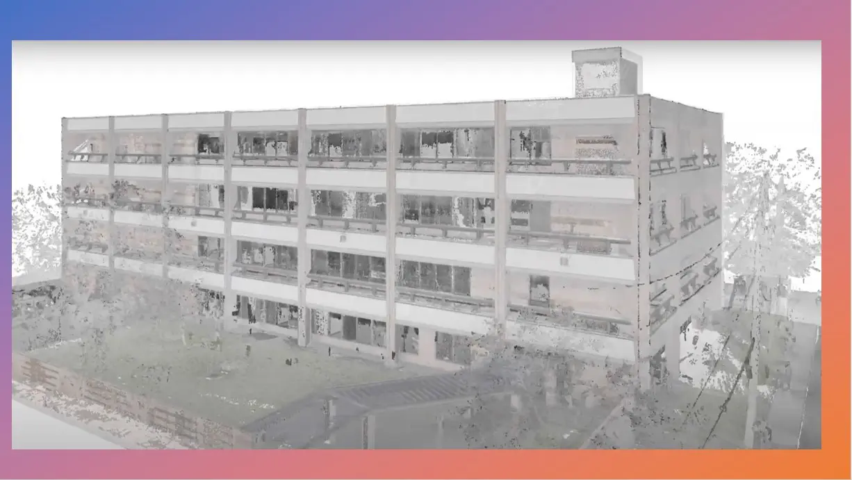
LiDAR in Architecture: How Technology Is Changing the Way We Design In the field of architecture, technological advancements are revolutionizing the way we approach design and construction. One such groundbreaking technology is LiDAR (Light Detection and Ranging), which has...
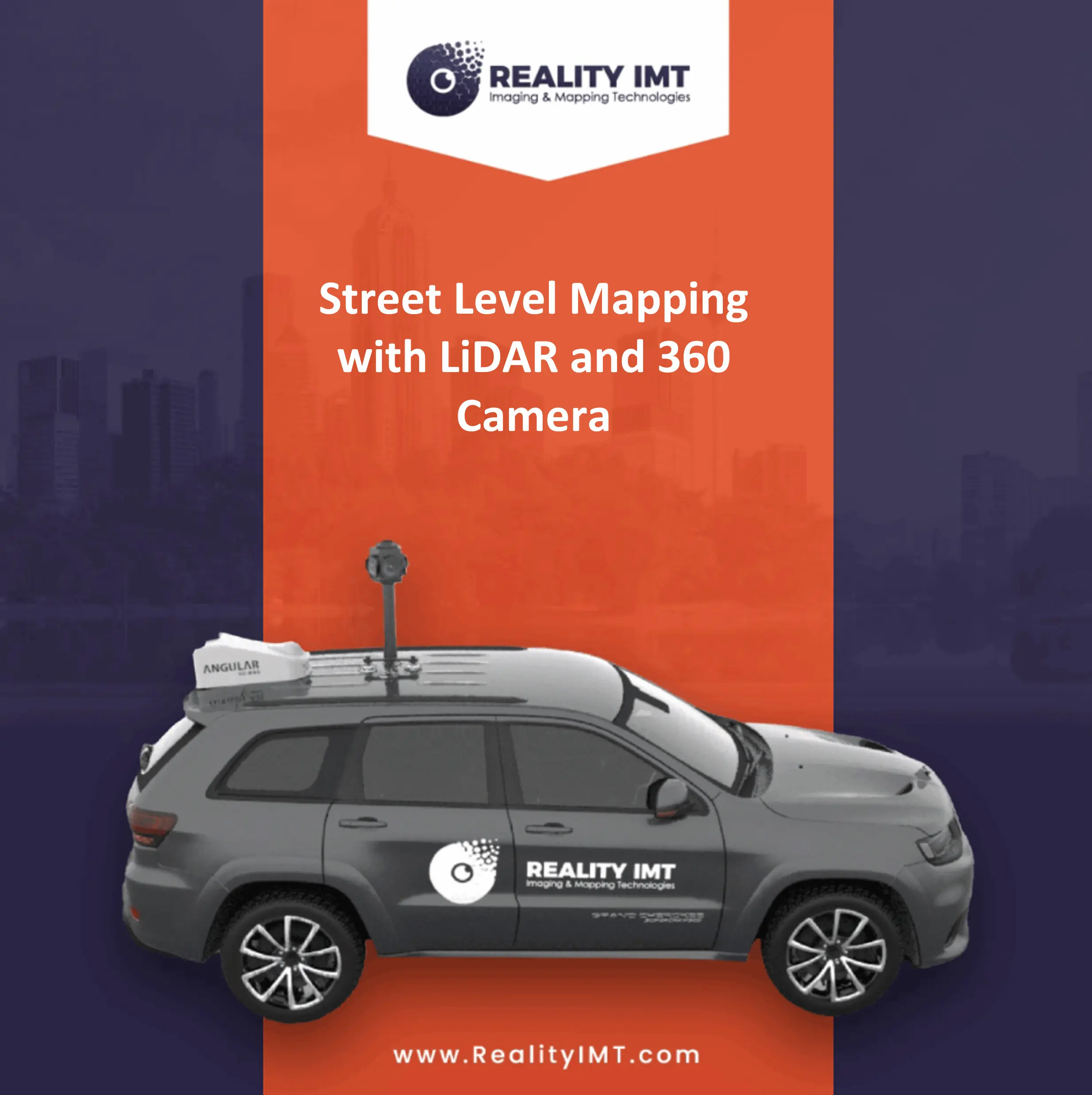
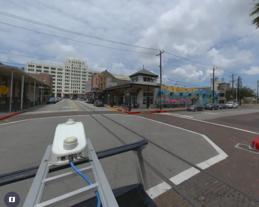
Unlocking the Power of Street Level Mapping with LiDAR and 360 Camera
Unlocking the Power of Street Level Mapping with LiDAR and 360 Camera: Revolutionizing Circuit Utility Documentation In today’s fast-paced world, accurate and comprehensive data is crucial for efficient urban planning, infrastructure management, and circuit utility documentation. Thanks to advancements in...