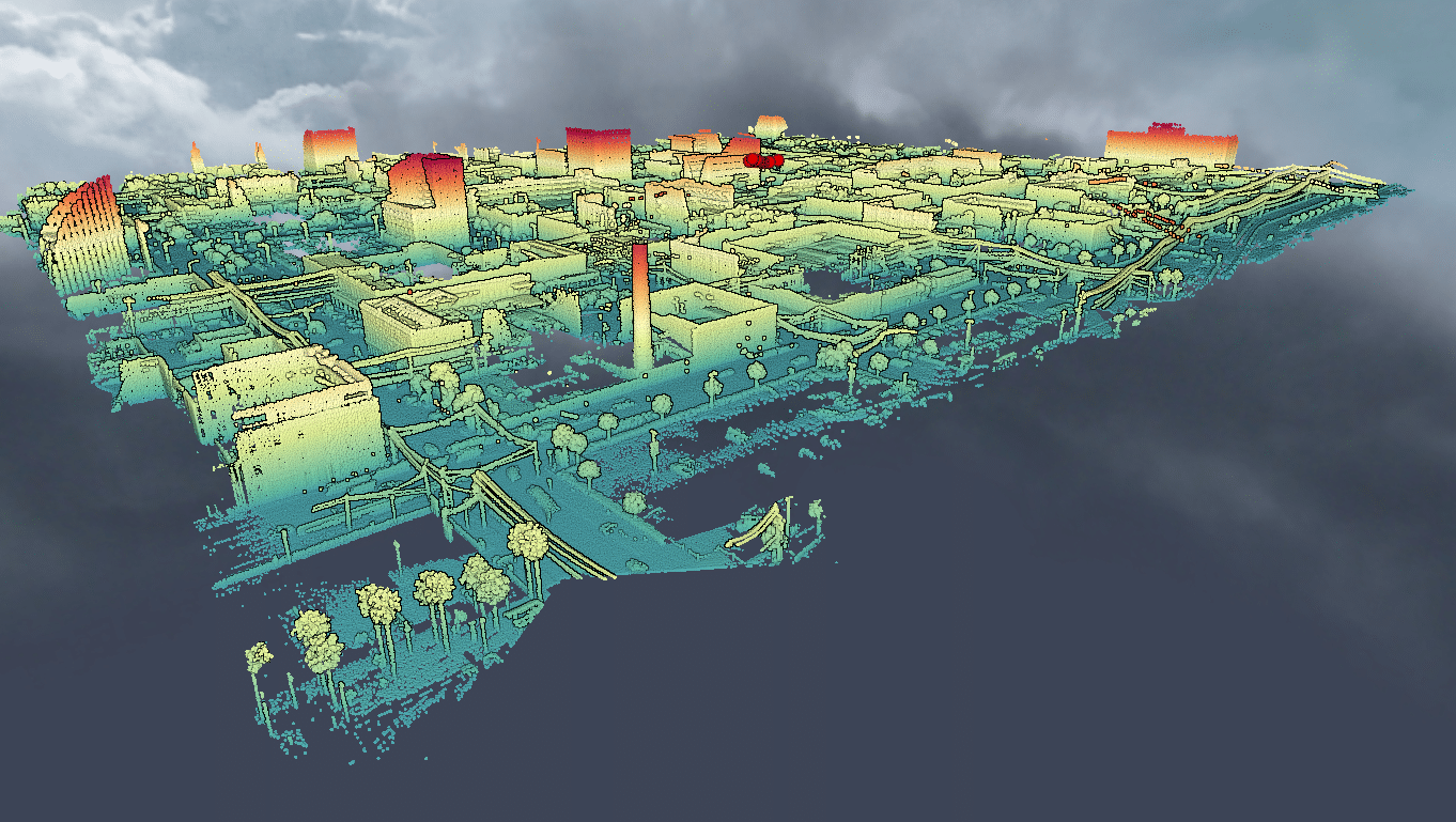
Ford has an open source Lidar dataset with seasonal variation in weather, lighting, construction and traffic conditions experienced in dynamic urban environments but how scalable is this method of collecting lidar data? AUVs need to constantly update their HD maps for to ensure an exact replica of the street is available in their navigation system, otherwise, the risk of crashing increases.
Need help collecting and processing street level Lidar data?


